
Video (6 min):
Good Friday everyone!
We are watching a piece of energy slide through the Midwest this morning. This is dropping freezing drizzle and scattered snow showers in Northern Missouri right now and this will continue throughout most of the day. The hi-resolution NAM shows this potential throughout the day and into the overnight hours.
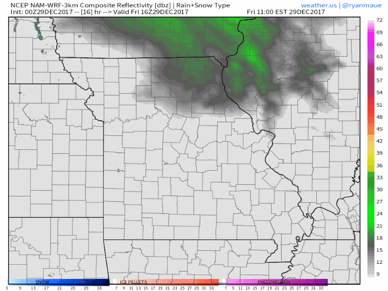
This could put down some light accumulations – around a half an inch – in Northeast Missouri.
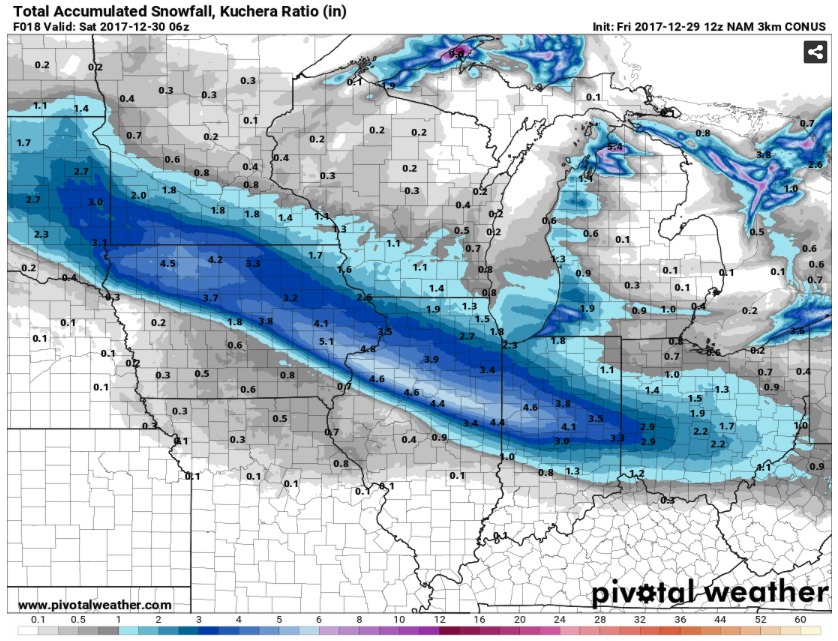
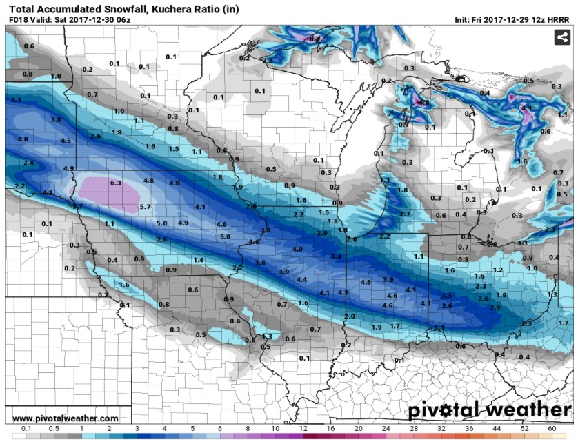
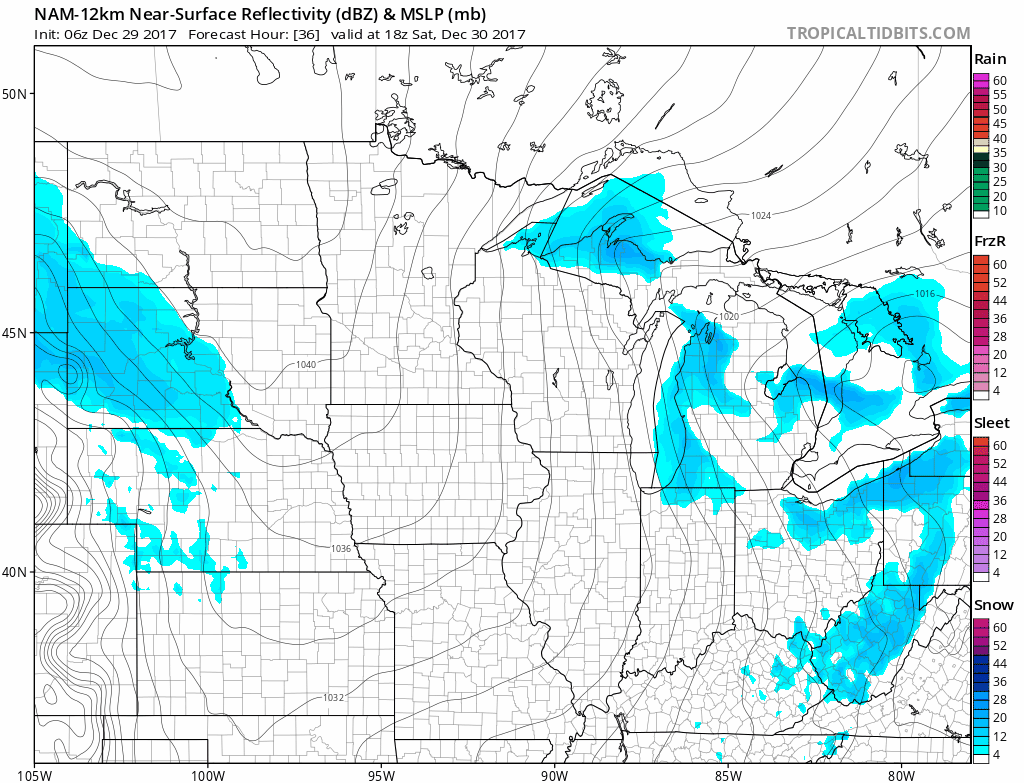
Models are picking up on a piece of energy that will dive into the Central United States late Saturday. This could produce some scattered snow showers or freezing drizzle, but with an arctic high plummeting into the US, much of this will be suppressed.
As that arctic high invades the United States, temperatures will become bitter this weekend and into early next week. Low temperatures look to be in the single digits or below for almost the entirety of Kansas and Missouri on Sunday, Monday and Tuesday mornings. New Year’s morning looks to be the coldest with below zero values possible for Northern Missouri and Northern Kansas.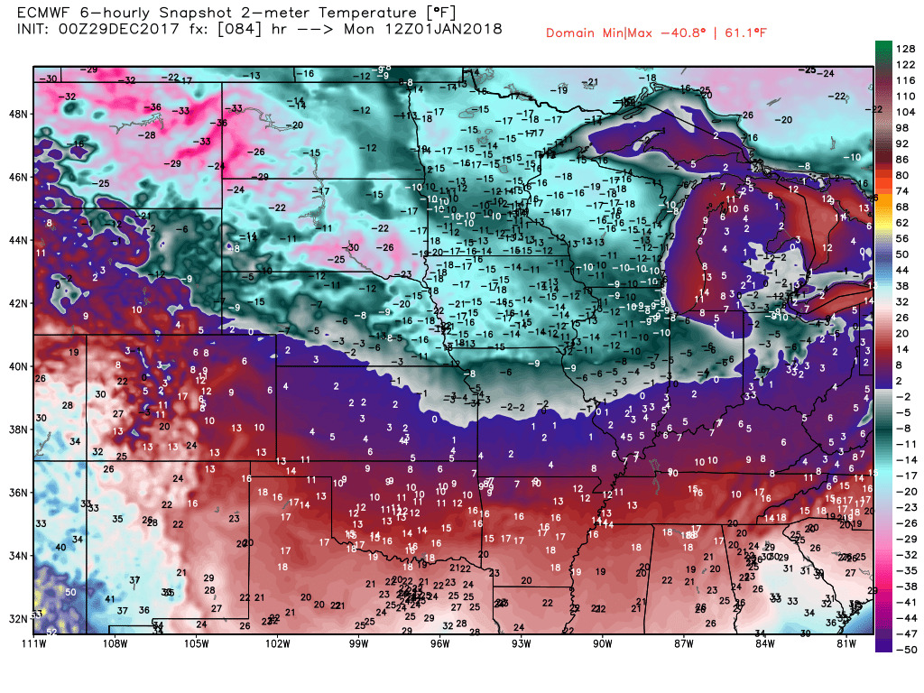 Overall, a bitter week of cold is on tap. If you have any questions don’t hesitate to reach out! Stay warm and have a great weekend!