Good morning,
Dealing with T’storms this morning as the 1st wave passes off to our east. I estimate you picked up around 0.25″ or so overnight. As the first wave departs we will watch for another wave west to arrive a bit later today along the cold front. Latest data is wanting to stall out this front some so it could make for a tricky forecast on timing. I think there could be scattered showers around the entire game in hit or miss fashion with a better storm threat possibly severe developing around the 3-7pm time frame. Need to just watch radar trends here. Dew points will be very soupy in the 70s today with a high temp around 84. This will make any storm that develops capable of very heavy rainfall. Overall I’m optimistic you could get your game in with little delay if the energy holds off until closer to 5pm but cloud cover will determine that overall.
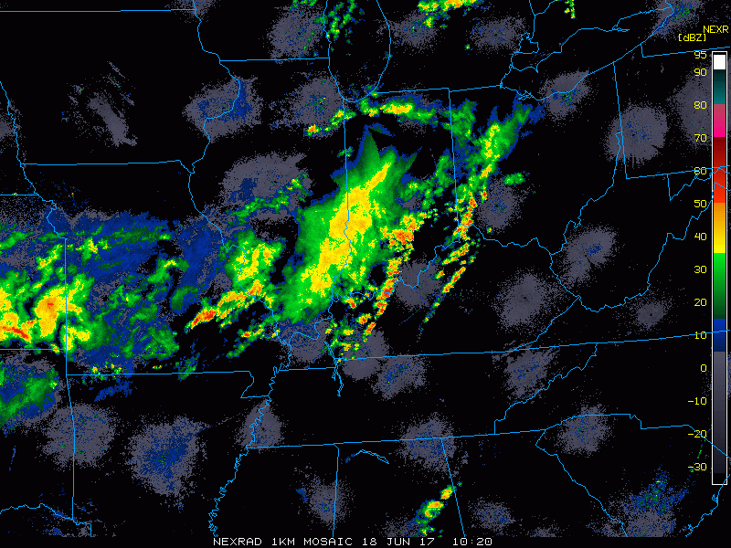
Current radar loop as of 8:30AM:
Forecast frontal location still at 8pm tonight is to your west keeping atmosphere juicy: 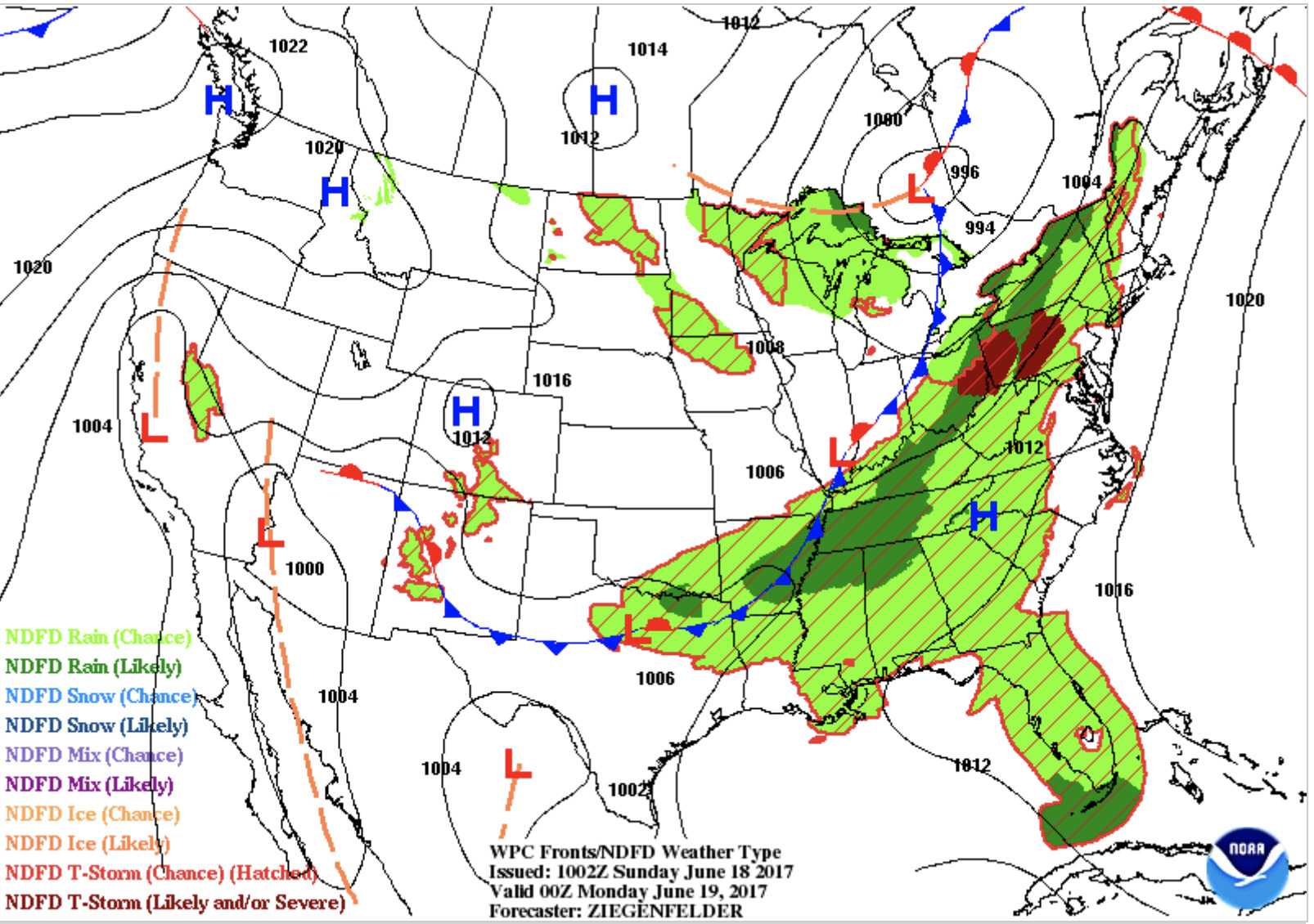
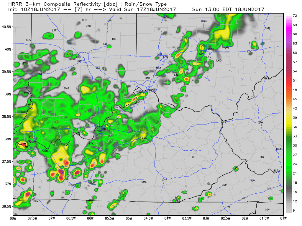
Forecast radar loop from 12pm-7pm via latest HRRR:
Best supply of energy comes in ~5pm tonight via the HRRR model: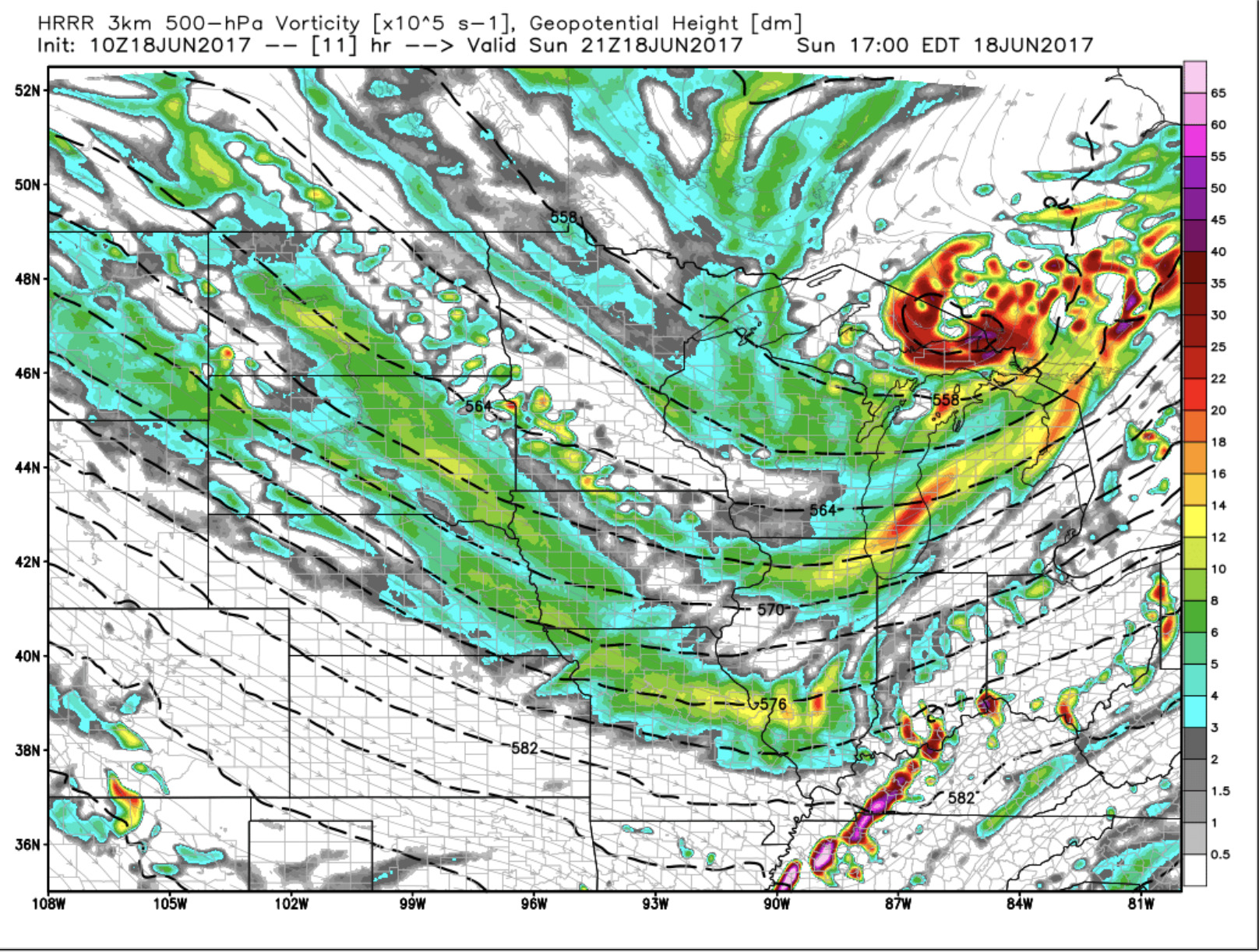
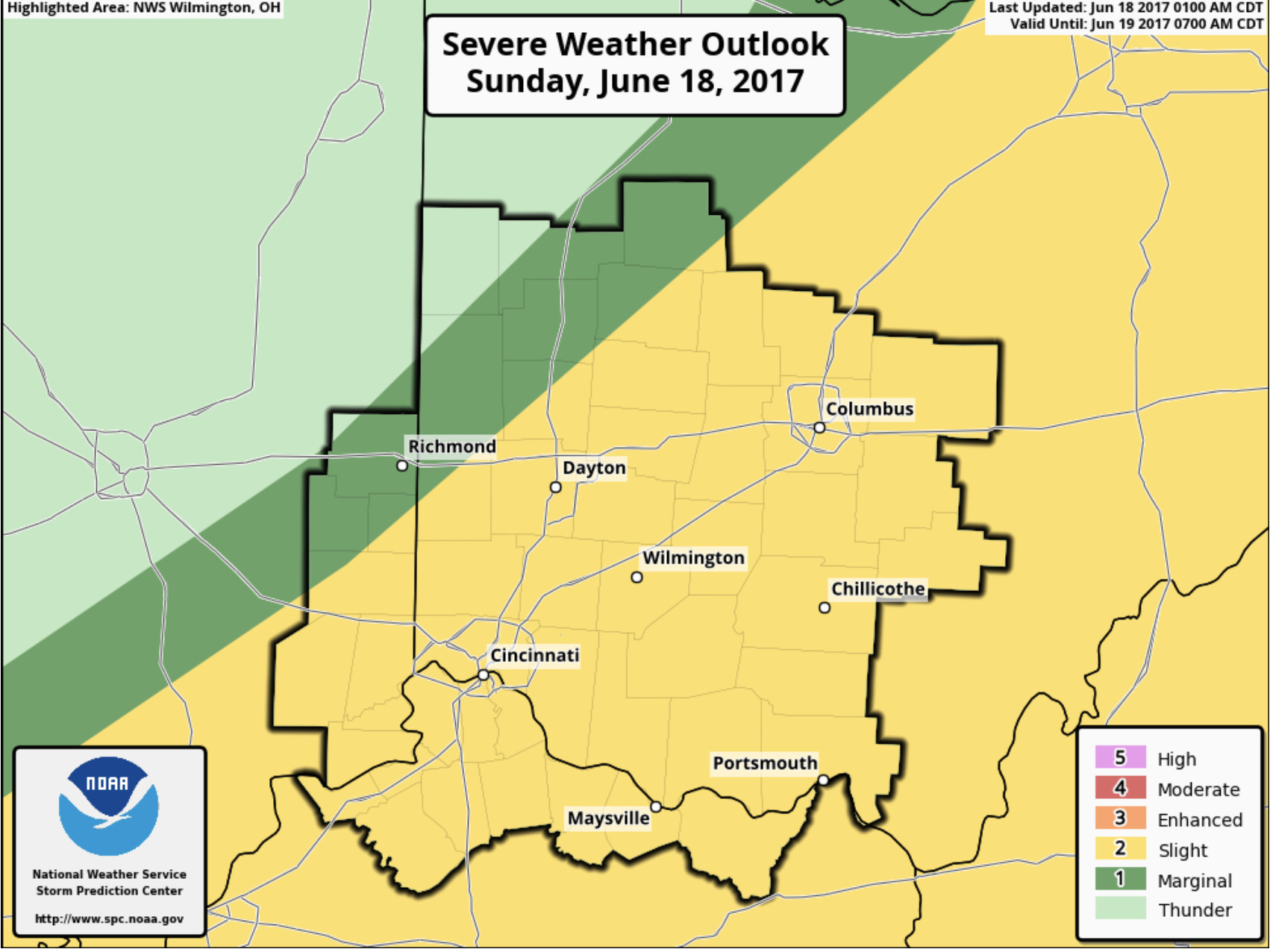
SPC has a slight risk of storms for the area: