Good Friday afternoon! Storm chances will continue over portions of Ohio and Kentucky this afternoon ahead of a cold front moving through the Ohio Valley. Unseasonably cool and dry air is filtering in behind the front. Much of Saturday will be quiet, then the next system builds in Saturday night through Sunday. Detailed analysis in the video. Have a great afternoon, and let us know if you have any questions.
Short-term video (5:51):
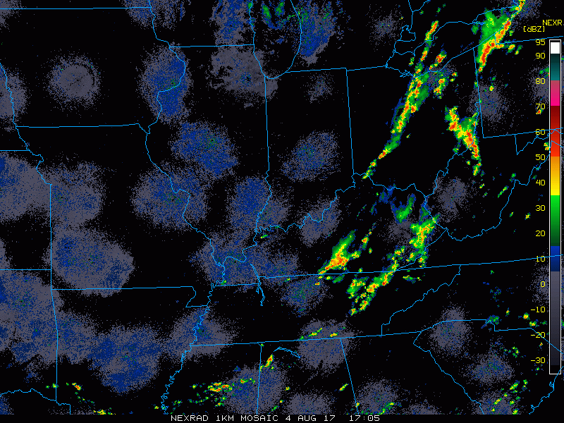
Current radar shows showers and storms firing across central/eastern Ohio into southeast Kentucky, ahead of a cold front sweeping through the region.
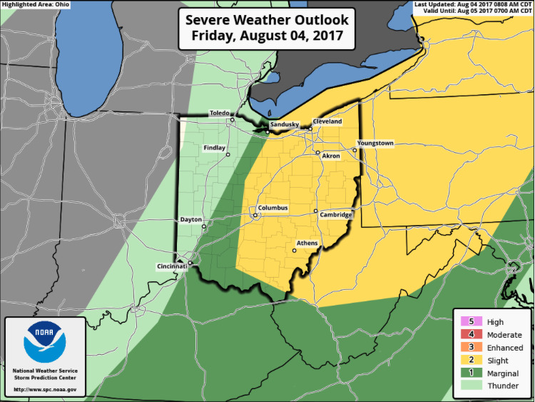
A slight risk for severe storms is in place across the eastern half of Ohio, with a marginal risk into southeast Kentucky for this afternoon. Main threats will be damaging wind and hail.
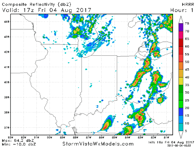
Below is an animation of the HRRR model going through the afternoon and evening.
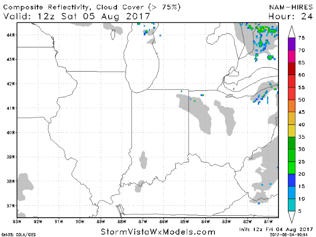
Much of Saturday will be dry, with rain and storms moving into Illinois Saturday night building eastward through Sunday.
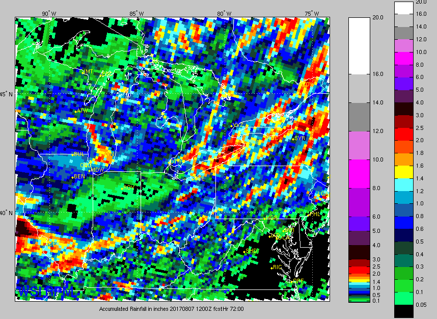
Here is a look at rainfall accumulation over the next 60 hours. Heaviest rain potential over southwest Illinois, and the most widespread coverage over the southern half of the region.