#PAwx #OHwx #CTwx #NYwx #NJwx #MAwx #RIwx Showers Today, Beautiful Weekend Upcoming! Details Here. E.
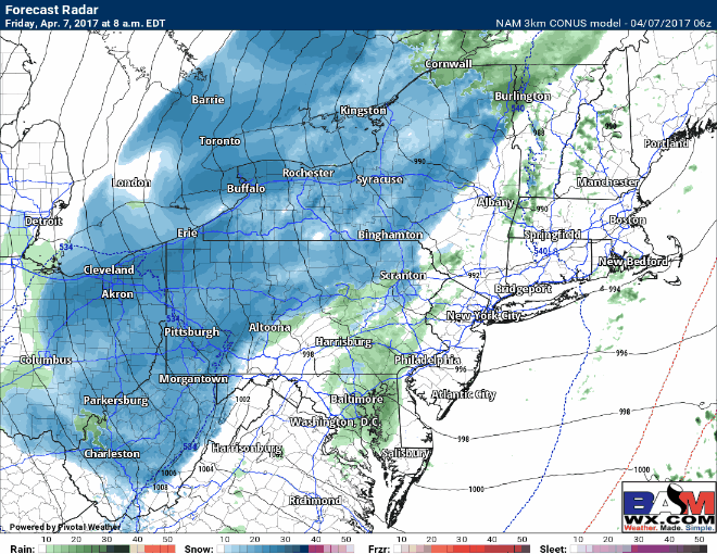
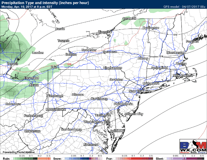
Good morning. The system that brought severe weather and plenty of rain to the region yesterday continues to sit and spin across the interior Northeast. This is bringing some snow showers to western areas and a few showers east. Here’s the latest radar.
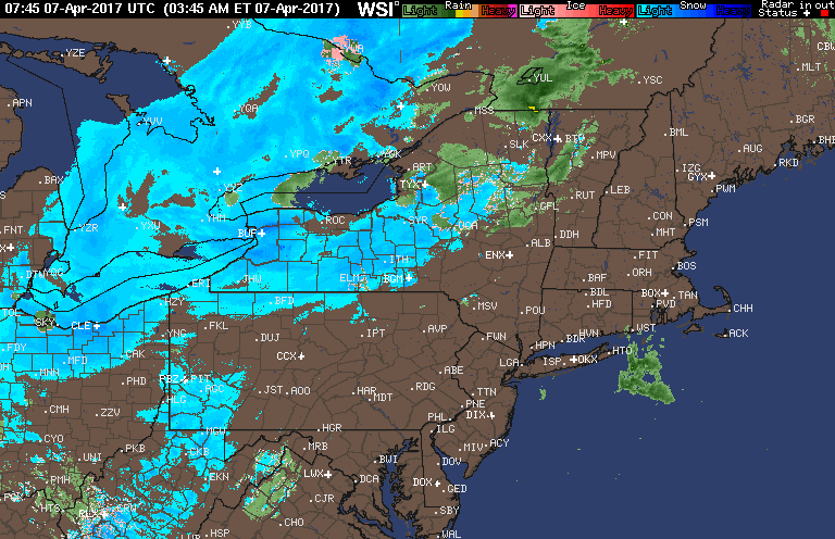
With temperatures above freezing today, so won’t stick to roads in western areas, but snow showers west and rain showers east will continue through the evening before tapering off.
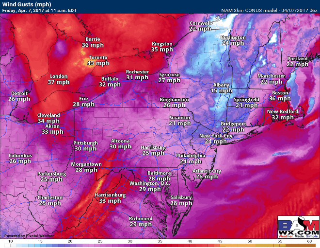
Sunshine and warmer temperatures return for the weekend with no precipitation expected into early next week. However, behind this system, winds will be gusty this afternoon through Saturday.
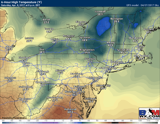
Temperatures Saturday through Tuesday will progressively warm and by early next week, it’ll feel like summer. Take a look at these high temperatures!
Our next chance of any rain comes Monday night into Tuesday west, and Tuesday afternoon and night east as a cold front moves through. Rainfall looks light at this point, but it will bring a return to seasonable temperatures (50s and 60s) for this time of year.
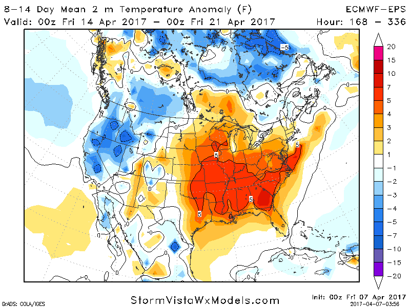
Overall, a near to above normal regime looks to continue through the next 2 weeks. Here’s a look at week 2 temperatures compared to normal.
Risks and Confidence:
- High confidence in a nice weekend into early next week with warmer temperatures each day.
- Moderate confidence in a cold front moving through Tuesday and Tuesday night with a few showers.
- High confidence in near to above normal temperatures lasting through week 2.
Today’s video (5 minutes):