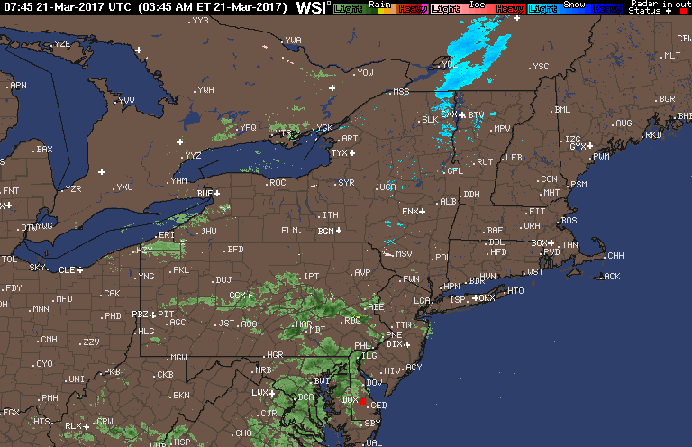
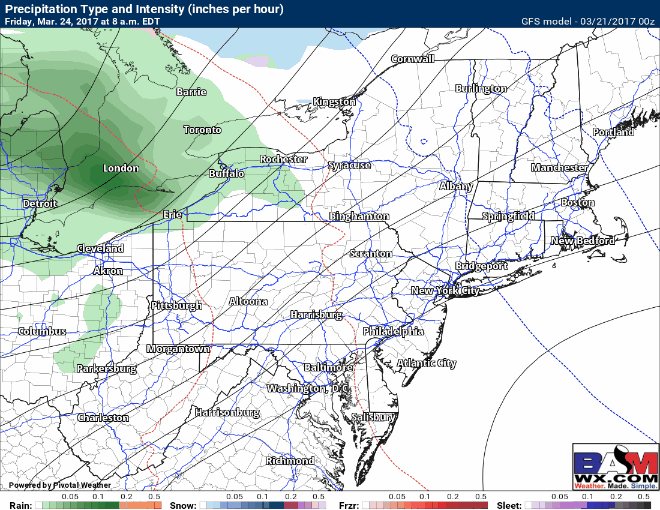
Good morning! We have a few rain showers out there this morning across PA and NJ, otherwise we are tracking some warmer air moving into the region again for today. Here’s the latest radar.
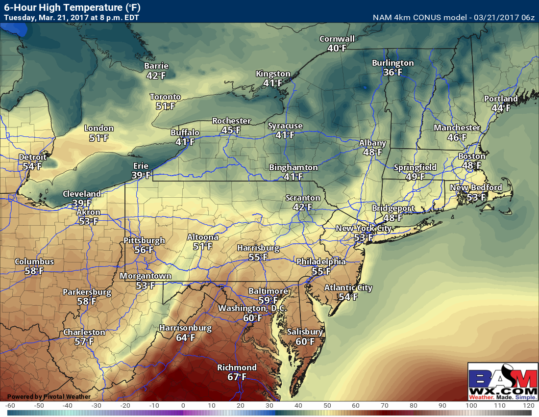
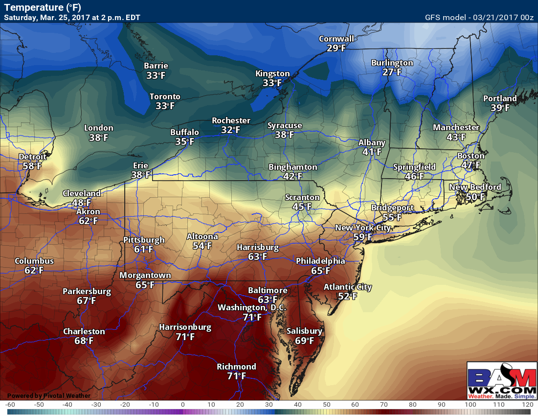
Today will be another warm day ahead of a cold front, getting well into the 50s across southern zones and into the upper 40s north. Projected high temperatures today.
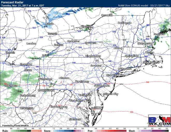
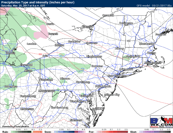
Don’t be fooled, though. Winter will return with a vengeance tonight into tomorrow as a cold front moves through. A few showers or rain and snow (mainly north) will accompany it. Projected radar overnight.
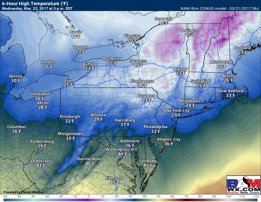
Tomorrow looks like a VERY cold day for this time of year, mainly in the 20s across the interior and 30s closer to the coast and I-70.
Thursday slowly moderates with some sunshine, then we look toward our next chance for precipitation (mainly rain) Friday into Saturday as a warm front pushes through parts of the region.
It will be a tale of two seasons with areas north of the front cloudy and into the 40s and 50s, while areas south of it see some sunshine and spike into the 60s and 70s. We will have to watch exactly where this sets up!
More storminess is possible later in the weekend into early next week as another storm approaches us from the west. Here’s the latest GFS model’s depiction. Stay tuned!
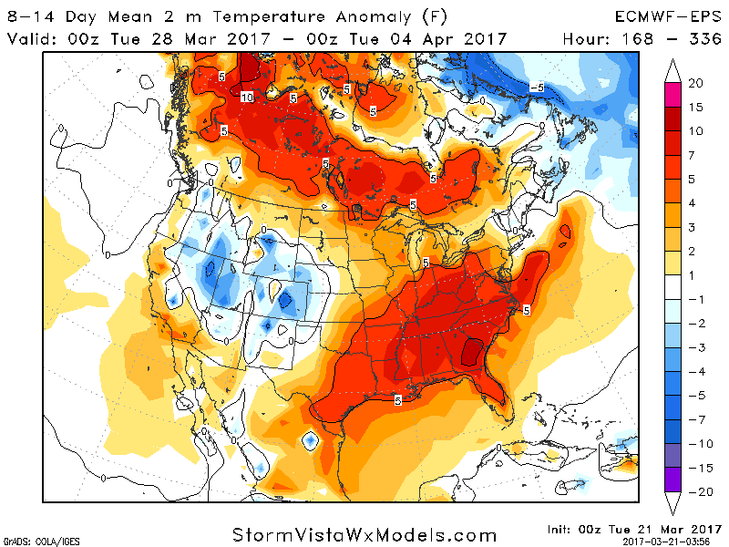
Warmth does look to make a run for us overall in week 2 as we see the pattern we have been dealing with finally break down. Here’s the latest week 2 (3/28-4/3) temperature departures from normal (note normal is right around 50 for a high, 32 for a low).
Confidence and Risks:
- High confidence in cold tomorrow but also a moderation toward this weekend.
- Moderate confidence in a warmer day Saturday, but location of the warm front will be key!
- Moderate confidence in a stormy end to the weekend into early next week.
The video (5 minutes long) covers it all! ~Ed