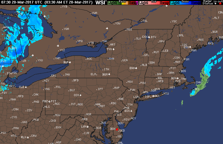
Good morning. A few rain and snow showers are pushing through western areas this morning, but the remainder of the region looks quiet and seasonably cold this morning. Here’s the latest radar as of 6 AM.
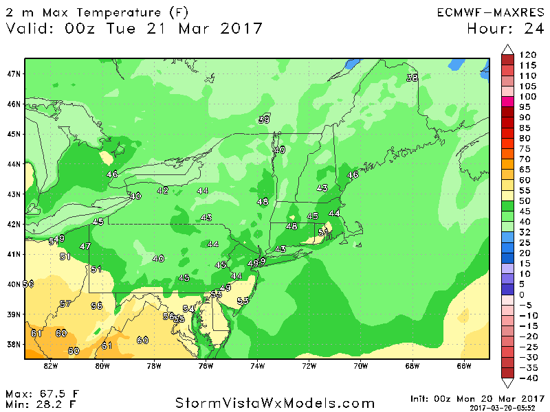
Today will be a largely dry day with temperatures reaching into the 40s and even a few 50s across the region ahead of a cold front. Here’s a look at temperatures today.
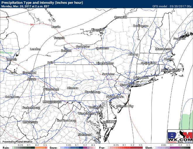
We are watching a weak warm front that will move through the region this evening and overnight with some rain across Ohio and Pennsylvania. They will mainly dissipate by sunrise across eastern areas, but a sprinkle or flurry can’t be ruled out through tomorrow morning.
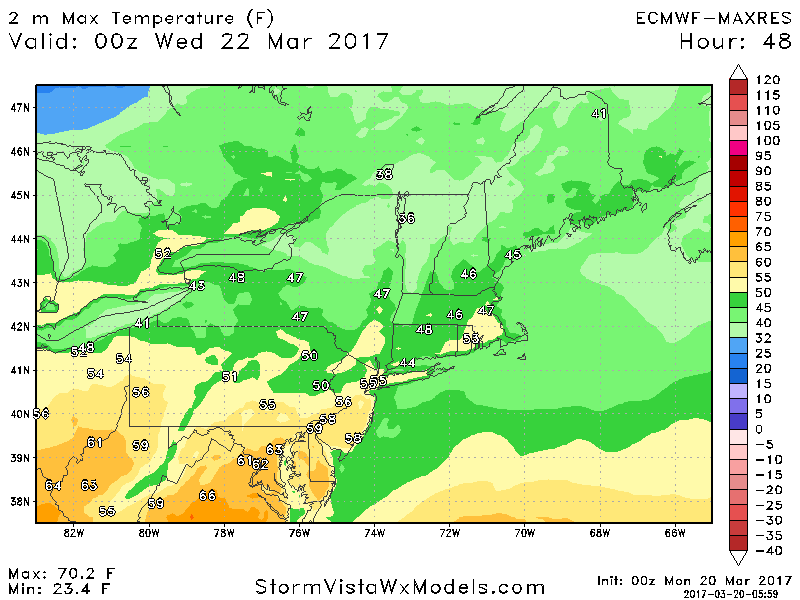
Temperatures tomorrow look even warmer than today – into the 50s and close to 60 for some!
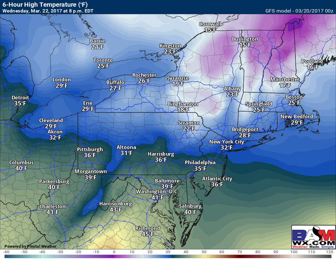
While I don’t see much in the way of precipitation through the end of the week, a strong cold front will usher in mid-winter-like conditions for Wednesday and Thursday with more cold air. Here’s a look at high temperatures Wednesday – only 20s and 30s!
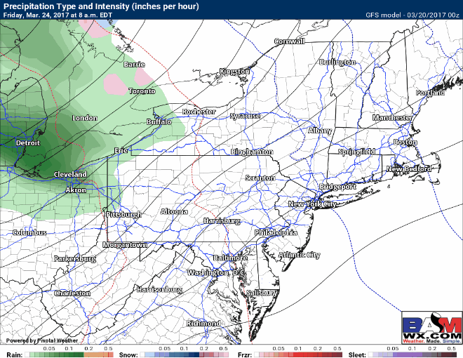
As of now, the end of the week into the weekend looks unsettled as another storm system approaches with rain or mixed precipitation. I’ll monitor this throughout the week.
Confidence and Risks:
- High confidence on warmer conditions early this week before more mid-winter-like cold midweek.
- High confidence on a period of showers tonight into early Tuesday, mainly focused west.
- Moderate confidence on more rain Friday into Saturday with recovering temperatures.
- Low to moderate confidence on timing and precipitation type later next weekend as a cold front moves through.
The video below breaks it all down. ~Ed