#PAwx #NYwx #CTwx #MAwx #RIwx #NJwx Severe Weather Possible This Afternoon! Detail Here. E.
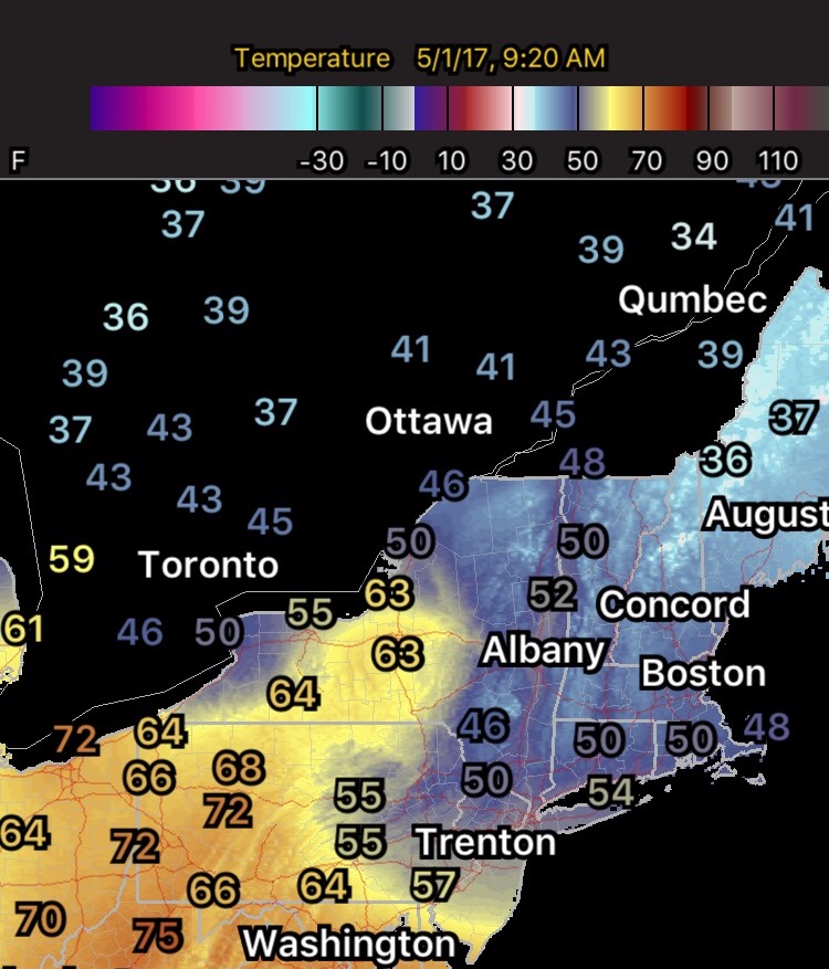
Good morning! We are tracking a backdoor front across New England, as well as a strong cold front moving through the eastern Ohio Valley. Here’s a look at temperatures as of 9:20 AM.
The big story today will be the threat for severe weather across much of eastern Ohio, Pennsylvania, and the Mid-Atlantic. Here’s the latest SPC outlook.

Here’s an idea as to the radar this afternoon and evening. More information about this threat will be in the video!
Cooler air follows this cold front for the middle of the week. Along with this, a few showers will be around across the interior.
Temperatures over the next 10 days likely stay below normal. Here’s a look nat the European ensemble through day 10.
In addition to the chill, a large rainstorm is in the cards for the end of the week. Friday looks like a total wash out right now.
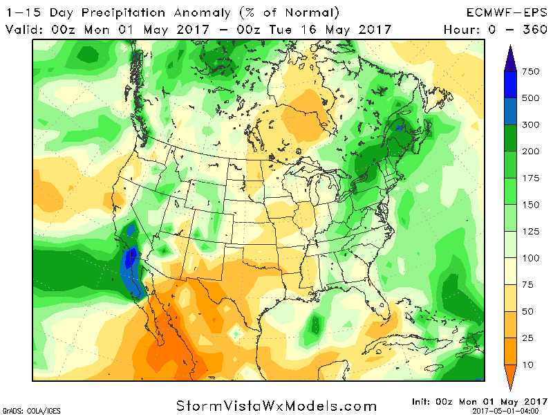
With this system, the 2 week rainfall compared to normal will run above normal across the region.
Confidence and Risks:
- Above average confidence in severe weather this afternoon and evening. The highest risk is across Ohio and PA.
- Above average confidence in cooler than normal conditions returning to the region for at least the next 10 days.
- Increasing confidence on above normal rainfall over the next 2 weeks including a very wet day Friday.
Today’s Video (5 minutes):