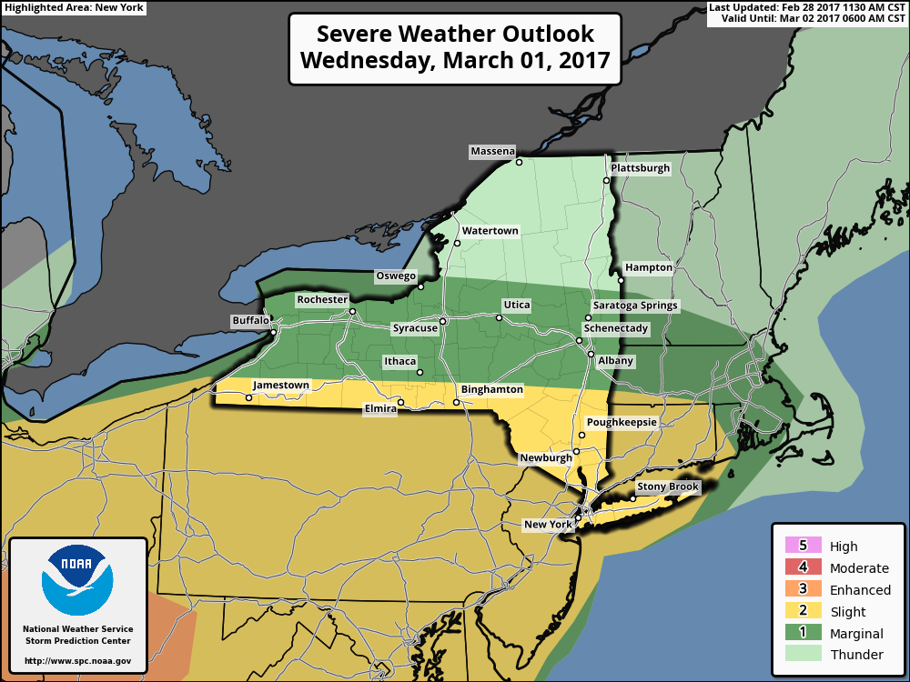
Good afternoon. We are monitoring a potential severe weather outbreak across the eastern Ohio Valley and Mid-Atlantic early tomorrow morning west to late tomorrow afternoon east. Here’s the latest SPC outlook, updated at 2 PM. Notice it now extends into Connecticut and Massachusetts.
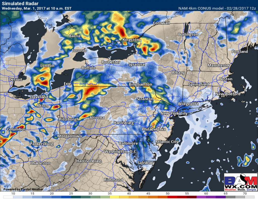
There are some risks to this forecast as during the morning hours, some showers and storms will move across PA. This may inhibit severe weather pending the timing of these showers and how fast they move off to the east.
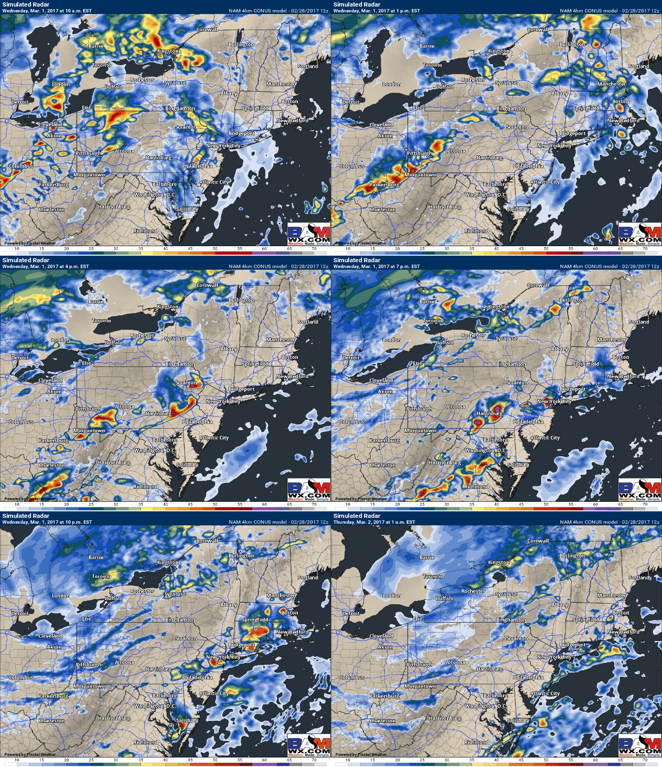
Most guidance does get the showers out of the region by 12-2pm, allowing some sunshine to peek through ahead of the cold front. *IF* this happens, the atmosphere can destabilize and severe weather will be a legitimate threat. By the later afternoon, the 4km NAM sparks a line of strong thunderstorms across PA and moves them toward NYC and NJ in the evening. They will reach southern New England late in the evening.
Main threats with these storms will be the following:
- Damaging winds in excess of 60 mph
- Large hail
- An isolated tornado
- Flash flooding
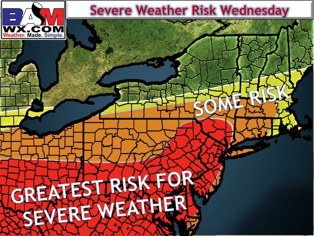
Here’s my best guess as to where the highest threat of severe weather will be with this system.
Timing and details regarding specific ingredients for this event will be covered in the video below!
Biggest Risk to the forecast remains *how fast the morning showers and clouds move out of the region*. If it is slower, the severe threat in eastern areas is lower. If the showers move out faster, the threat remains fairly potent.


