Synopsis: Good Wednesday afternoon! Scattered storms are increasing across Illinois along a warm front associated with a storm system moving across the central Plains. This update takes a look at the severe storm risk targeting western Illinois this afternoon and evening, along with the strong storm threat shifting further to the east on Thursday as a cold front moves through the region. Detailed analysis on timing, coverage, and rainfall amounts in the video. Let us know if you have any questions, have a great afternoon!
Short-term video (8 min):
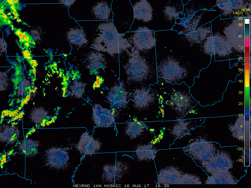
Current radar (loop ends at 1:05 PM EDT):
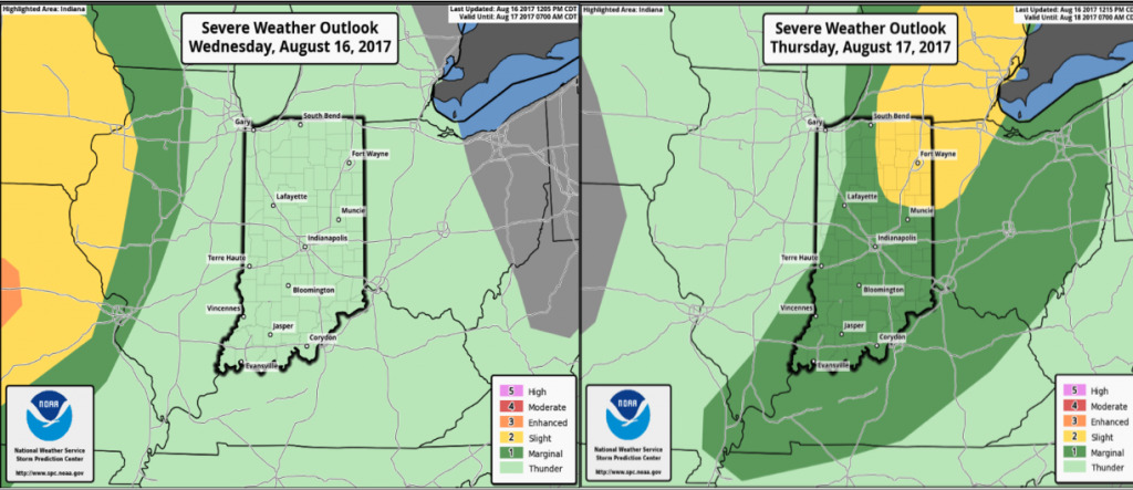
Updated severe storm outlooks for today and Thursday are shown below. Watching western Illinois for increasing severe potential mid-late afternoon going through the evening. Damaging winds and large hail are the main threats, but an isolated tornado cannot be ruled out. Storms will weaken with eastward progression tonight, hence the marginal risk further east into central Illinois, and no severe risks for the rest of the area. On Thursday, the severe threat shifts to Indiana, Ohio, and Kentucky. The area across northeast Indiana, northwest Ohio, and southeast Michigan have been upgraded to a slight risk. Damaging winds the biggest threat.