***Hope you’re having a great week! As a reminder, you will receive all of our products via email, just make sure you’re looking at the right forecast locally; remember, the advantage of having a team of meteorologists at your fingertips can be priceless. With our service you will have access to our team of meteorologists 24/7. Also, make sure to watch the videos in their entirety to get a true sense of the information we provide and how it can be of value to you.
At anytime this week you feel like you have seen enough to make a decision and you’re ready to sign up we will offer you a 20% off discount if you sign up BEFORE your trial expires August 11th. Please do not hesitate to reach out to us at anytime if you have any questions. Have a blessed week! -BAM staff.***
Good Wednesday afternoon! It is another spectacular day of weather with lots of sunshine and comfortable temperatures. Changes will start to work in Thursday and Friday as a front moves into the region, bringing shower/storm chances. Not looking at anything overly widespread, but be sure to watch the video below for detailed analysis regarding where the best chances set-up, timing, and rainfall potential.
Short-term video (6:48):
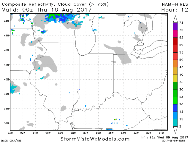
Dry weather continues for the rest of the afternoon. Small rain chance creeps in late tonight across southeast Kentucky as more moisture starts to lift northward, building into Ohio on Thursday. Another area to watch will be western/northwest Illinois as a cold front moves in later in the day, sparking scattered showers and storms. Much of Indiana looks to stay dry on Thursday. This front will slowly work southeast across the area through Friday, keeping additional chances for widely scattered storms. Below is an animation of the hi-res NAM going from tonight into Friday afternoon.
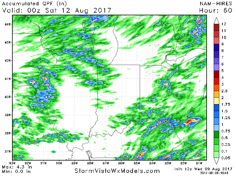
Regarding rainfall, not looking at anything too widespread over the next couple of days as some areas will remain dry. Areas that get under t’storm action can pick up local 0.5″-1″+ amounts.