Good Wednesday afternoon! It is another spectacular day of weather with lots of sunshine and comfortable temperatures. Changes will start to work in Thursday and Friday as a front moves into the region, bringing shower/storm chances. Not looking at anything overly widespread, but be sure to watch the video below for detailed analysis regarding where the best chances set-up, timing, and rainfall potential.
Short-term video (6:48):
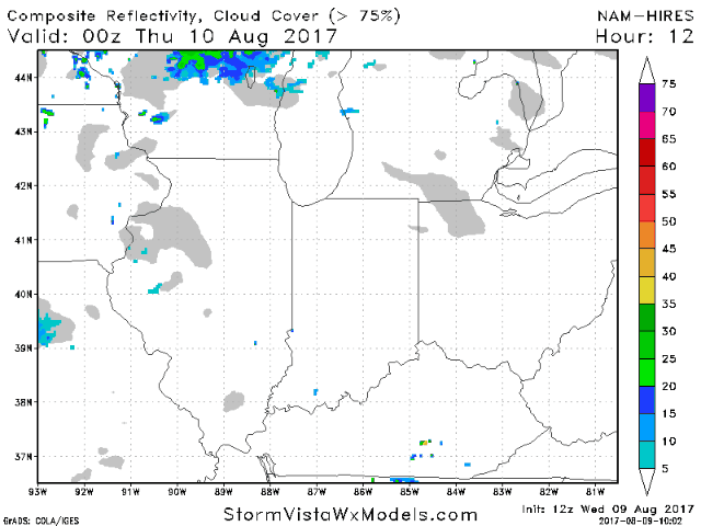
Dry weather continues for the rest of the afternoon. Small rain chance creeps in late tonight across southeast Kentucky as more moisture starts to lift northward, building into Ohio on Thursday. Another area to watch will be western/northwest Illinois as a cold front moves in later in the day, sparking scattered showers and storms. Much of Indiana looks to stay dry on Thursday. This front will slowly work southeast across the area through Friday, keeping additional chances for widely scattered storms. Below is an animation of the hi-res NAM going from tonight into Friday afternoon.
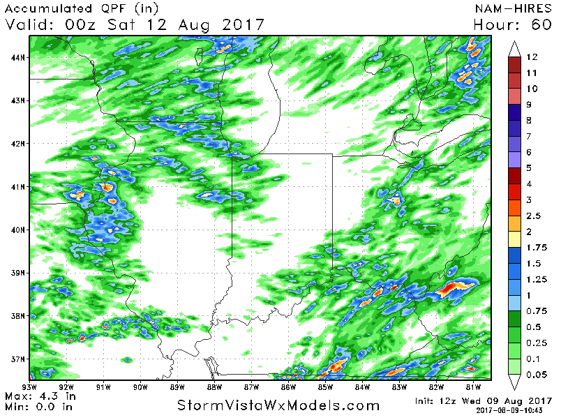
Regarding rainfall, not looking at anything too widespread over the next couple of days as some areas will remain dry. Areas that get under t’storm action can pick up local 0.5″-1″+ amounts.