Key Points – Monday, August 14, 2017:
Synopsis: Good Monday morning! We start seeing a warming trend this week throughout the Ohio Valley seeing more “normal” temperatures for mid-August…also so precipitation chances increase into mid-week as well along a cold front moving west to east…a few gusty storms will be possible along the boundary as well that will need watching. All the details in the video, if you have any questions please let us know…have a blessed week!
Today’s video (5 min):
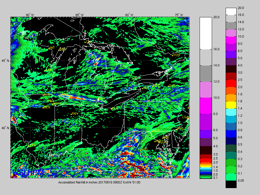
Thoughts on rainfall over the next 2 days…will be very isolated to scattered in nature, do think ~0.5-1″ is on the table mainly north of I-70, but many stay dry. Across the southern tier of the Ohio Valley ~0.25-0.5″ will be possible and showers work east Northeast today.
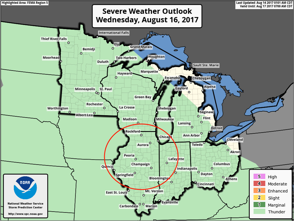
Think later Wednesday into Thursday morning we need to watch this area for an upgrade to a marginal to slight risk for strong storms…will keep close eyes on this as we progress forward this week:
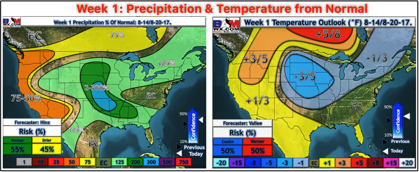
Week 1 precipitation and temperatures from normal outlooks updated this morning:
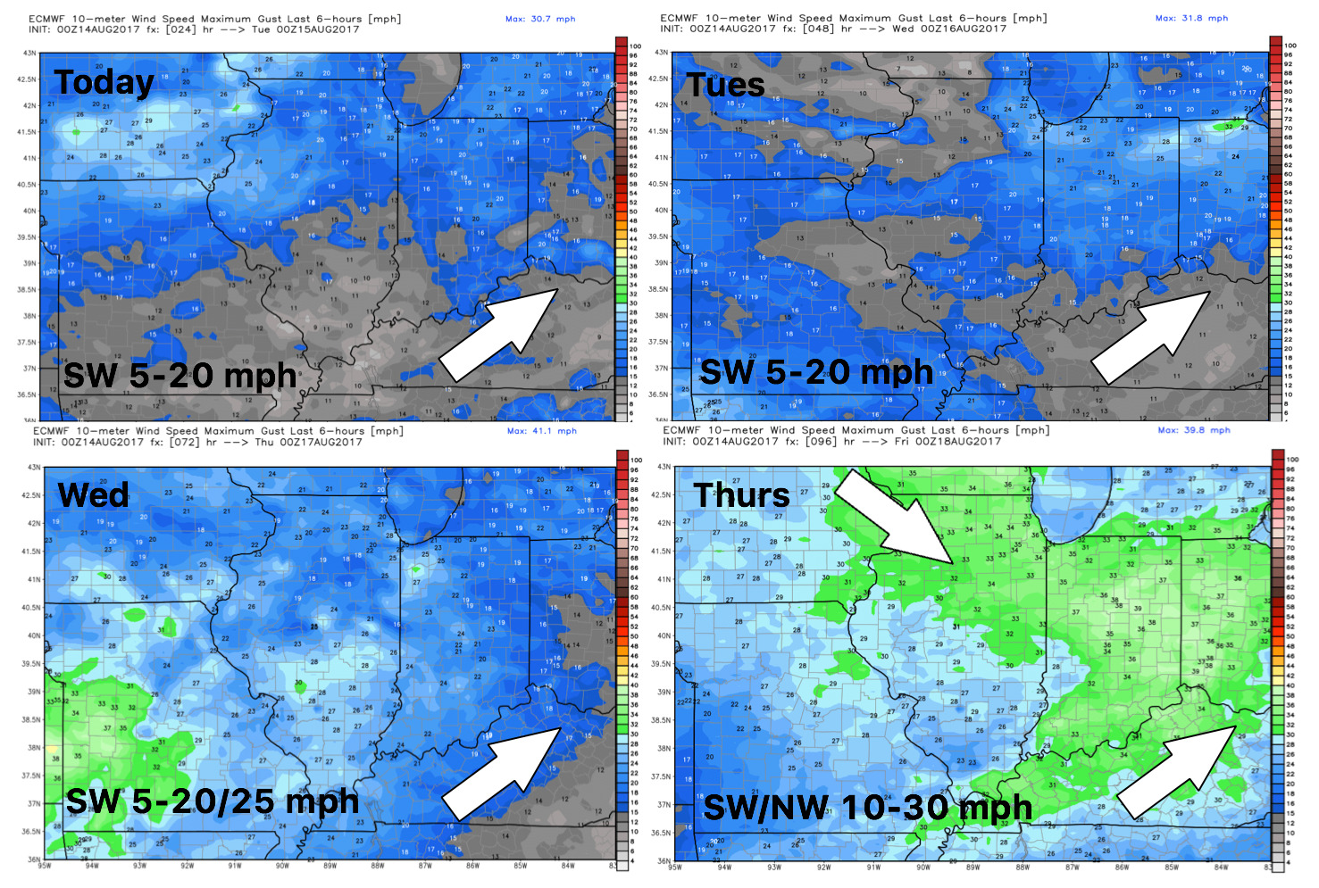
Wind forecast guidance over the next 4 days…get gusting on Thursday as the cold front works east:
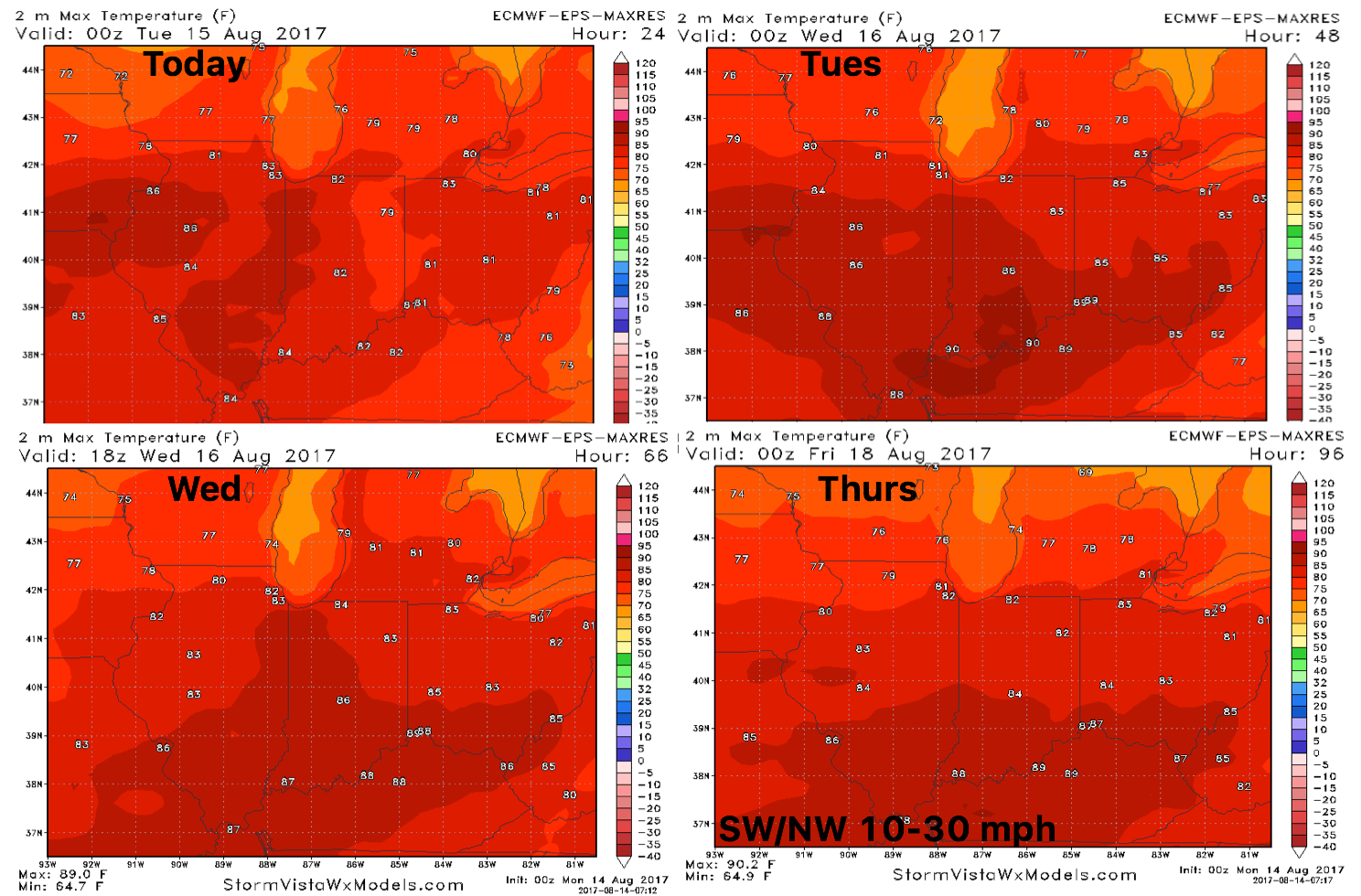
High temperature guidance into mid-week shows the steady incline of temps getting on a southwest wind feeling more “seasonal” for August:
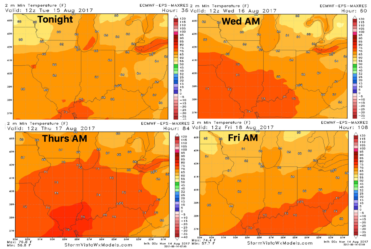
Overnight lows will be elevated this week as well:
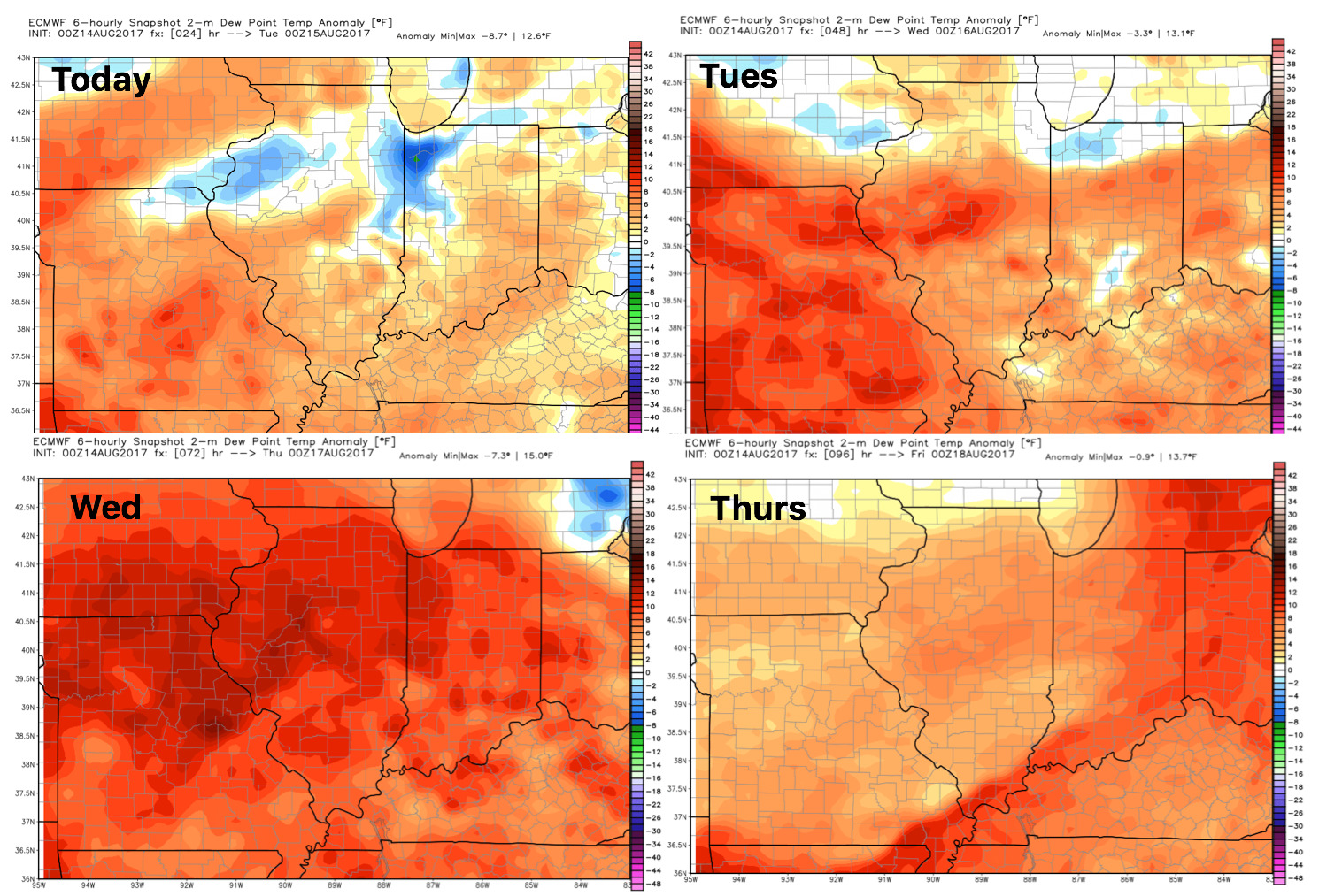
Dew points from normal show that it’ll overall be a fairly humid week: