#NYwx #CTwx #MAwx #RIwx #PAwx #NJwx Eyeing Mother’s Day Storm. Details Here! E.
Key Points: May 9, 2017
Synopsis: Good Tuesday morning! Quick forecast update for the day today highlights a few spotty showers continuing along with cool conditions. Temperatures this week will remain below average with most areas stuck in the 50s and 60s. Our next big threat for rain comes Saturday and Sunday as we track a coastal low pressure system. Overall, though, a warming trend is possible into next week and beyond as more semi-permanent ridging sets up across the East. Have a great day!
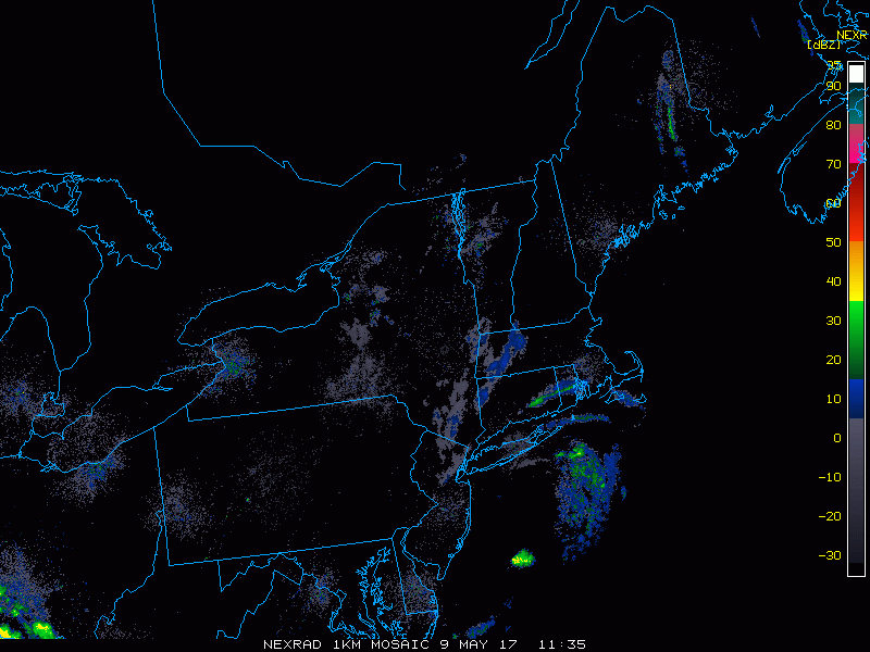
Current radar shows a few showers across southeastern New England.
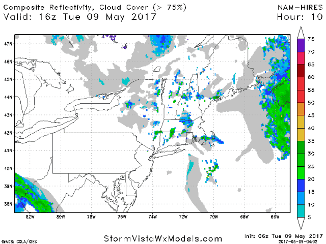
The next two days continue the trend of late with unsettled conditions continuing. Even with a few showers around, it doesn’t look like a washout this week!
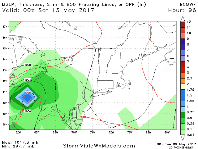
Our next threat for rain unfortunately comes Mother’s Day weekend. Here’s the latest European model. I’ll touch on this more in the video.
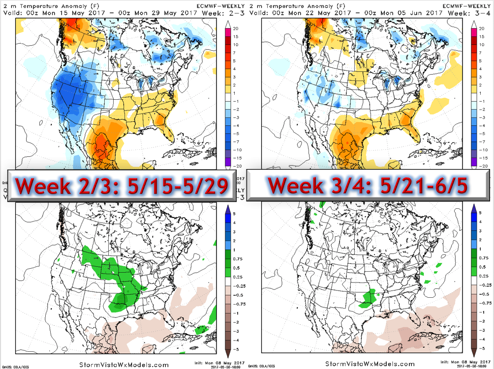
A warmer pattern does appear to develop per the latest Euro weeklies. Here’s a look at weeks 2-4. Notice warmth returns mid-month and we remain variable through the remainder of the month.
Today’s video (5 minutes) covers the details of the forecast!