Northern Plains Update: Some Storms Today, Cooler and Drier Into Next Week. E.
Key Points: September 1, 2017
Synopsis: Good Friday morning! We continue to watch showers moving through the Dakotas this morning. Additional storms will erupt this afternoon across North Dakota, some of which can be gusty with some heavy rain. The SPC has issued a marginal risk for this region for that very reason. Beyond this, very hot conditions are expected in the Dakotas this weekend ahead of a cold front. That cold front will blast through the region early next week bringing some Fall-like conditions through the middle of next week with patchy frost still expected in Minnesota and Wisconsin. Temperatures likely rebound by next weekend back to seasonable levels. Have a blessed day and weekend!
Today’s Video (4 min):
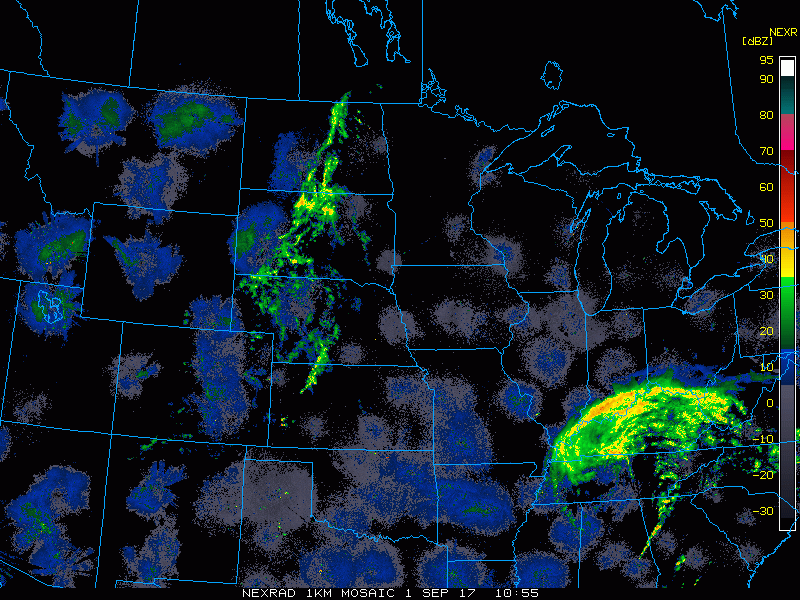
Current radar shows the showers across the Dakotas this morning.
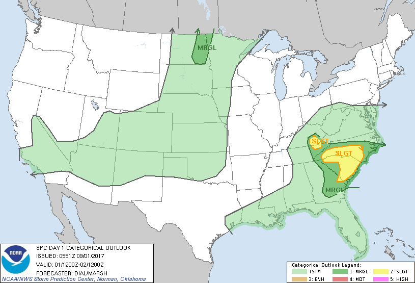
The SPC has outlined portions of North Dakota for severe weather this afternoon and evening.
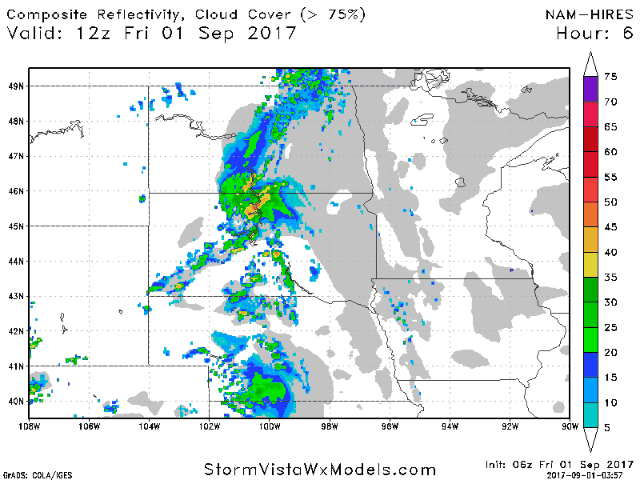
Projected radar into Saturday.
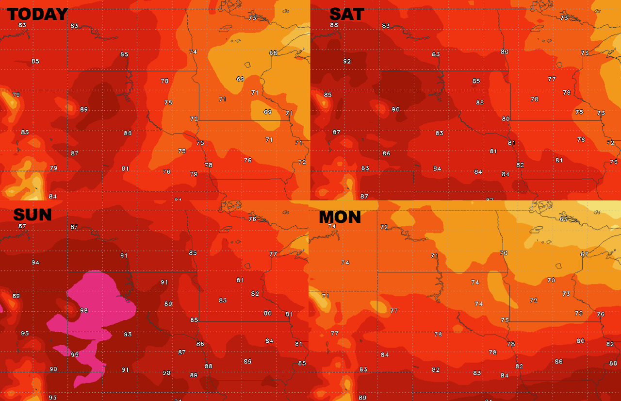
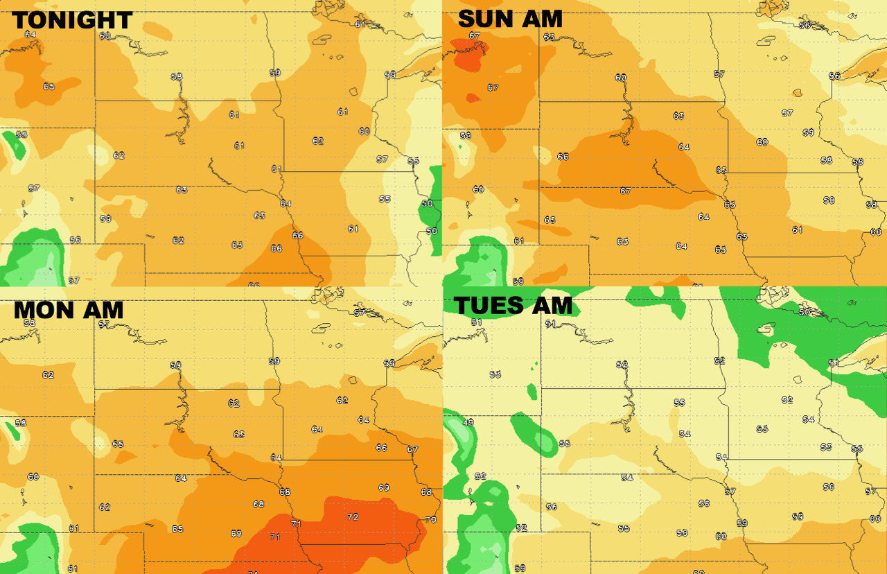
High temperatures next 4 days show building heat west.
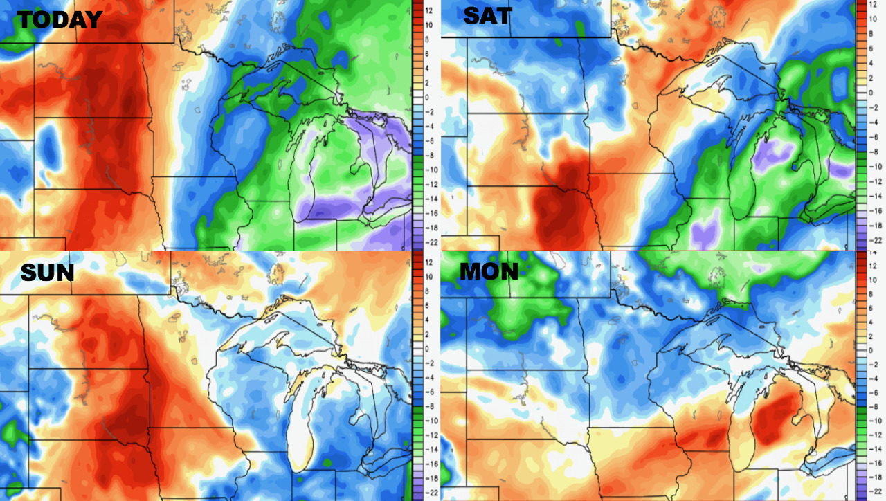
Low temperatures next 4 days.
Humidity looks higher than normal through the weekend, dropping behind the front early next week.
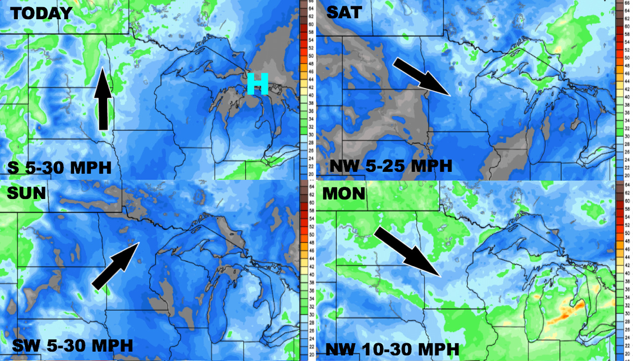
Wind forecast next 4 days.
Total precipitation over the next 10 days.
