Key Points: September 28, 2017
Synopsis: Good Thursday morning! Another quiet, chilly morning this morning across the region. High pressure will push east today with a weak cold front moving through Minnesota and Wisconsin this afternoon. This will bring a few showers to these areas, but coverage and precipitation amounts will be low. A bigger storm system approaches Saturday into Sunday with rain and storms. Still watching for some severe weather Sunday into Sunday night which is covered in the video. A temperature battle zone will set up across the region next week with a continued risk for above normal rains for early October. Have a blessed day!
Today’s Video (5 min):
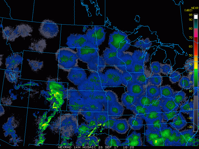
Current radar scanning clear this morning but we note the front approaching North Dakota.
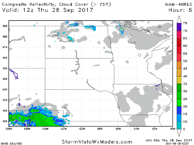
A weak front moves through with some showers this afternoon east. Projected radar is below.
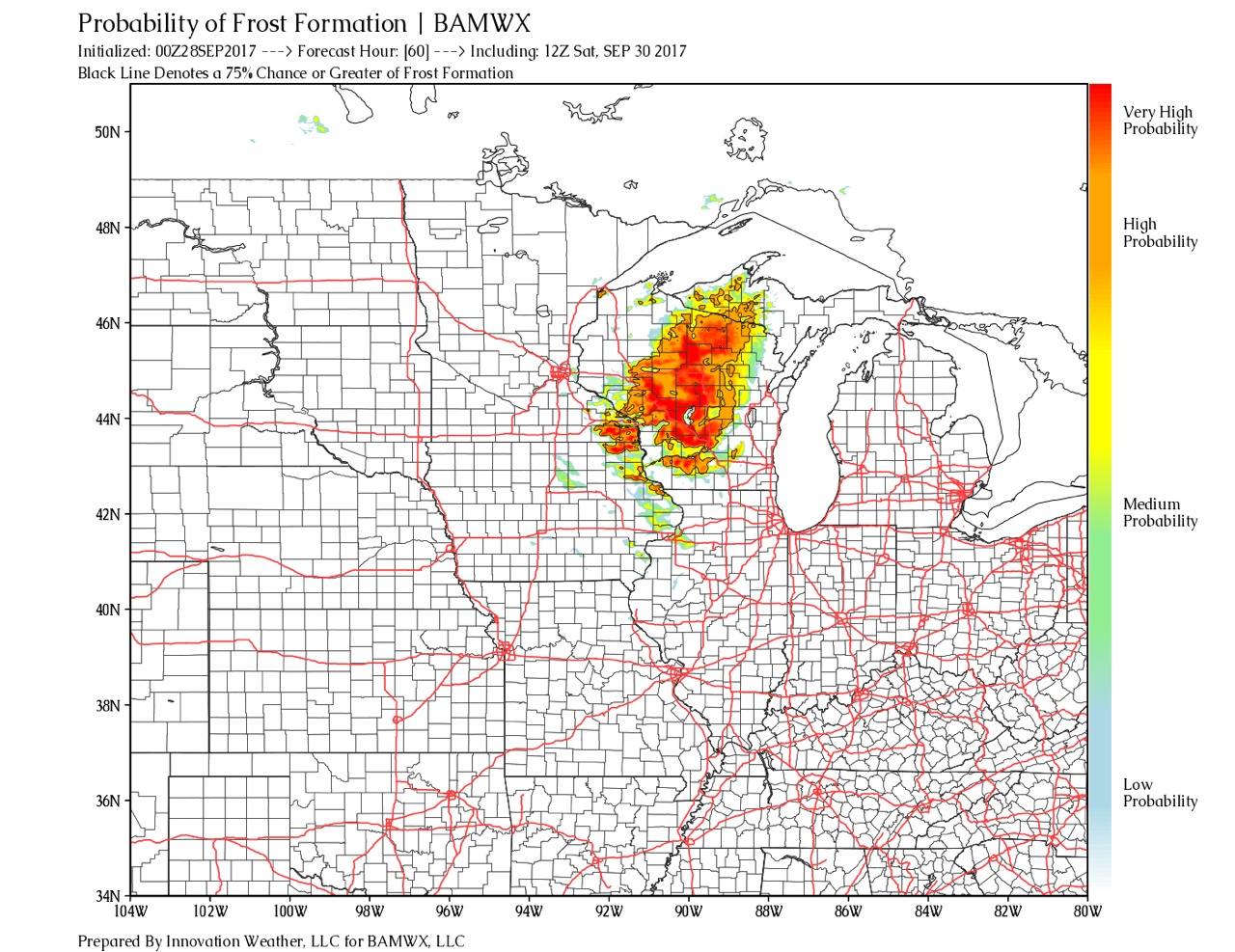
Spotty frost is possible Saturday morning in Wisconsin and southeast Minnesota. Probability of frost is shown below.
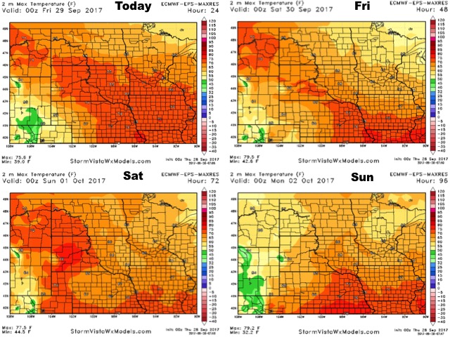
High temperatures next 4 days are below.
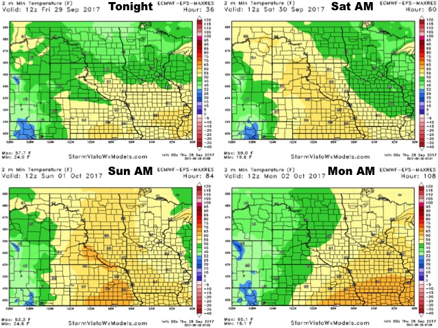
Low temperatures through Sunday shown below.
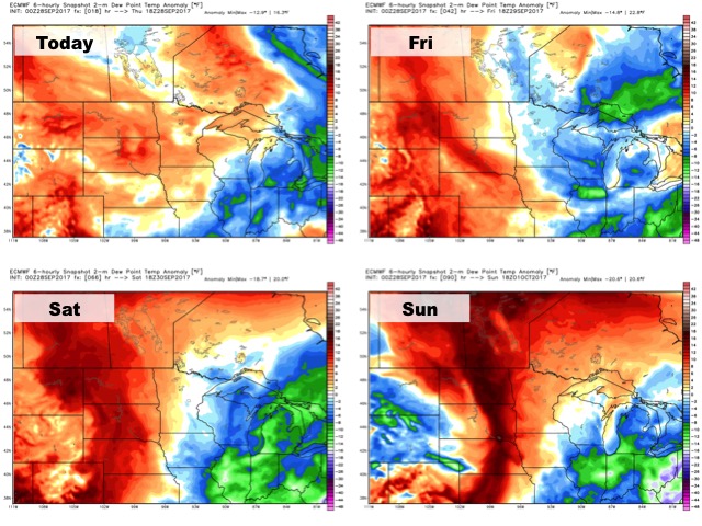
Humidity will remain above average for this time of the year through the weekend.
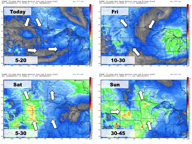
Winds over the next four days is shown below.
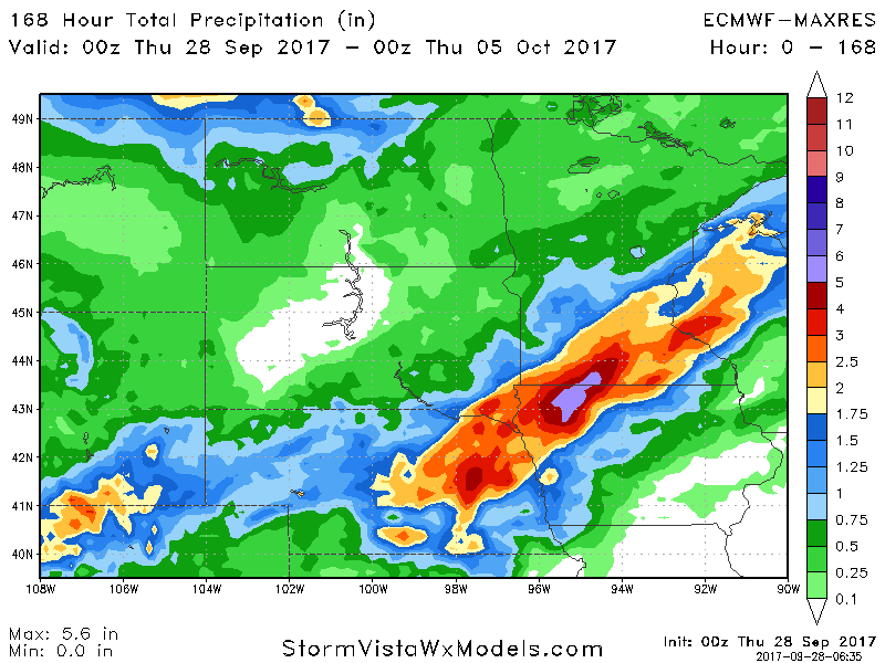
Total rainfall through next week.