Northern Plains Update: Dry Week Ahead, Frost Risk Tonight. E.
Key Points: September 5, 2017
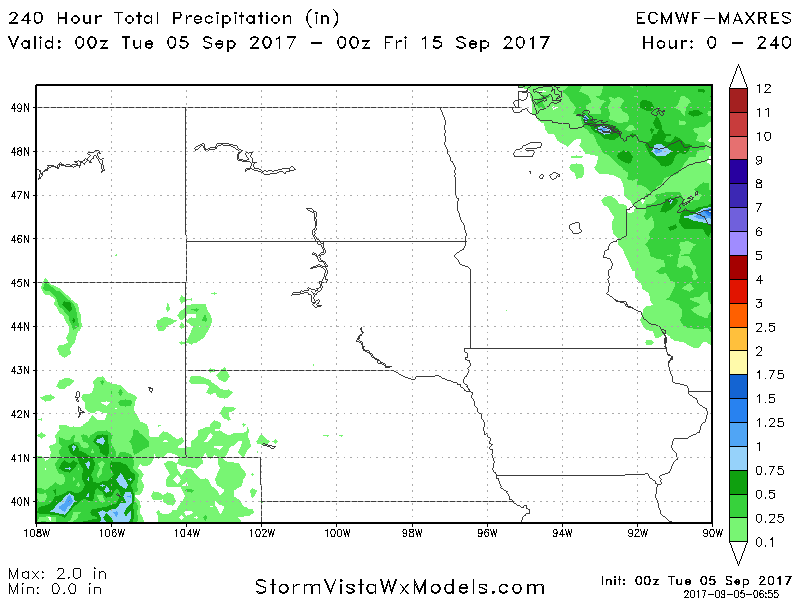
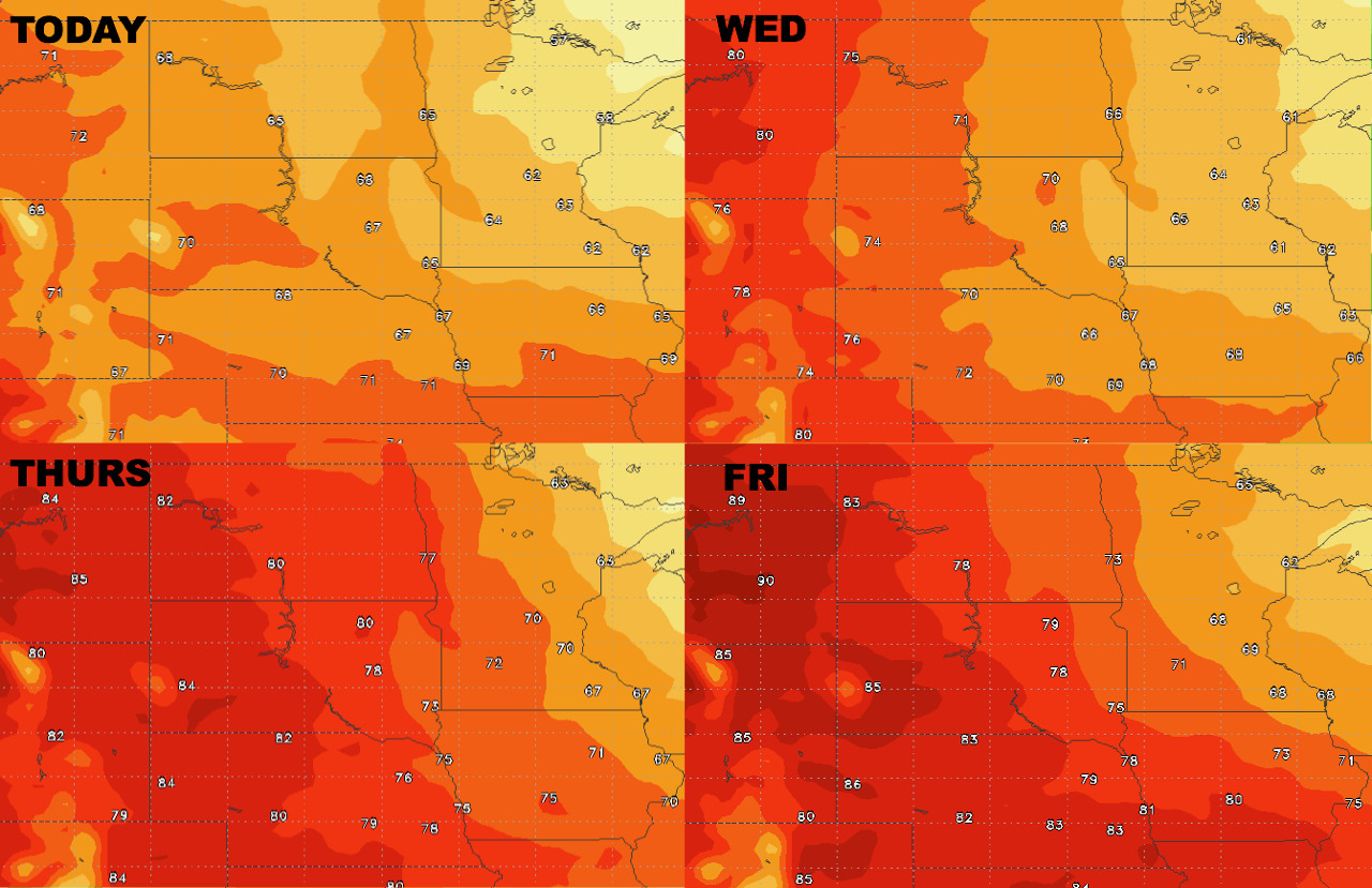
Synopsis: Good Tuesday morning! Overall a quiet weather pattern has taken hold across the region behind a cold front. This will lead to a cooler day today with temperatures in the 60s region wide. A frost risk is there tonight especially across Minnesota and Wisconsin thanks to high pressure bringing good radiational cooling conditions. See the video for more information on where this can be. Otherwise, a warming trend is expected toward the end of the week and into the weekend as the coolest air continues to push eastward. Total rainfall looks close to zero over the next 10 days due to high pressure remaining in control. Have a blessed day!
Today’s Video (5 min):
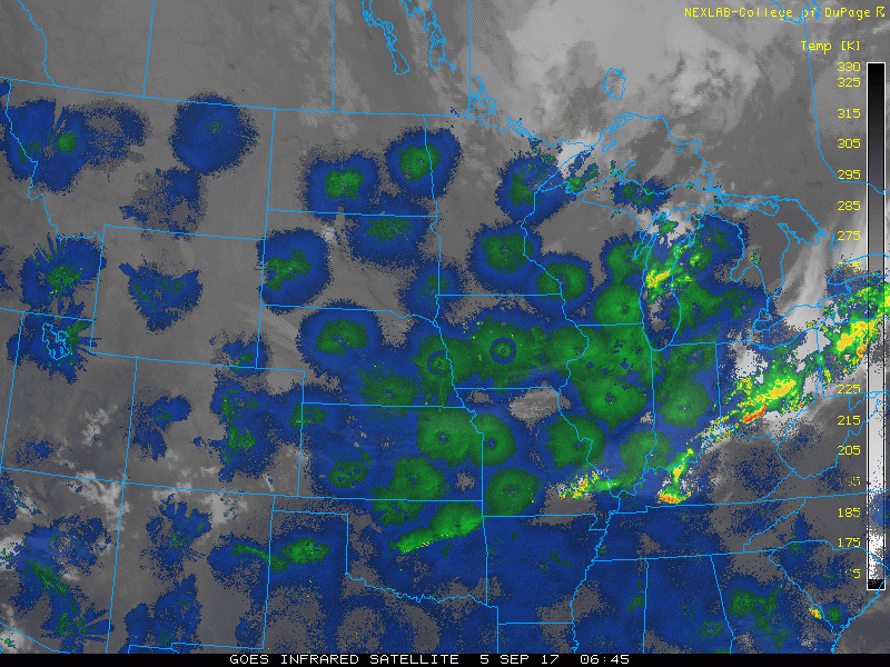
Current radar and satellite are scanning clear this morning.
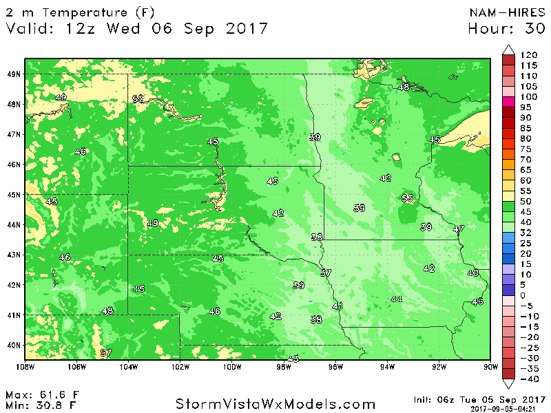
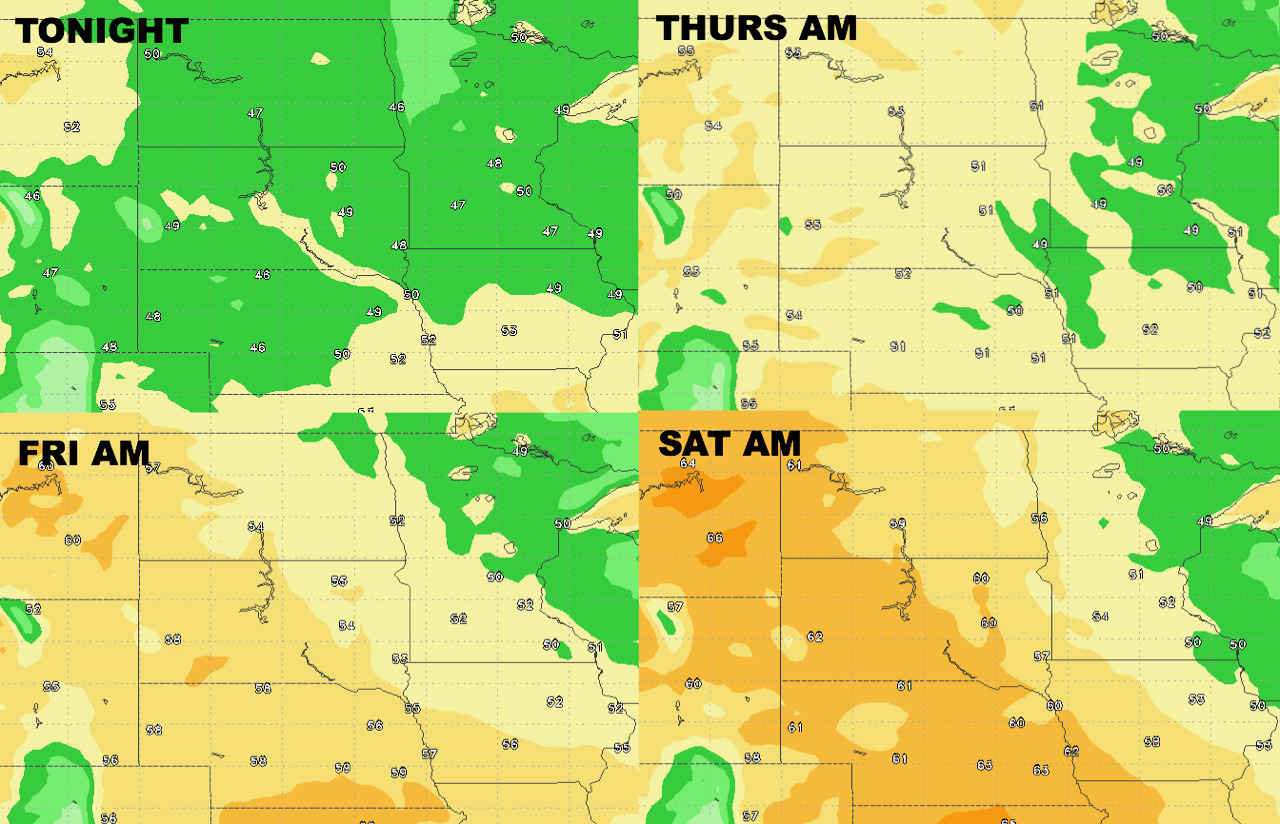
Frost risk tonight in parts of the region. Here’s a look at overnight temperatures across the region.
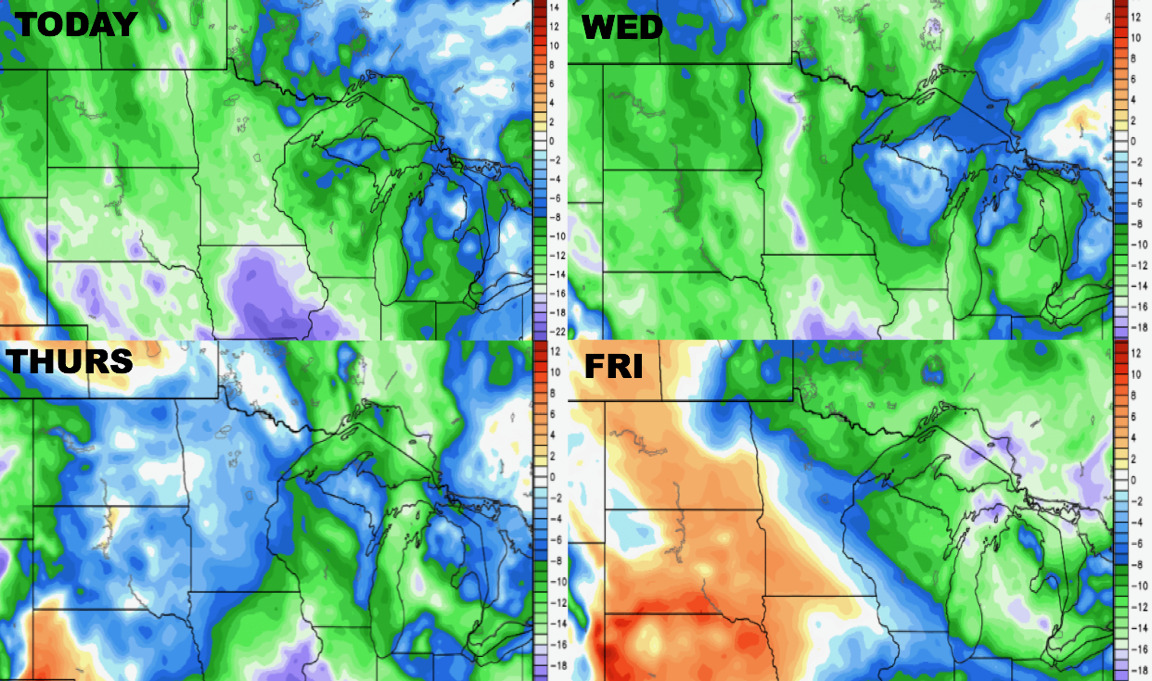
High temperatures next 4 days.
Low temperatures next 4 days.
Humidity looks below normal this week, trending above normal by Friday west.
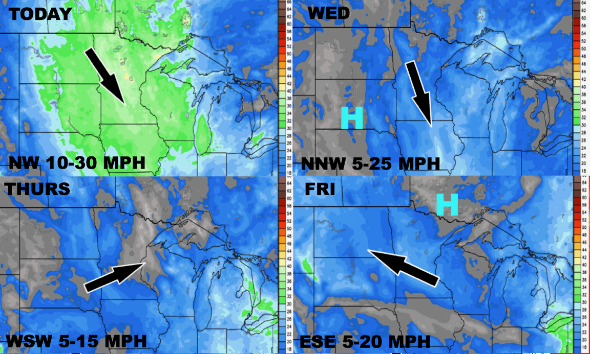
Wind forecast through the end of the week- gusty today!
Total precipitation is nearly zero through the next 10 days.