Northern Plains Update: Active Next Few Days, Remaining Cool Through Late Week. E.
Key Points: August 14, 2017
Synopsis: Good Monday morning! Radar shows our weekend rainmaker exiting Minnesota into Wisconsin this morning, leading to what should be a fairly nice afternoon. We are watching for multiple disturbances to move through the region bringing rainfall chances through the middle of the week. Beyond this, a moderation toward normal or even slightly above normal is expected in week 2. This, however, still will likely come with periodic rainfall chances. Have a blessed day!
Today’s Video (6 min):
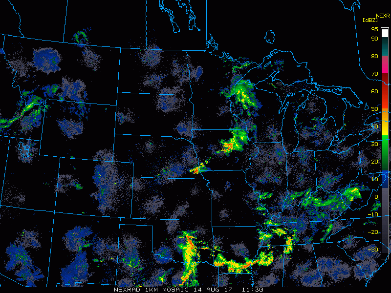
Current radar:
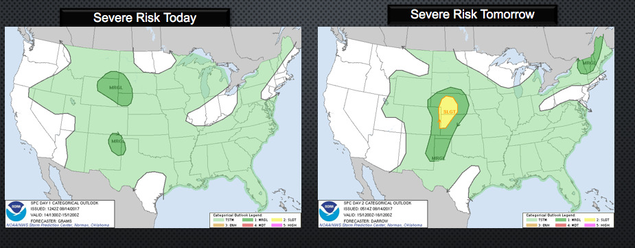
There is a chance for some severe weather this evening in SW SD, then across all of southern SD tomorrow.
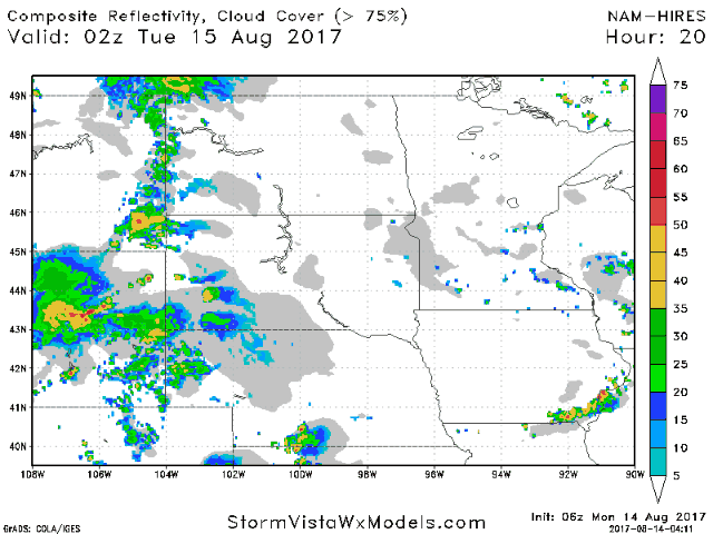
Projected radar into Wednesday is below.
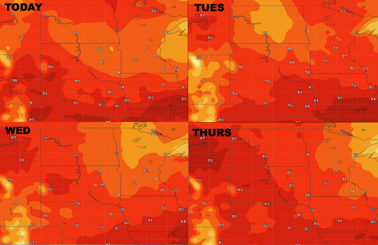
 Highs the next 4 days.
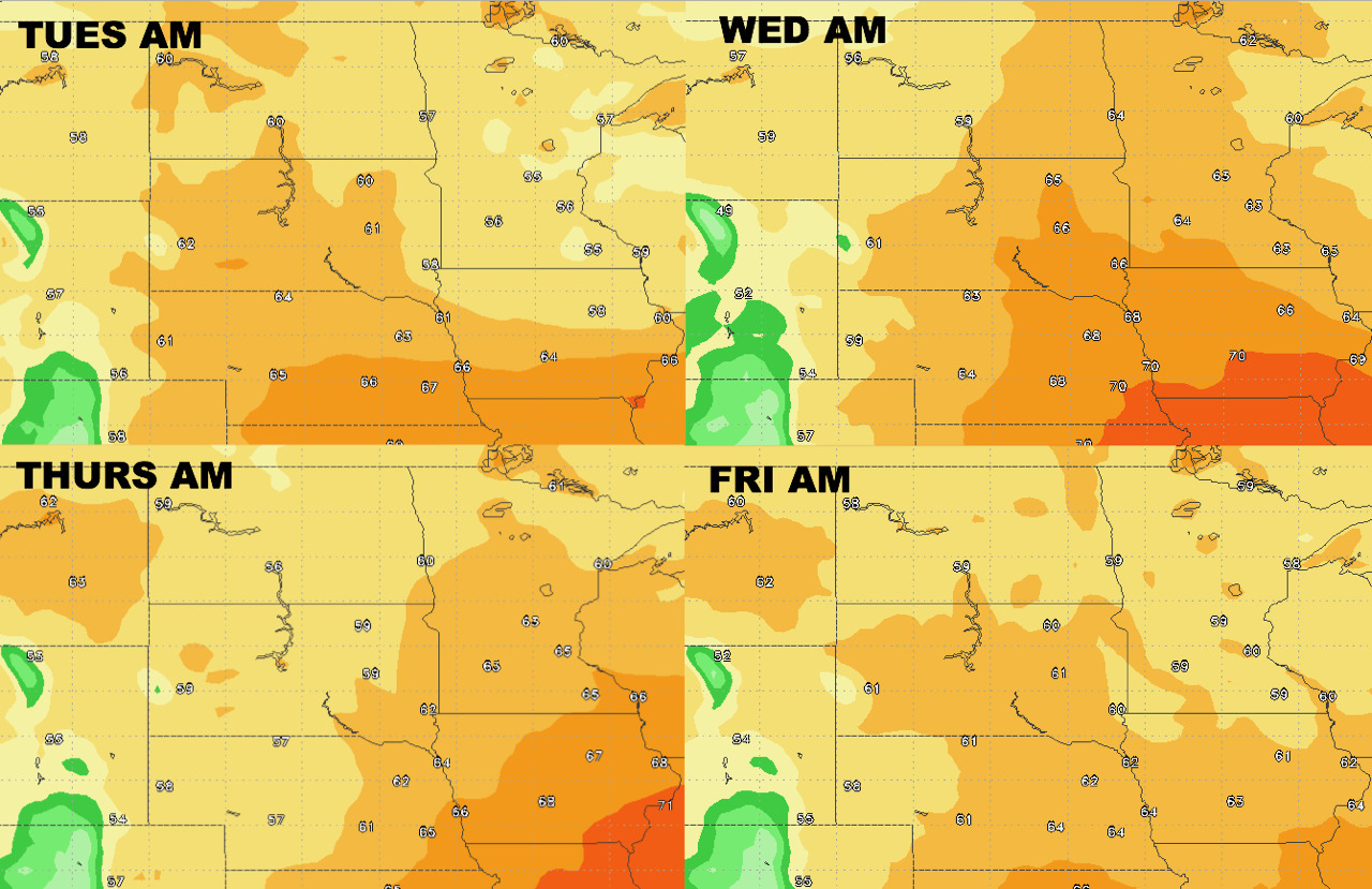
Lows the next 4 days.
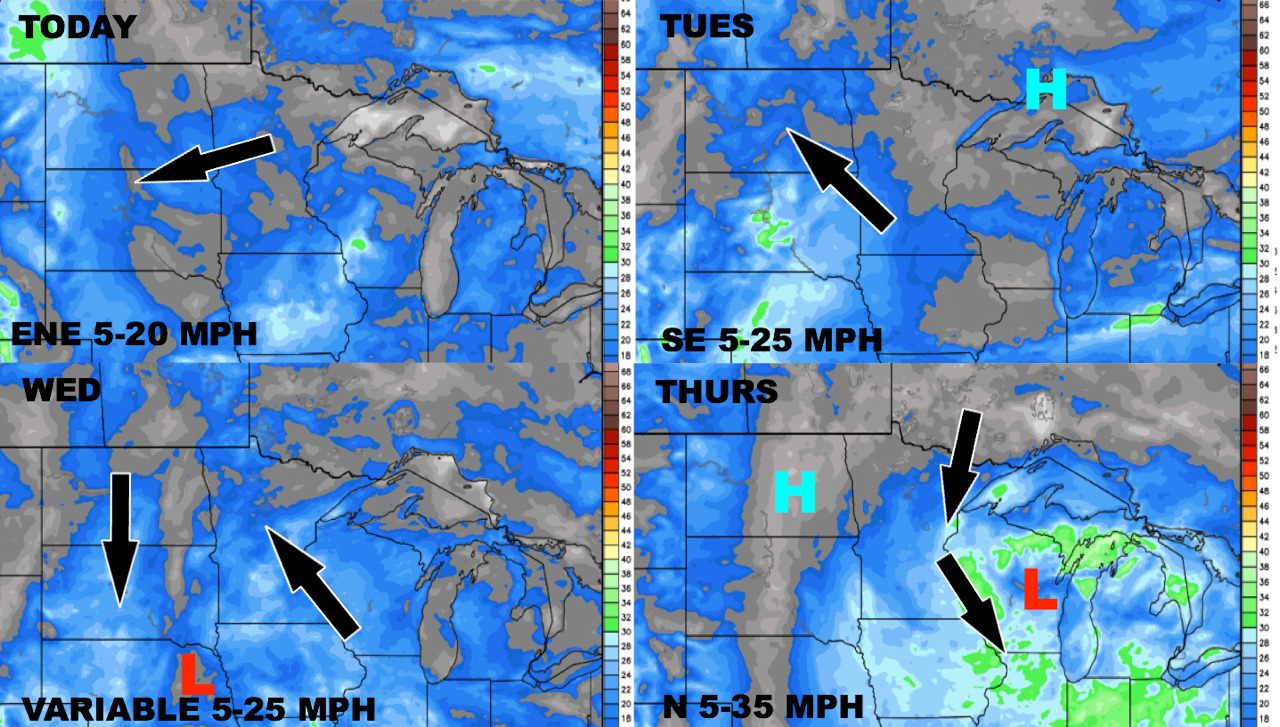
Wind forecast through Thursday.
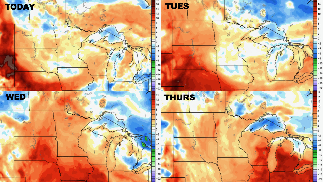
Humidity looks to remain high through late week as warmth builds. Dew points vs. normal are below.
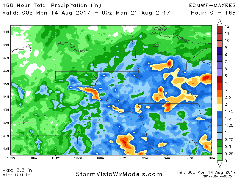
Total rainfall through early next week is below.