Key Points – Friday, June 30, 2017:
Synopsis: Good Friday morning! High pressure will be in control on Saturday (very nice as the front passes today) along with warmth increasing into late weekend/early next week…however, first we need to get through additional storms, some being strong to the east and south here today into tonight. Next chance for storms comes in Sunday afternoon into the evening, we think some of these storms could be strong to severe as well…following close after that is Monday night into Tuesday morning we are watching for another storm cluster to move through. If you have any questions please let us know, have a blessed weekend!
Current Radar:
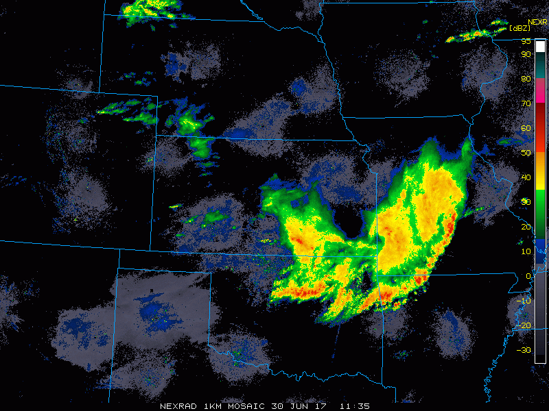
Simulated radar guidance today shows the focus of the storms will shift south and east into tonight.
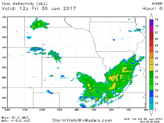
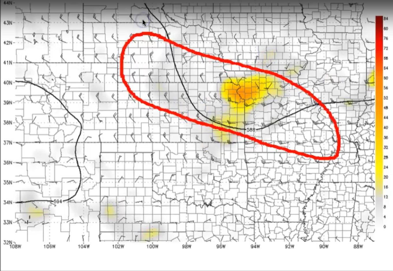
Overall we generally agree with where the strong storm threat will be possible today, mainly across parts of southeastern Missouri for gusty winds, isolated large hail and localized heavy rainfall.
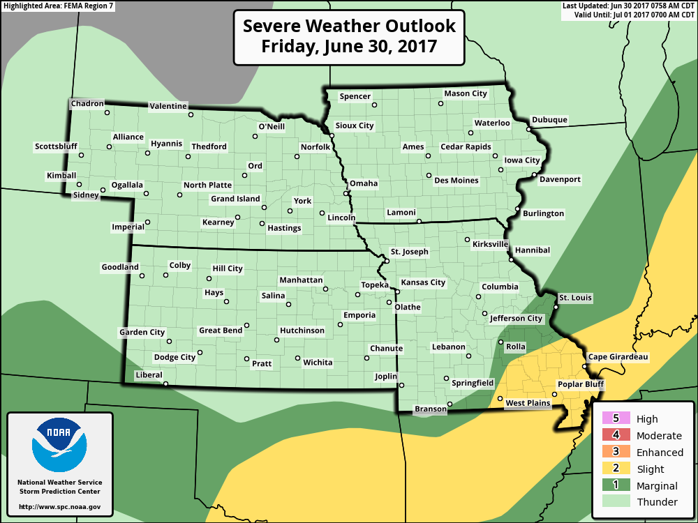
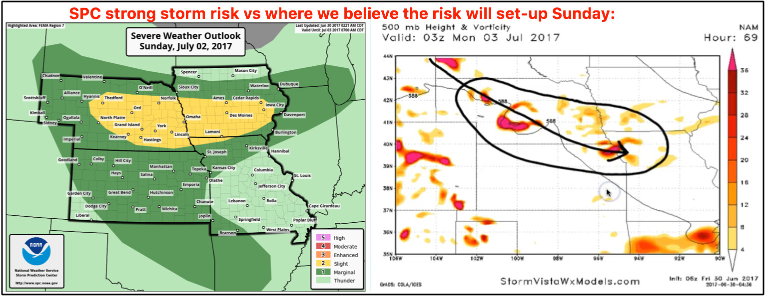
Like we mentioned in the synopsis, Saturday will be a nice day under high pressure, it’s Sunday afternoon into the evening where we are watching for additional storms, some being strong to severe start to increase in coverage across the central Plains.
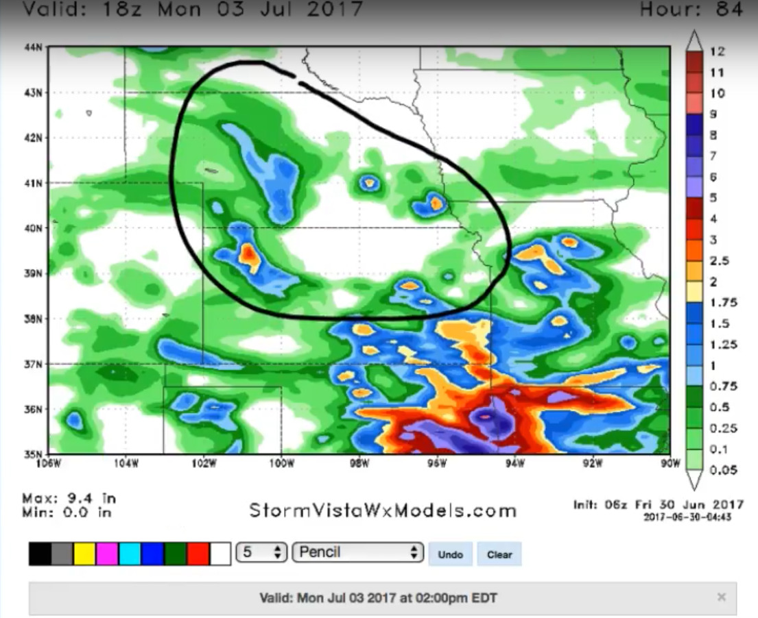
This is a look at the latest precipitation totals guidance through the next 4 days…isolated amounts of 1-3″ will be possible, we also believe the model is underdoing rainfall totals across parts of Nebraska, Kansas, southwest Iowa and northwest Missouri where additional rainfall will be possible into early next week.
It’s Monday night into Tuesday morning we are watching for a potential storm cluster to move through this area as we start getting in on more “northwest flow”…these MCS (mesoscale convective system) events thrive on northwest flow-like patterns into the central Plains eastward into the Midwest.
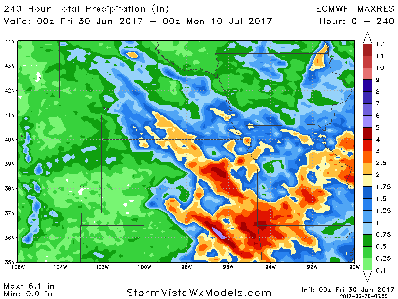
Rainfall totals over the next 10 days from the European guidance…some locations get in on 1-3″, while others miss out and see little to no rainfall…have’s and have-nots pattern continues over the next 10 days.
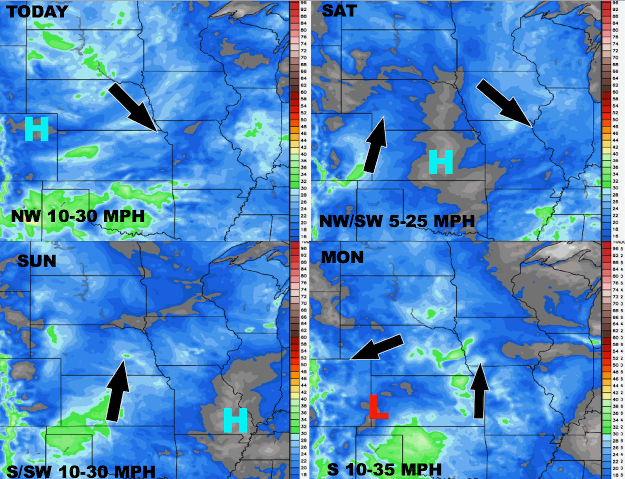
Latest wind forecast through early next week:
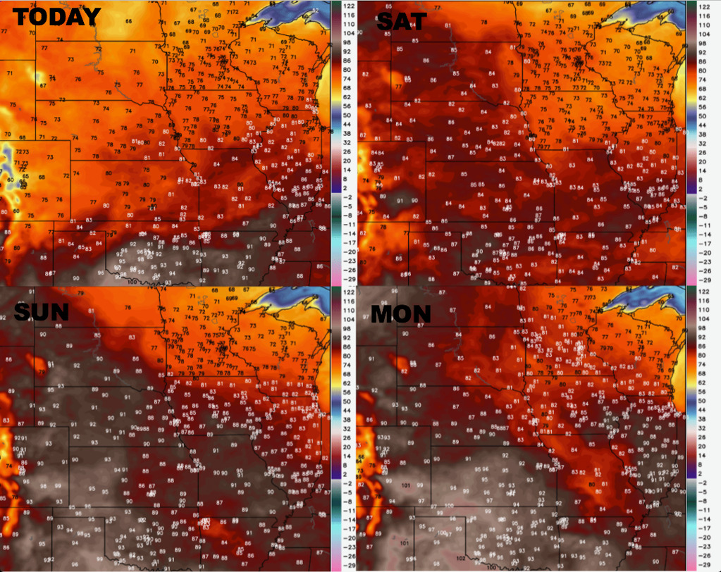
A look at temperatures through early next week as well:
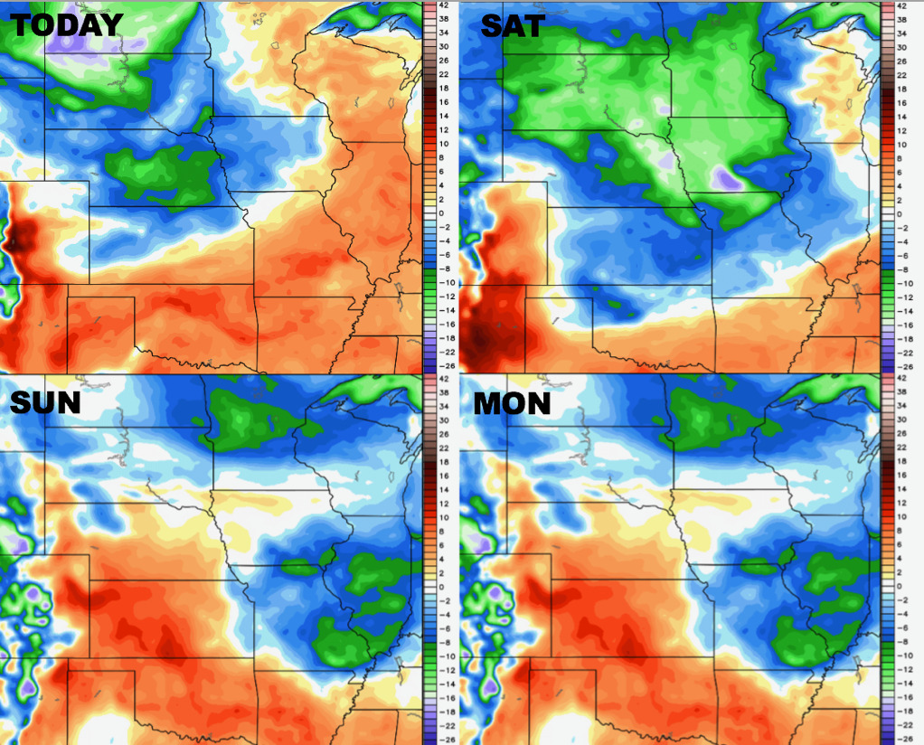
Dew points from normal through Monday:
Confidence:
- Confidence growing to average to above average that storms, some being strong, focused across the east and southern zone locations today into tonight.
- Above average confidence Saturday is a nice day as we are under high pressure conditions.
- Average confidence Sunday afternoon into evening we are watching for additional storm development, can’t rule out strong storms here.
- Increasing confidence of a storm cluster (MCS) moving across the central Plains Monday night into Tuesday morning as we get under a northwest flow.
Video (7 min):