Key Points – Monday, July 17, 2017:
Synopsis: Good Monday morning! As we go throughout the next 5-7 days we think this will be the hottest stretch of weather we’ve seen this summer thus far; on top of this as we get into mid to late week we are concerned with elevated overnight lows of 75+, not great conditions for crop health. The hard part about this pattern is illustrating exactly where the rainfall sets up, and who stays drier. Right now, unfortunately, the further south your location in Zone 8 the more likelihood of drier/hotter conditions. We discuss the rainfall chances in detail in the video, let us know if you have any questions…have a blessed day!
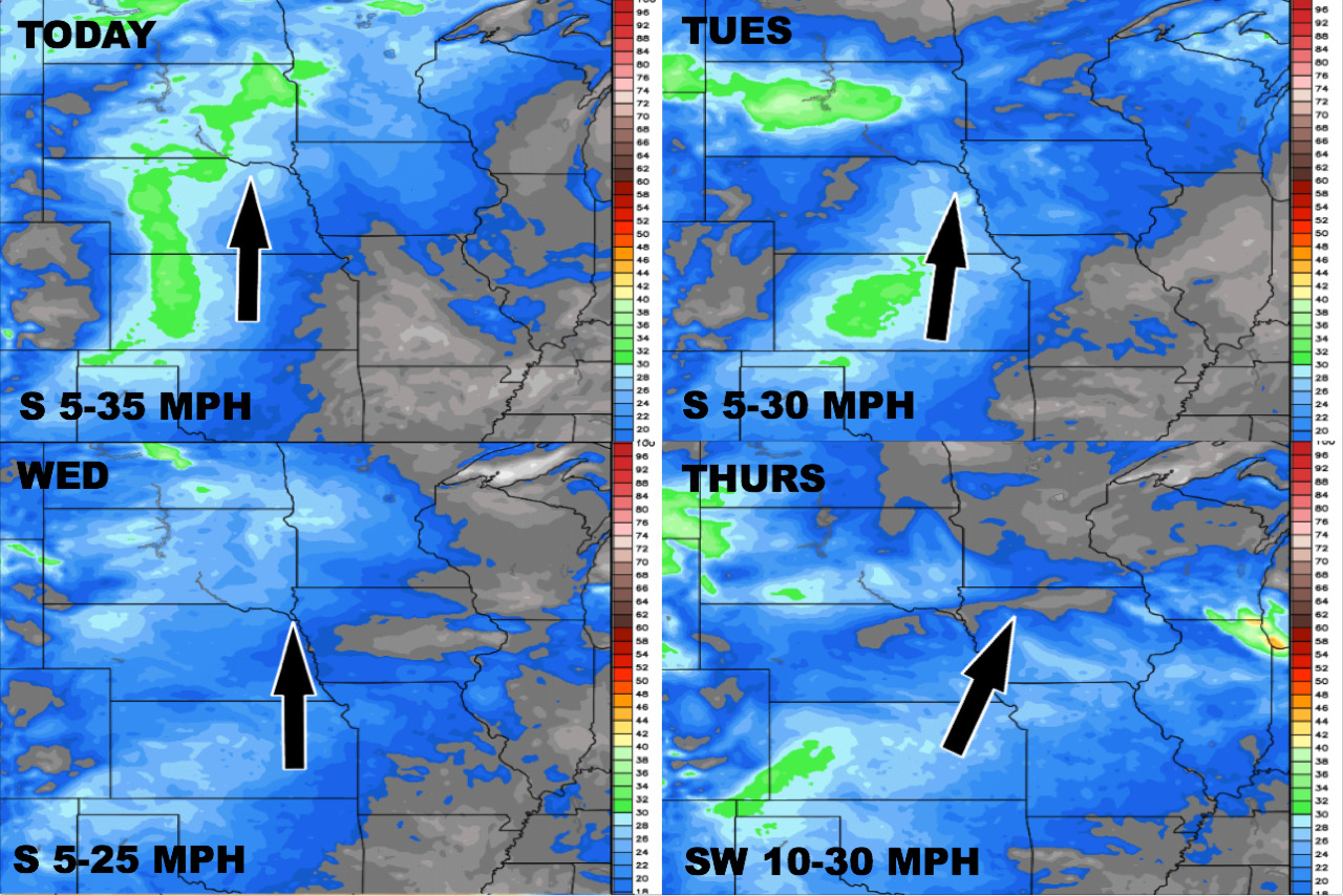
Wind forecast over the next 4 days:
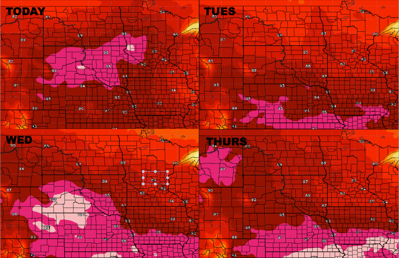
High Temperatures into mid-week:
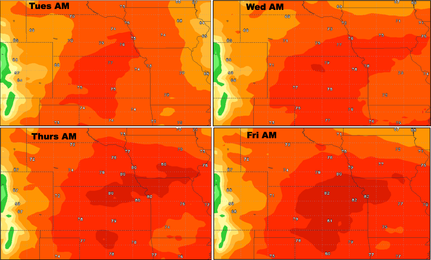
Overnight temperatures into mid-week:
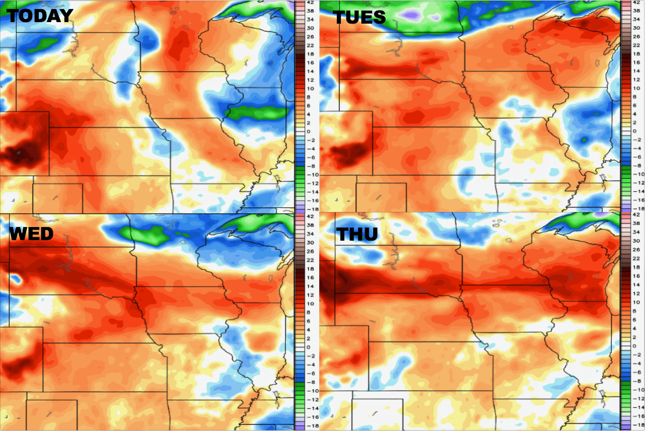
Dew points from normal:
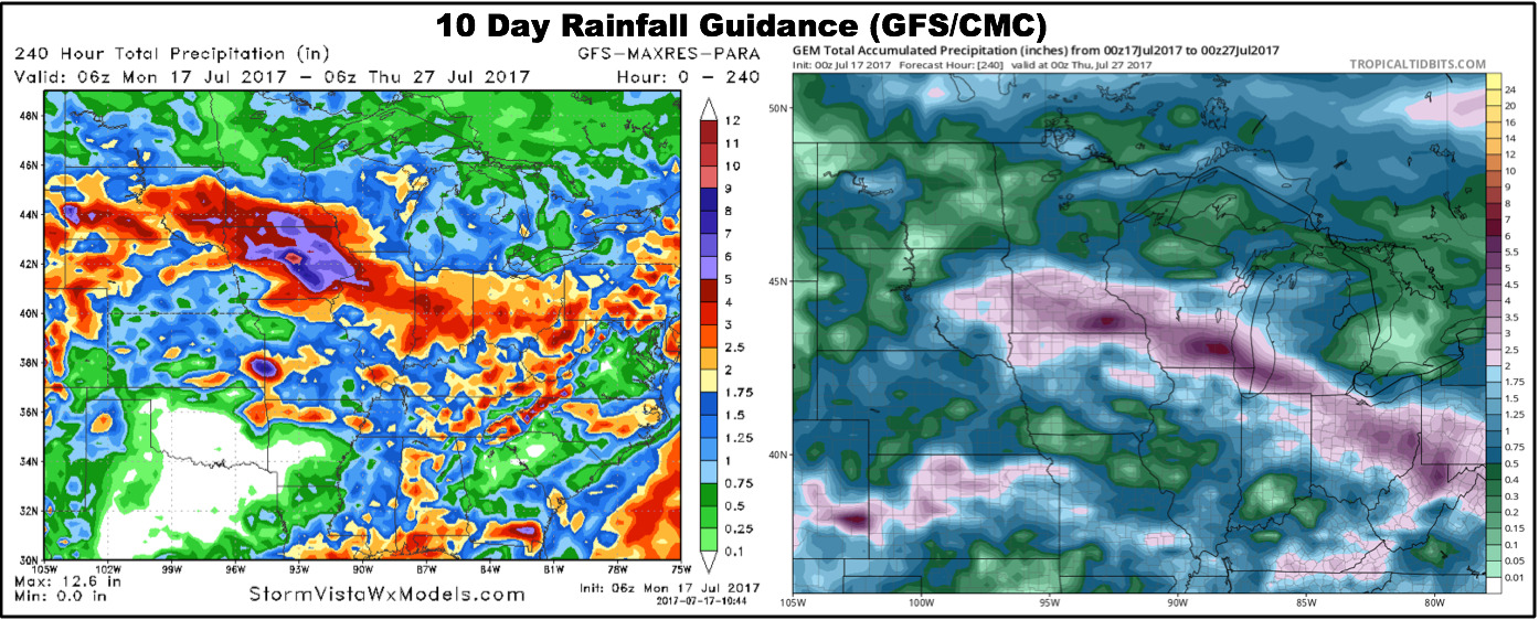
Rainfall guidance from the GFS/CMC models over the next 10 days:
Confidence:
- High confidence it’ll be a very warm week across the central Plains, likely one of our warmest weeks of the year.
- Above average confidence that the have’s and have-nots pattern continues over the next 5 days, with areas south staying drier/hotter.
Video (time):