Key Points – Wednesday, August 2nd, 2017:
Synopsis: In today’s video we discuss the storm risks heading through today and Thursday. Some may be strong to severe in nature as well. Unseasonably cool and dry air settles in behind a cold front for late week. Additional storm chances will move through this weekend (some may be strong to severe as well), with a renewed shot of cool air early next week.
Today’s Video (7:40):
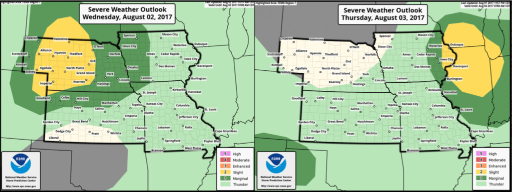
Here are the severe storm risks over the next couple of days. Highest severe threat today focused across Nebraska. Heading through the day Thursday, severe storm risk will shift to eastern Iowa.
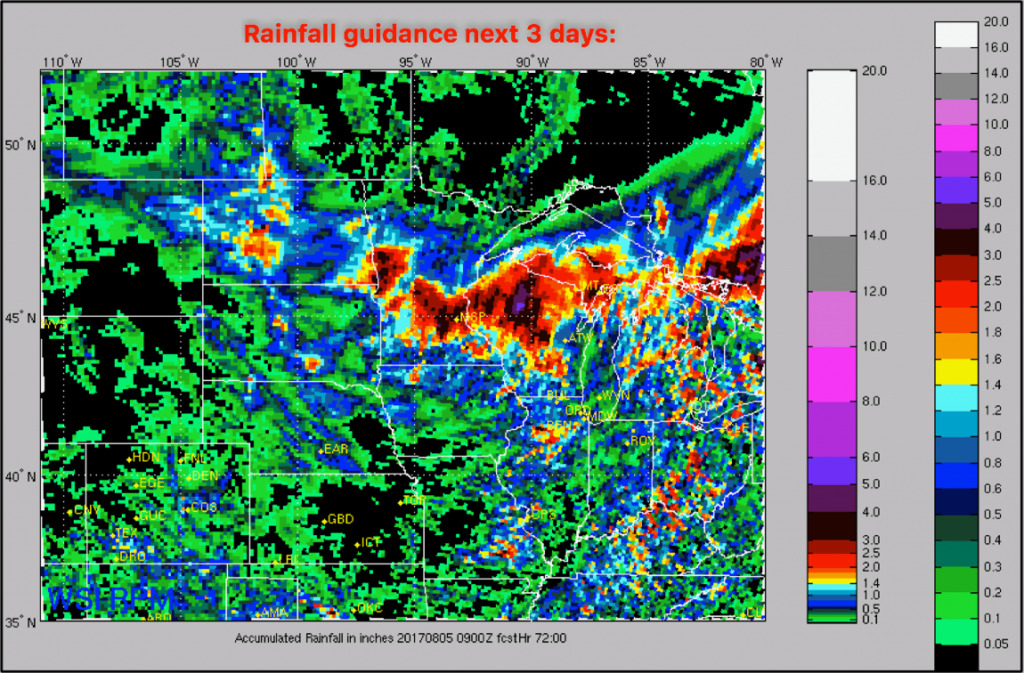
Rainfall amounts will be hit or miss over the next 72 hours. Where storms do develop, 1-2″ with isolated higher amounts possible. Watch the video for more specifics.
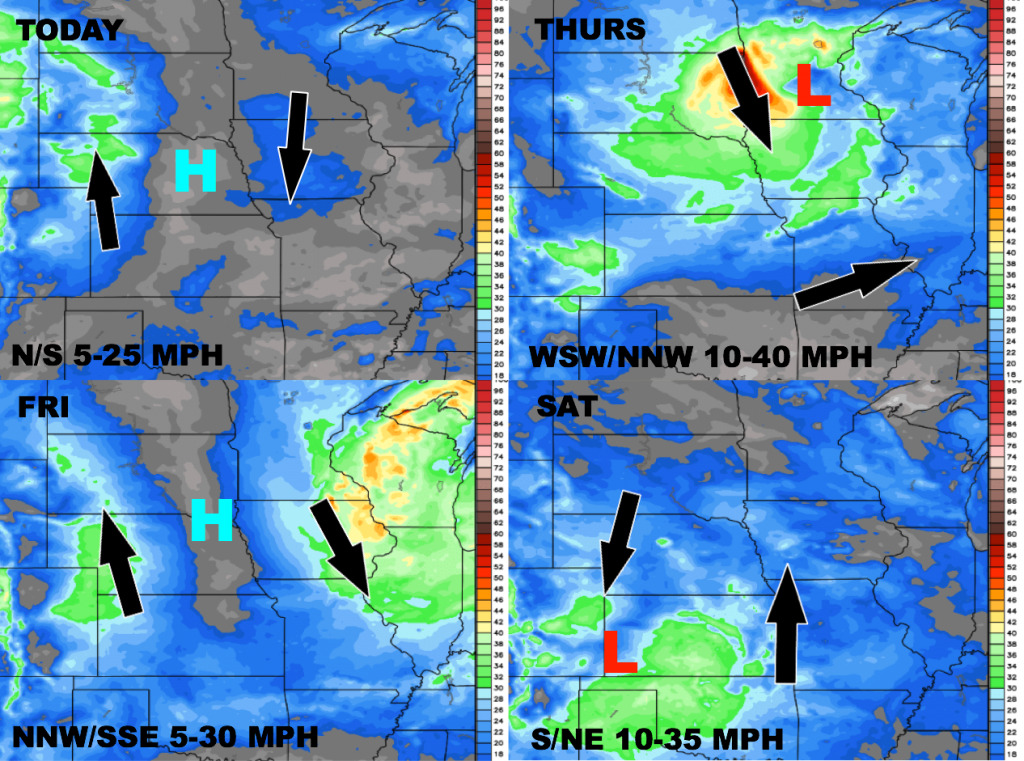
Wind forecast over the next 4 days is shown below.
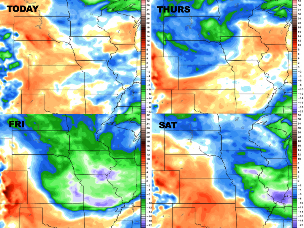
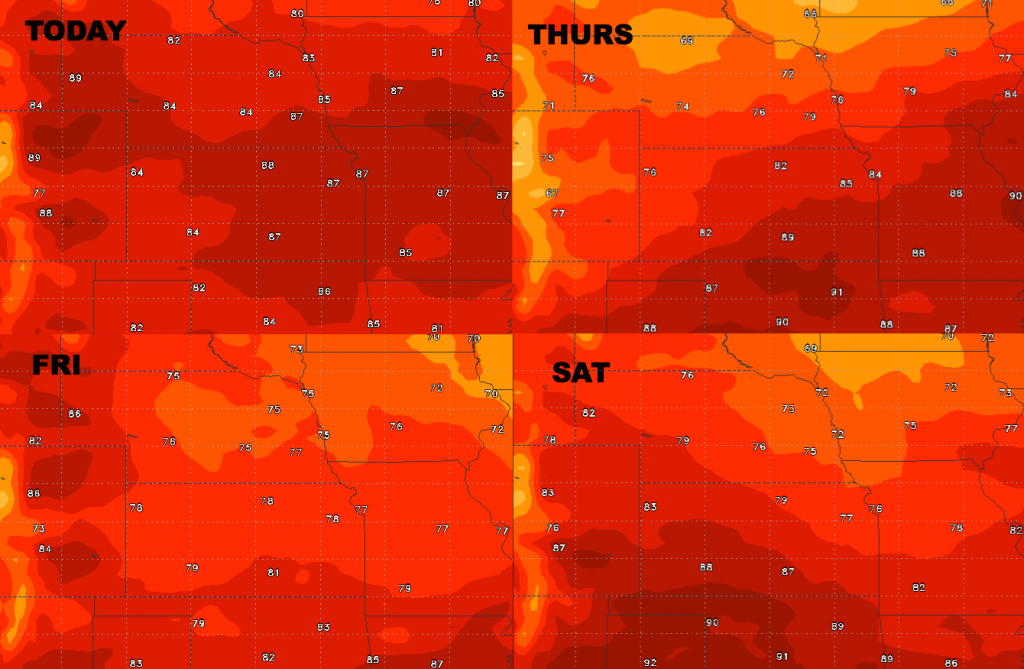
High temperature forecast through Saturday, turning unseasonably cool behind the cold front Thursday into Friday.
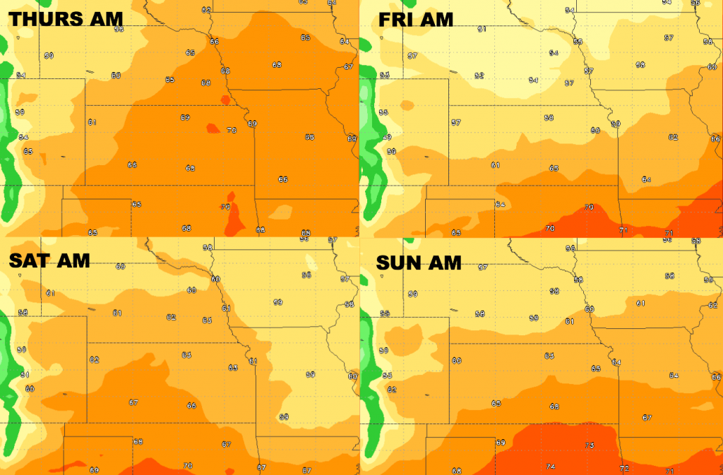
Low temperature guidance over the next 4 days is shown below. Unseasonably cool low temperatures expected for late week.
Dewpoints from normal are shown below. Fall-like dew point levels settle in for the end of the week.