Key Points – Friday, July 28, 2017:
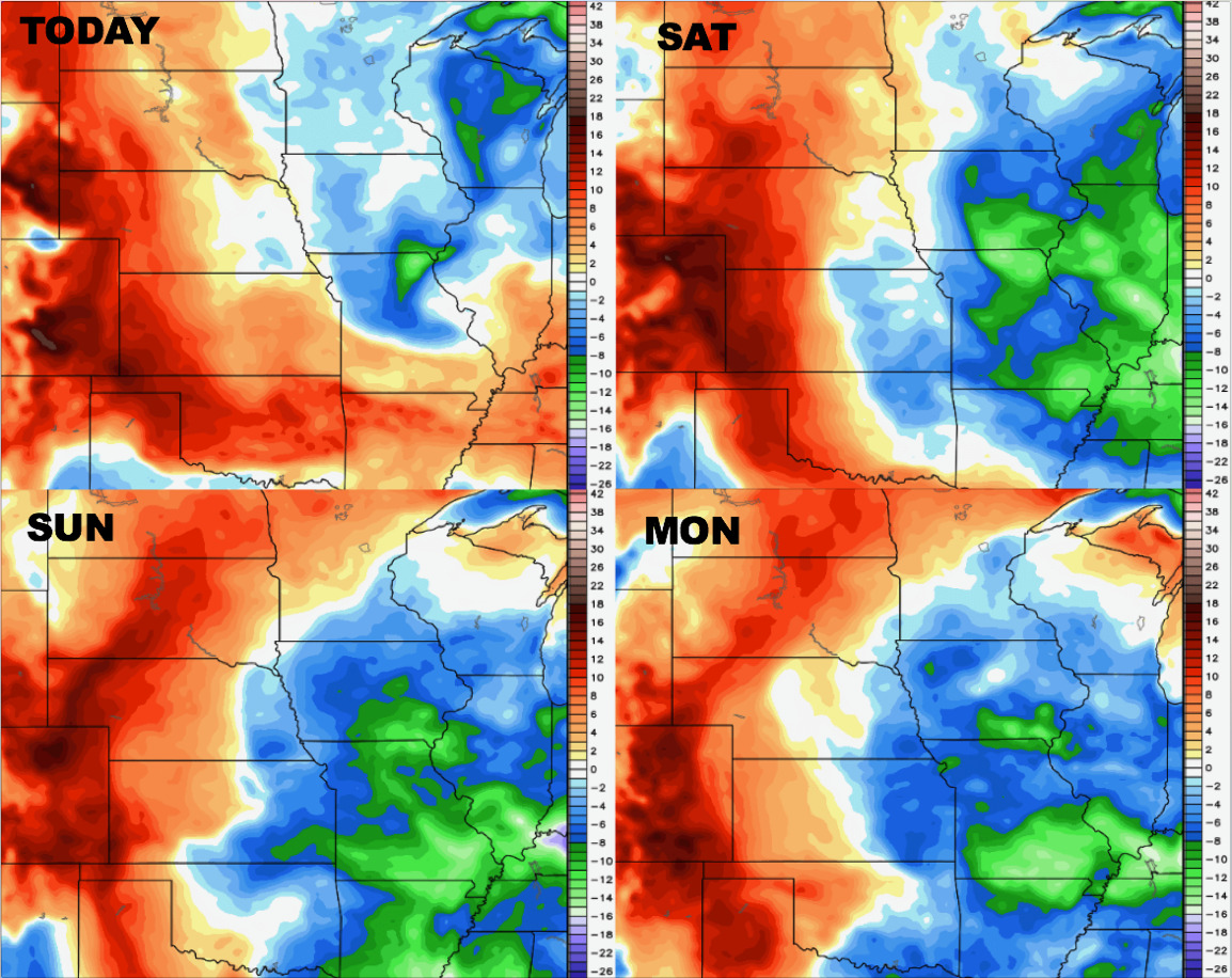
Synopsis: Good Friday morning! Today we discuss the rainfall and storm risks focused across the western parts of the forecast area through the weekend, locations further north and east will remain drier with comfortable temperatures. The drier pattern lingers into early next week where we don’t start targeting rainfall chances until mid to late next week. The dominating feature will be the overall cooler pattern hanging around through early August. If you have any questions please let us know!
Today’s video (7 min):
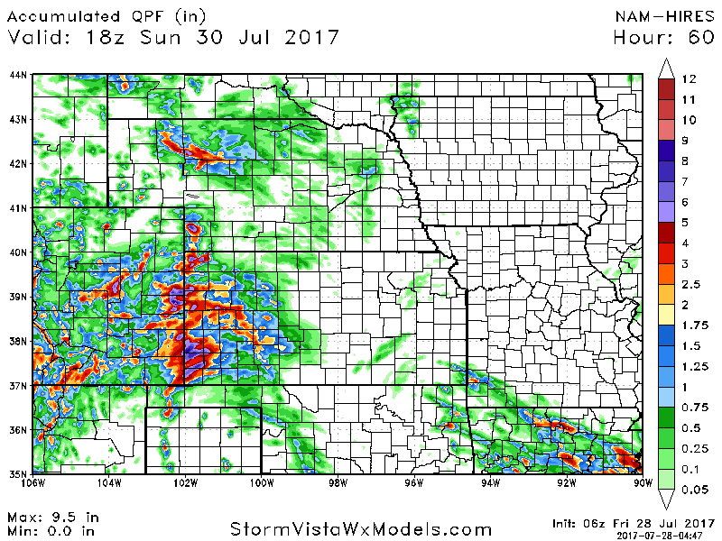
Rainfall totals guidance over the next 2-3 days suggests the focus of the rainfall will be west on the order of 1-3″ with isolated higher amounts. The storms will be scattered and in clusters at a coverage of 50-60%. Locations further north and east stay drier with no anticipated rainfall.
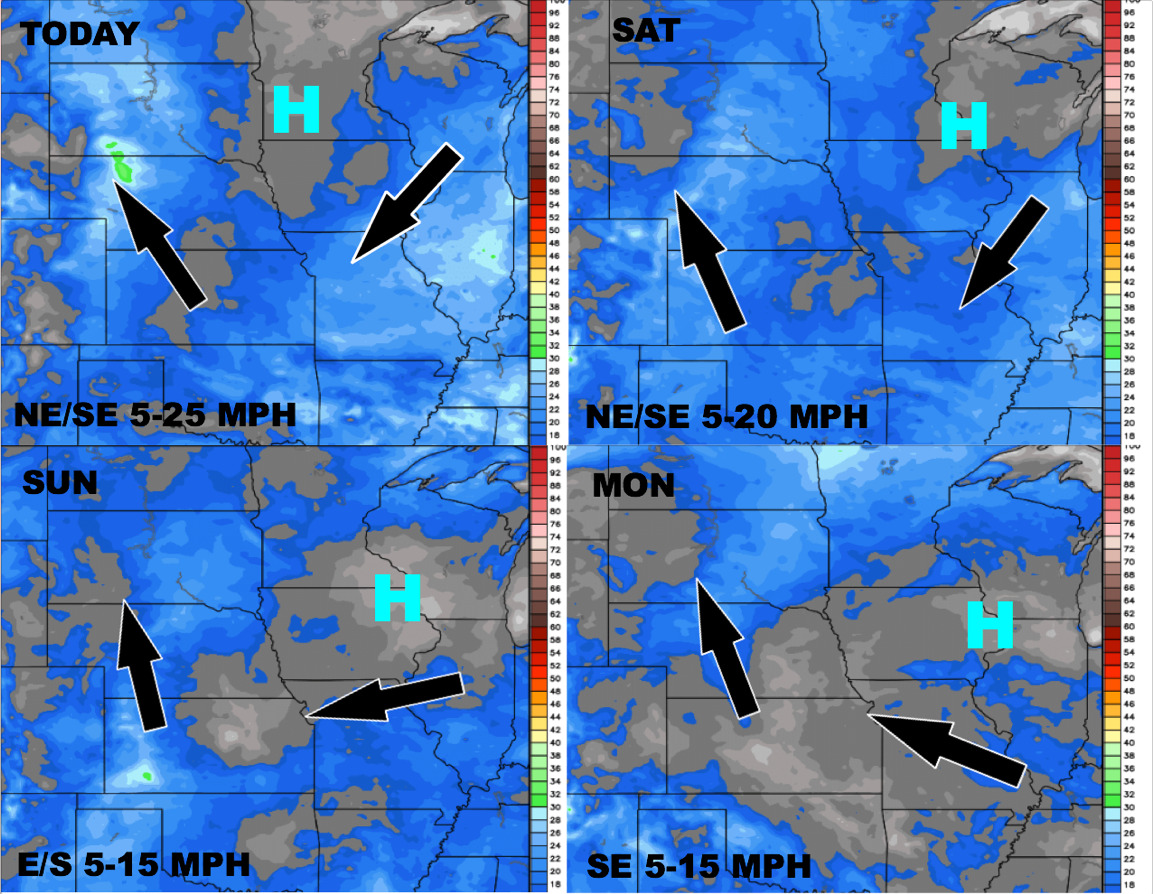
Wind forecast next 4 days:
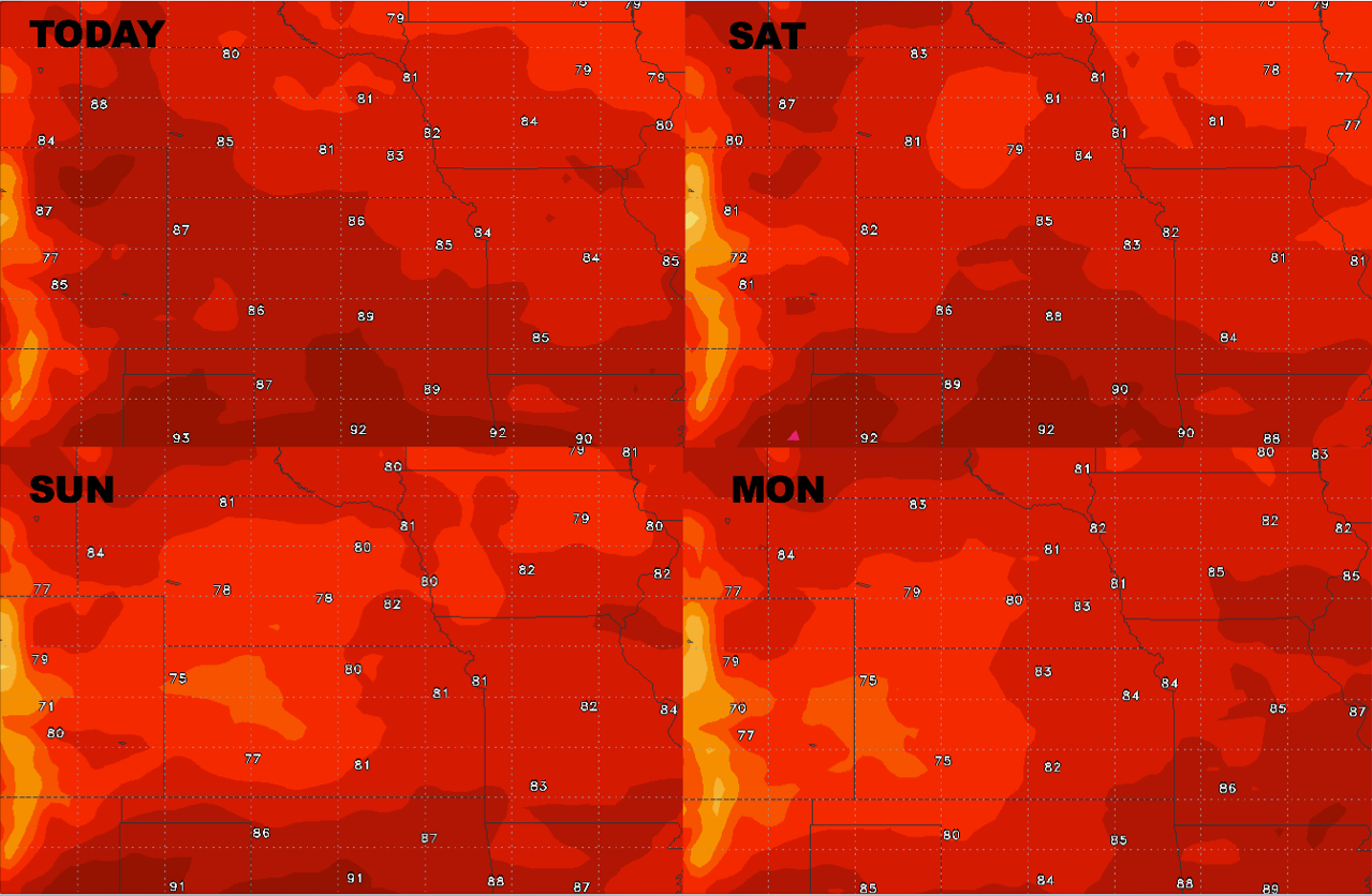
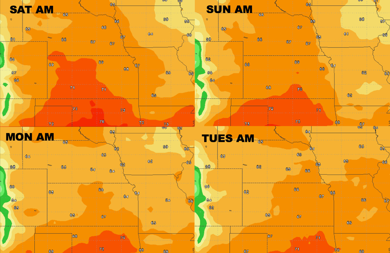
Temperatures next 4 days:
Overnight lows next 4 days:
Dew points from normal into early next week: