Key Points – Friday, July 14, 2017:
Synopsis: Good Friday morning! Today we discuss the rainfall over the past week, with many locations getting some much needed rains and the somewhat calmer period ahead. We have a very interesting scenario moving into Saturday…watching for a potential heavy rains across Kansas and SW Missouri as there is a lot of forecasted energy kind of just spinning across the area…we have a hunch that there could be some seriously heavy rainfall here as well over the next 48 hours. Locations further north and east will hold a more quiet weather pattern. Getting into Monday, a lot of Nebraska/Kansas see a decent storm threat, progressing into Tuesday into Wednesday we see continued energy over the top of the ridge across Nebraska/Iowa and parts of Missouri…which will be the story getting into the latter half of next week. Good signals for rain over the next 10 days, obviously not everyone cashes in but not a bad pattern overall for rain chances. All the details in the video, if you have any questions please let us know! Have a blessed weekend!
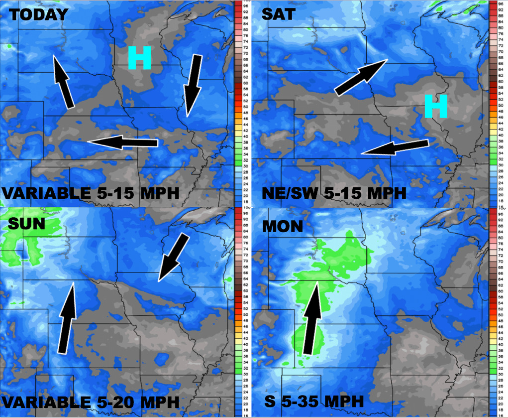
Wind forecast over the next 4 days:
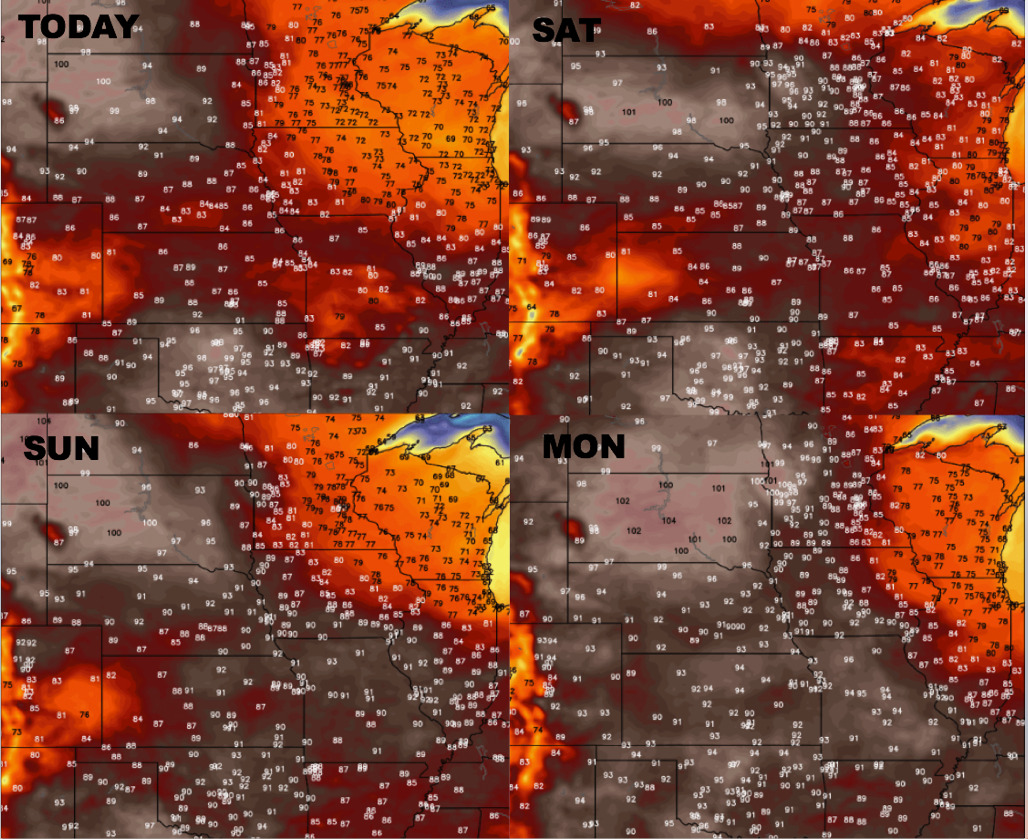
Temperature forecast into early next week:
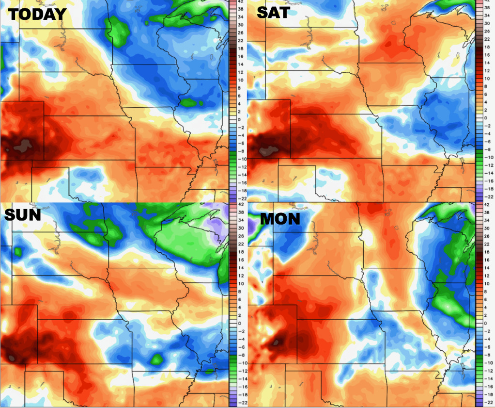
Dew points from normal into early next week as well:
Video (6:30 min):