Key Points – Thursday, June 22, 2017:
Synopsis: Good Thursday morning! Today we discuss the showers and storms working in as a cold front starts to progress across the central US today and exiting south and east Friday. A much cooler pattern starts to work in this weekend into next week, however, we continue to remain active with precipitation especially north and east. All the details in the video, have a blessed day!
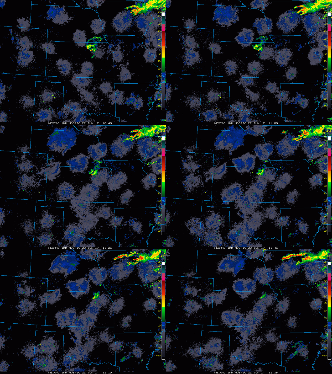
Current Radar:
Simulated Radar today…we stay very active with precipitation across Iowa for most of the day…storms start to work in across Kansas and Missouri as well later this evening into tonight as well.
Getting into Friday we start to see the cold front work its way south and east through the central Plains…the majority of the remaining rainfall will be focused across Iowa and Missouri, with scattered storms possible across western Nebraska/Kansas.
Strong storm risk on the day today as well across the Zone…main risks being localized heavy rainfall, gusty winds and isolated large hail.
Here’s a look at guidance in regards to rainfall totals into early weekend…we think it’s missing parts of western Kansas heavy rainfall, but there will be localized heavy rainfall of 1-3″ especially west and east of the Zone.
Current wind forecast over the next 4 days:
Current look at temperatures into the week…much cooler air arrives:
Dew points from normal as well…very pleasant weather settles in:
Plenty of storm chances as we get into next week over the next 10 days…pretty active especially for the eastern parts of Zone 8…2″+ certainly on the table here.
Confidence:
- Above average confidence showers and storms start to work into the central US later today into tonight, some being heavy and strong.
- Above average confidence of additional rainfall along the cold front late tonight into Friday from south and east…additional heavy rainfall possible here and well.
- Above average confidence a much cooler pattern settles in this weekend into next week behind the cold front.
- Increasing confidence a continued active pattern settles into next week as well as we start feeling a northwest flow.
Video (6 min):


