#NDwx #SDwx #WIwx #MNwx #AGwx Becoming Quite Active Next Week. Details Here! E.
Key Points: May 11, 2017
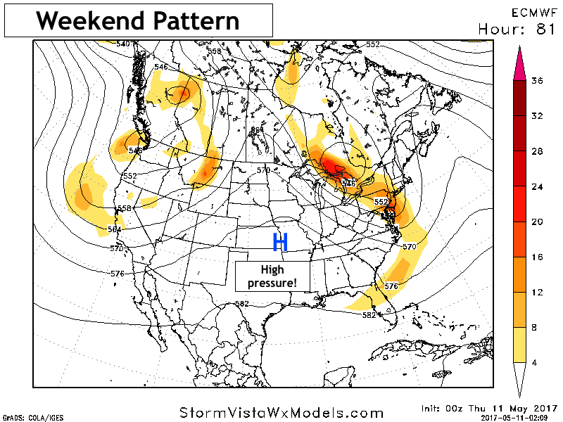
Synopsis: Good Thursday morning! Radar is quiet as high pressure settles into the region today and this will be the theme over the coming days. This will likely not last, however, as we continue to watch the ridge break down as early as Sunday. This will bring rain and storm chances back into the region for much of next week along with a trend toward cooler, especially west. Have a wonderful day!
- The big story over the weekend will be the ridge across the Plains, bringing dry and warm conditions.
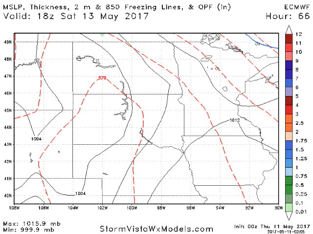
- However, this ridge breaks down across the forecast area quickly by Sunday. This will shower and storm chances back even Saturday afternoon far west, then Sunday onward for the rest of the region. Here’s a look at the European model for reference.
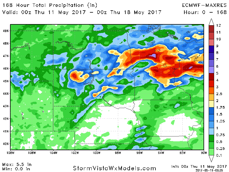
- 7 day rainfall (through next Wednesday evening) is impressive where complexes of storm track. This will be explained better in the video and as we move closer to the event!
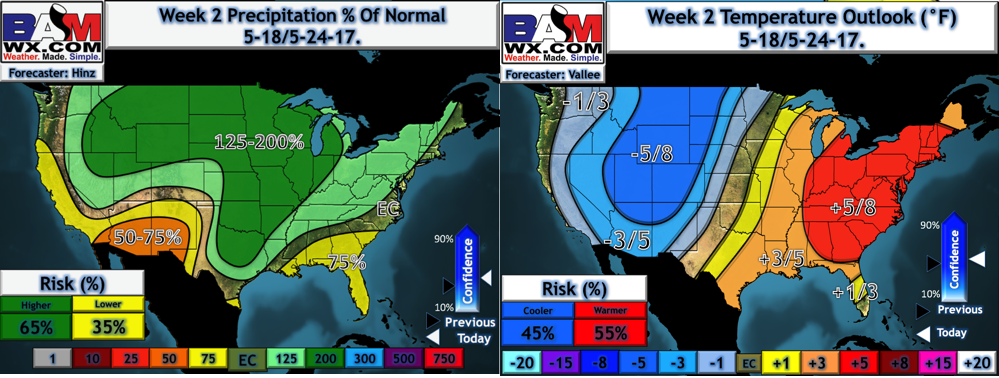
- This regime likely lasts into week 2 as well. Latest MegaCluster data is very wet in week 2.
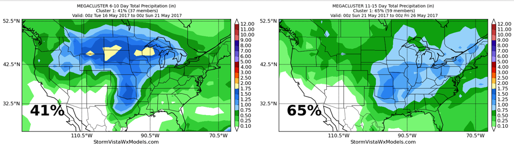
- Our week 2 forecast also resembles this risk, along with a battle zone in temperatures across the region.
Confidence and Risks:
- Above average confidence in a dry stretch over the weekend before rain and storms return as early as Sunday.
- Increasing confidence in cooler than normal temperatures west and above normal temperatures east developing next week.
- Increasing confidence in above normal precipitation across the entire area into week 2 and perhaps even beyond.
Today’s Video (6 minutes):