#NDwx #SDwx #MNwx #WIwx Serious Heat Coming, Most Active North Into Next Week. E.
Key Points: June 7, 2017
Synopsis: Good Wednesday morning! A weak disturbance continues to move through the region this morning with spotty showers mainly across Minnesota. Overall, the big story will be the heat coming on strong over the weekend into early next week as a ridge of high pressure settles over the region. The best chance for precipitation through early next week will be found across northern areas.Toward the middle of next week, a storm system will push through the region brining a more widespread threat for rain, but timing and intensity remain to be seen. Have a blessed day!
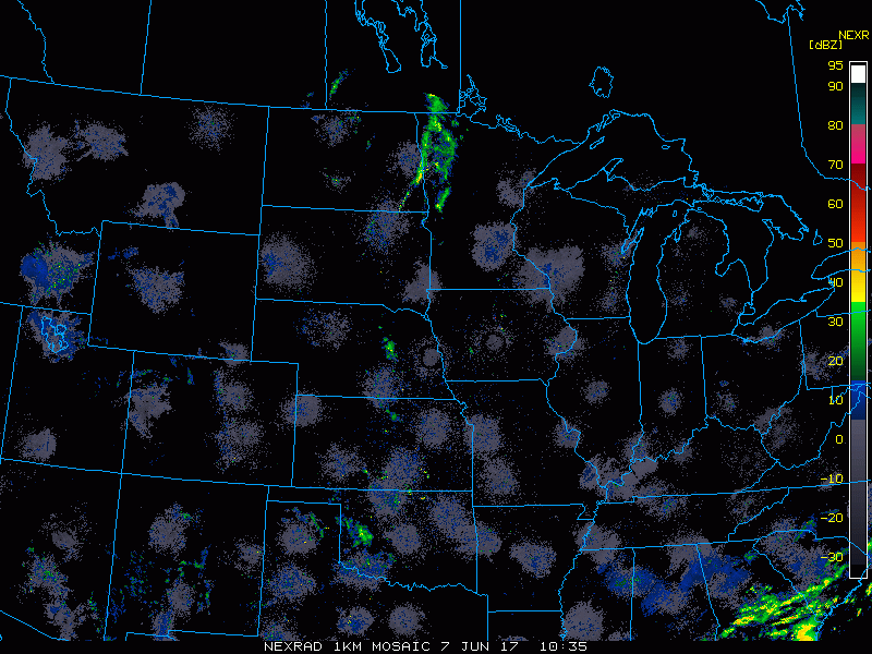
- Current radar shows the activity across Minnesota this morning.
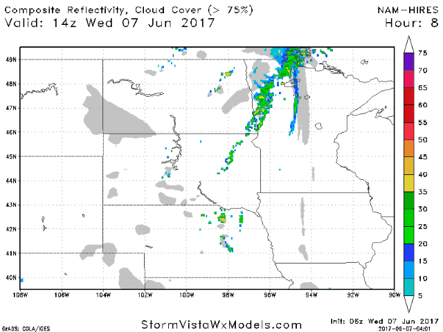
- Through Thursday, storms will be quite spotty in coverage, but if your location sees one, it can drop briefly heavy rain.
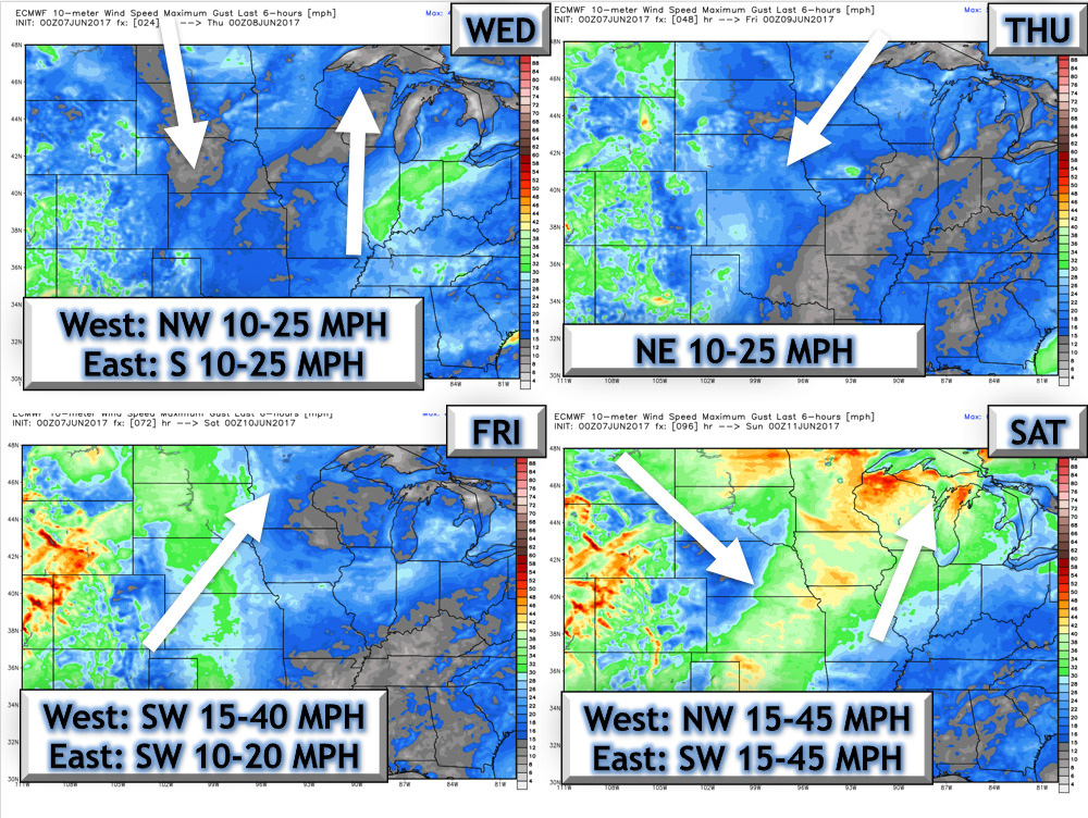
- 4 day wind forecast.
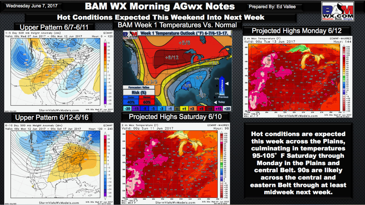
- The big story will be the heat coming this weekend. I touch on specifics in the video, but I think this slide from our Ag report really shows the upcoming pattern well. Some places will be into the 100s!
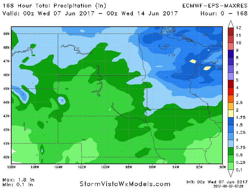
- Rain chances will be most prevalent north into early next week. Total rainfall through next Tuesday is shown below.
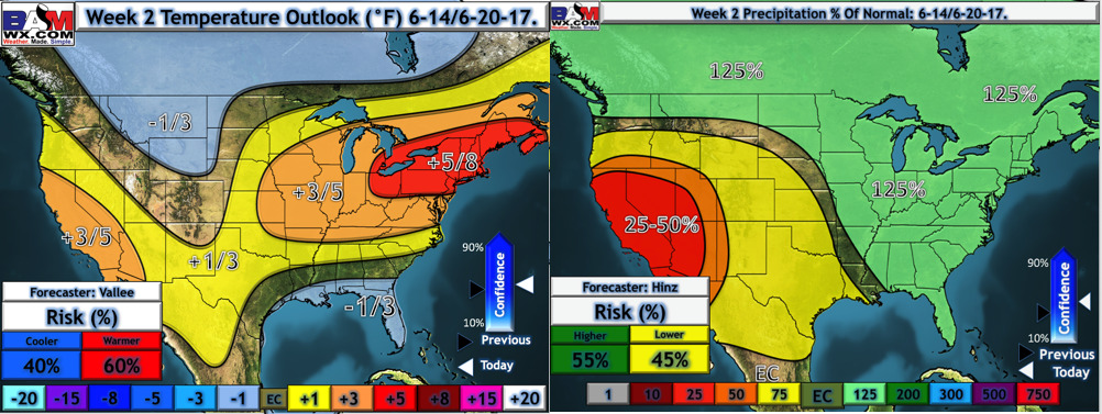
- We are still on track for a more active rainfall regime and a closer to normal temperature regime into week 2. Here are our week 2 forecasts.
Confidence and Risks:
- Above average confidence in hot conditions through early next week.
- Above average confidence in dry conditions south, and “wetter” conditions north into early next week.
- Average confidence in more widespread rain threats in week 2, but timing and intensity remain uncertain.
Today’s Video (6 minutes):