Key Points – Friday, July 28, 2017:
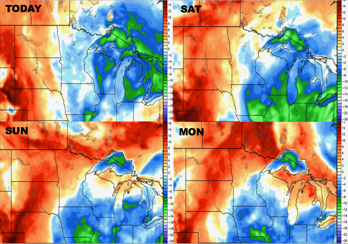
Synopsis: Good Friday morning! A little better focus of storms later tonight across the Dakotas, we see another decent wave move east across the western half of the Dakotas later Saturday night into Sunday morning. Coverage likely ~40% coverage, models will have a terrible time determining exact areas of rainfall this weekend, we discuss in the video our thoughts. It doesn’t get as cool in the northern Plains as it does south in the central Plains, with the western zone locations still hanging around in the 90s. We discuss a couple more rainfall chances into early/mid next week in the video as well, let us know if you have any questions…have a blessed weekend!
Today’s video (5 min):
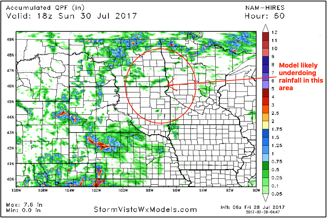
Rainfall total guidance over the next 60 hours…the question here is how Far East the waves of energy move east across the Dakotas into Minnesota…certainly think the models are underdone in this location regarding rainfall totals. Localized 1-2″ likely where the storms do develop.
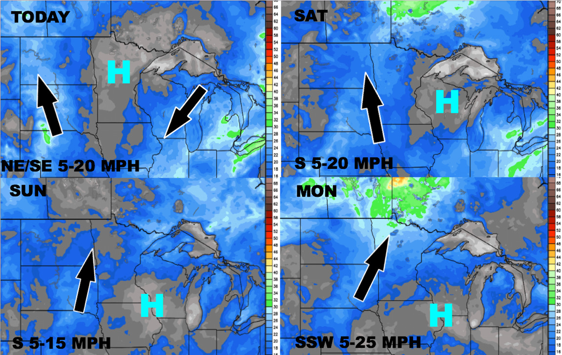
Wind forecast into early next week:
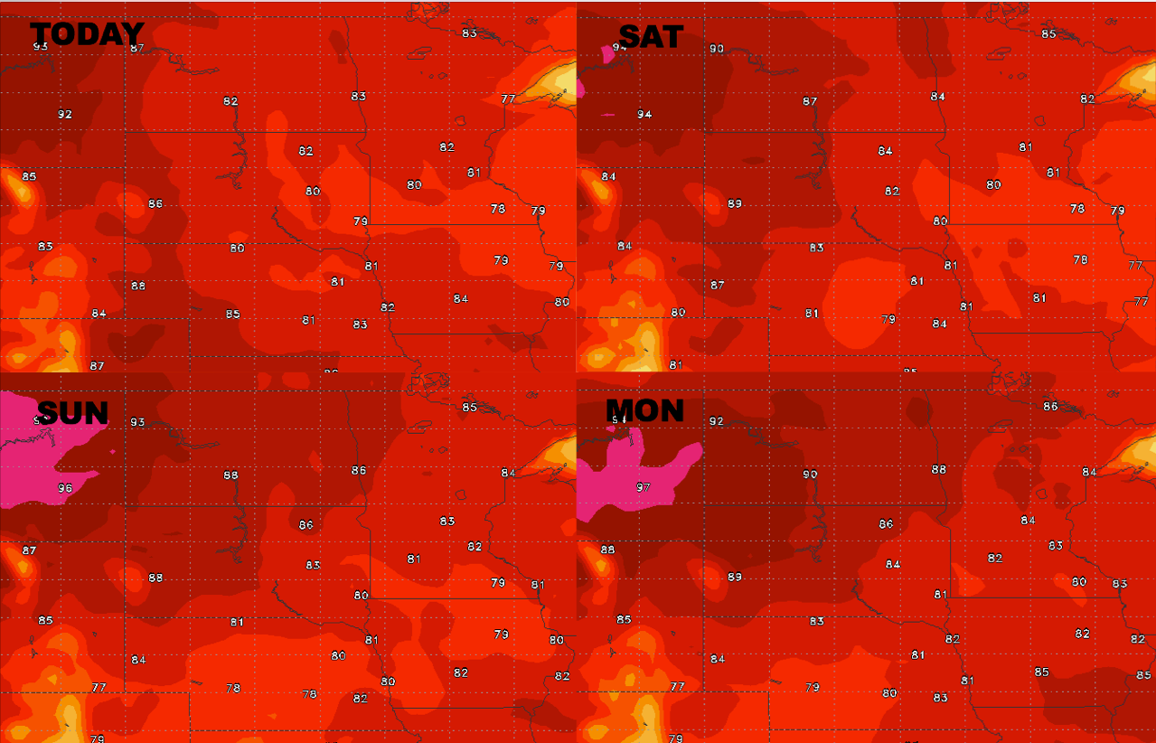
High temperatures forecast guidance…not as cool here as the central Plains into early next week with 90s expected especially across the western half of the Zone.
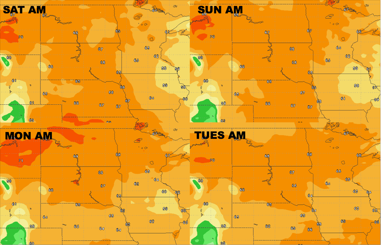
Overnight lows over the next 4 days:
Dew points from normal: