#NDwx #SDwx #MNwx #WIwx Active and Cool This Week, Regime Continuing Into June? E.
Key Points: May 22, 2017
Synopsis: Good Monday morning! We are tracking a disturbance moving through the Midwest this morning bringing some showers to portions of the region. This disturbance will hang around today and tomorrow with additional showers and even a few thunderstorms possible. Another weak disturbance will move into the region Wednesday night into Thursday with some additional showers. Through the week, expect temperature below normal with those shower chances. It doesn’t look like a washout, but it will remain unsettled. Have a great day!
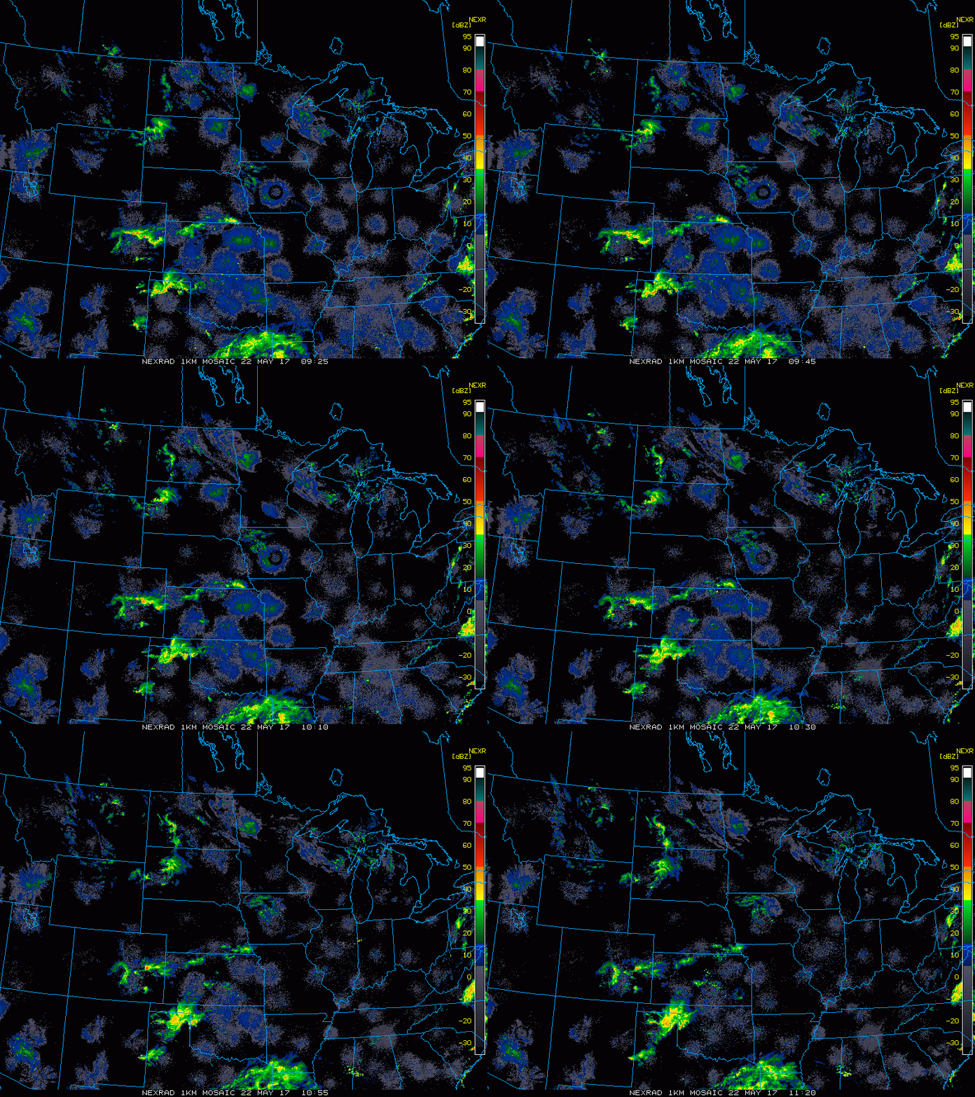
- Current radar shows some showers across the Dakotas.
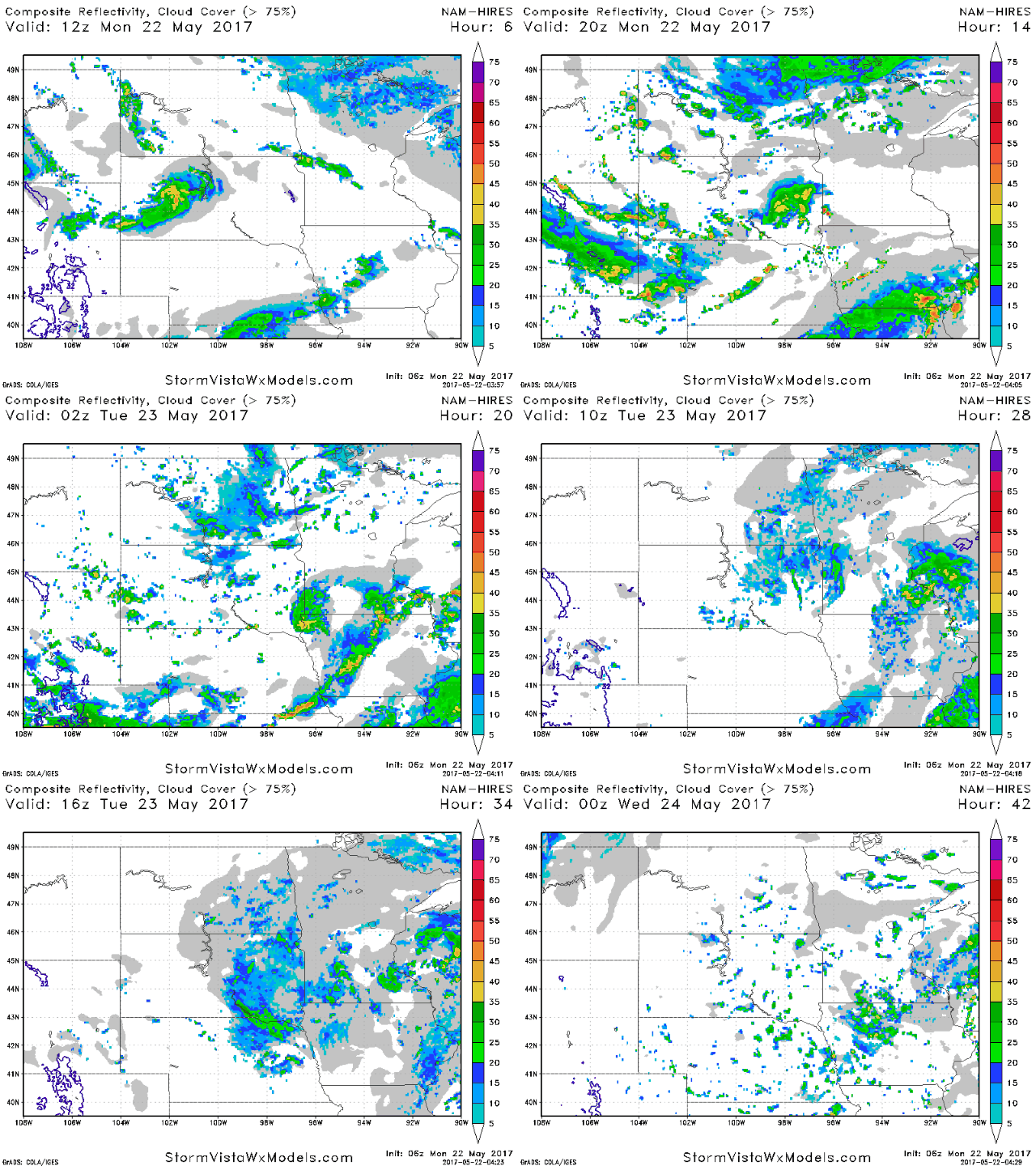
- Shower and storm chances will continue through Tuesday across the region thanks to an upper level system nearby.
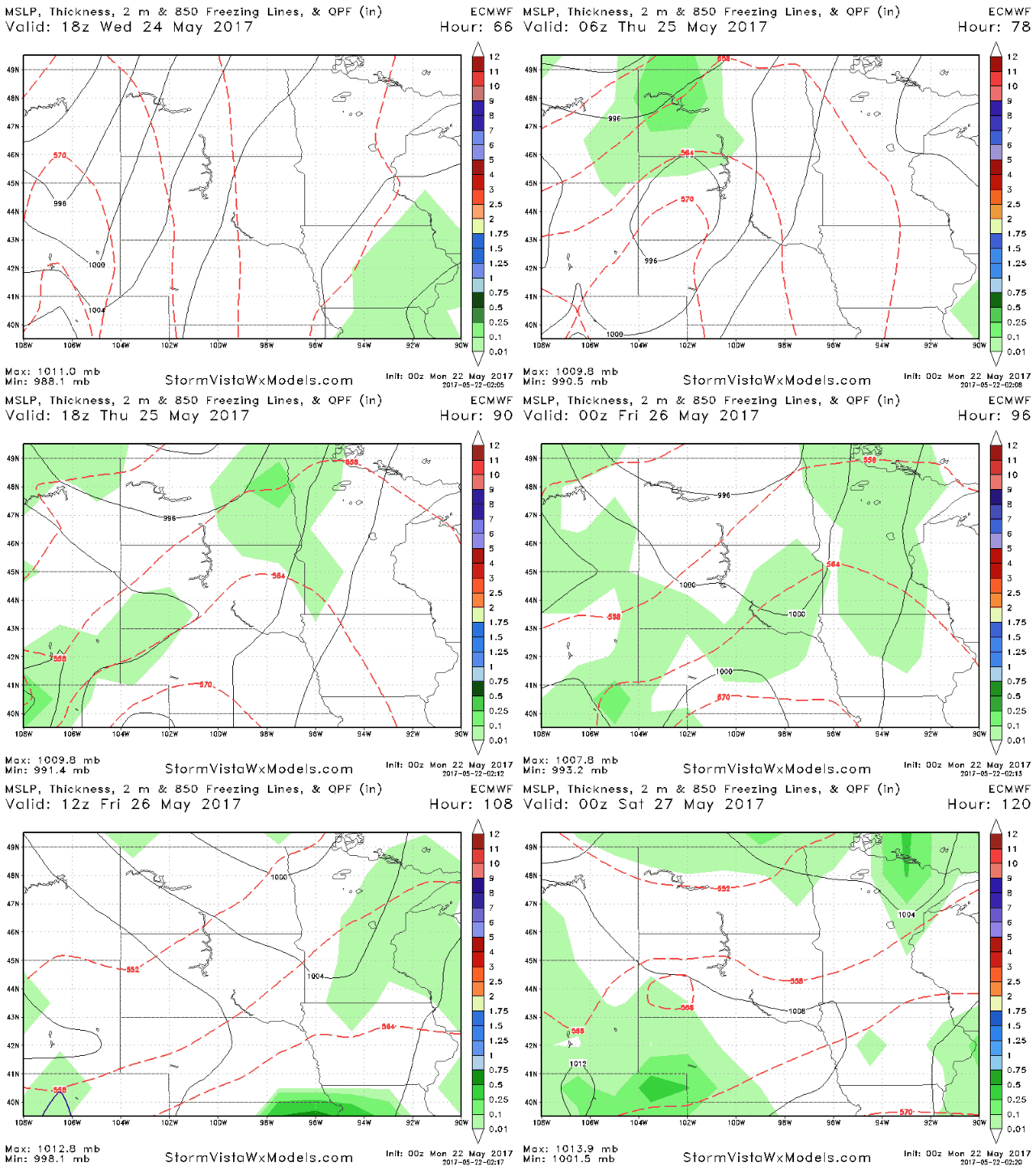
- Cool conditions look to continue through the end of the week with another shower chance Wednesday night through the day Friday.
- Temperatures this week look to remain below normal along with the active times. Here’s our week 1 temperature forecast.
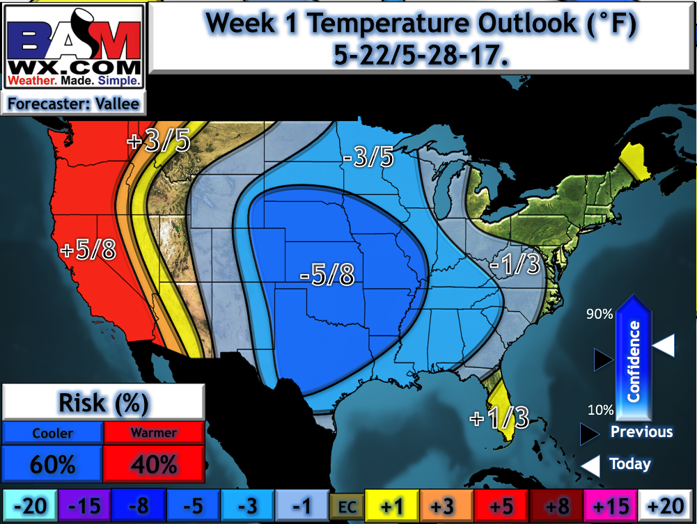
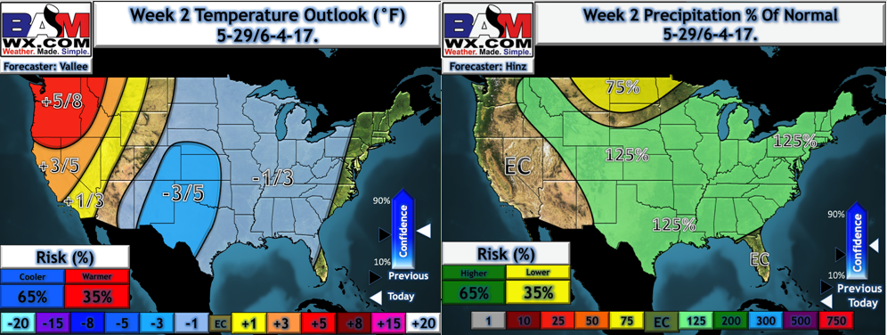
- Week 2 continues to look slightly below normal in the temperature department with active times south and east. Here’s our latest forecast.
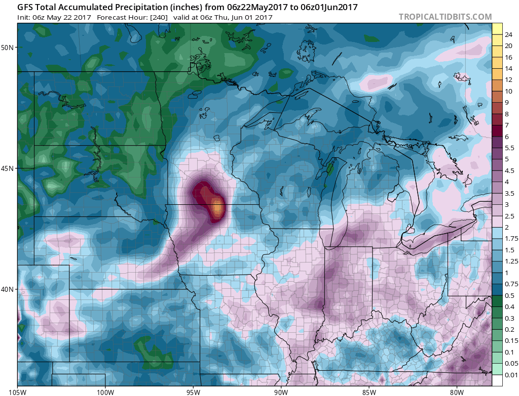
- Total rainfall through day 10 will be impressive south and east and variable elsewhere.
Confidence and Risks:
- Above average confidence in multiple shower and thunderstorm chances early this week, but not everyone will see significant rains – it will be very storm dependent.
- Above average confidence in cooler than normal conditions this week.
- Average confidence in drier times north in week 2 with cooler than normal temperatures continuing.
Today’s Video (6 minutes):
