#MNwx #NDwx #SDwx #WIwx Severe Risks Southeast This Week, Cooler Into The Weekend. E.
Key Points: June 20th, 2017
Synopsis: Good Tuesday! Radar shows a cluster of showers across eastern areas this morning, otherwise its a rather quiet morning. As we move through the day, a few spotty showers and storms will be around, but most of us look to stay dry. A few disturbances look to move through as cooler air moves in tomorrow and Thursday, leading to a severe risk south and east. Cooler air moves in for the weekend into early next week before some additional heat moves into the Plains. Northwest flow will lead to active times across the region, but along with this, we expected a brief stint of heat next week before more cooler air returns to open July. Have a blessed day!
Current radar shows showers east.
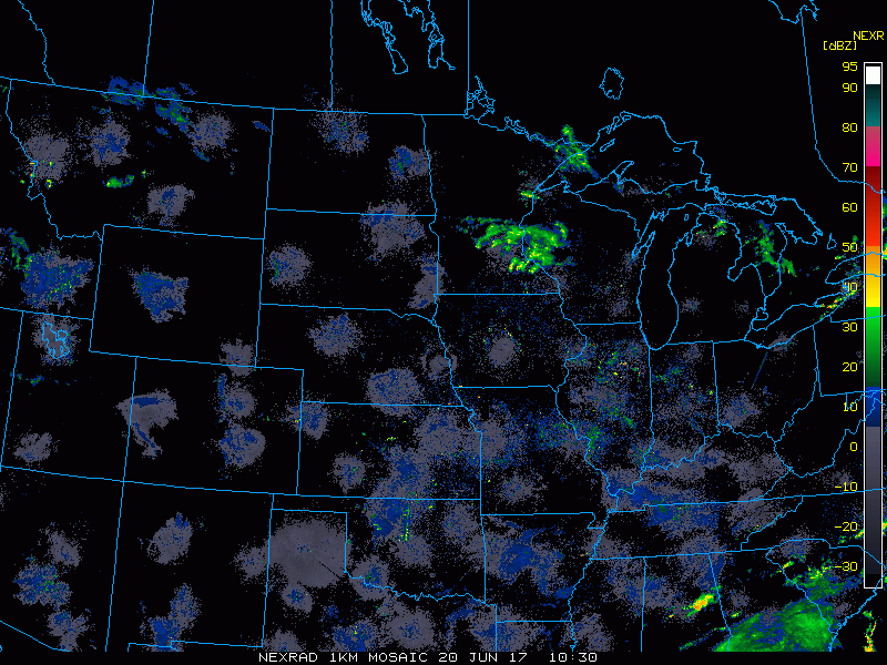
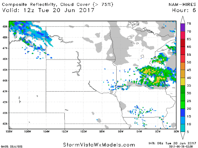
The radar today shouldn’t turn too active, but some spotty activity is possible across the Dakotas.
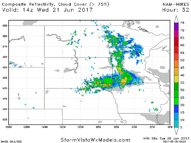
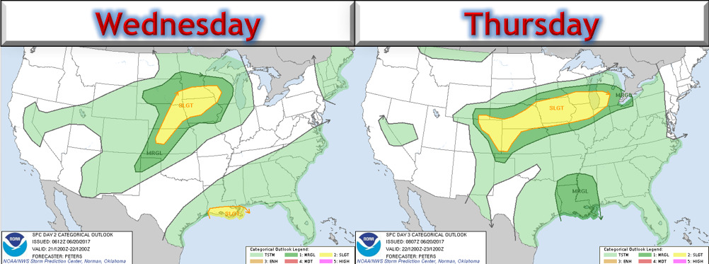
A more widespread shower and storm risk is expected Wednesday and Thursday.
The SPC has outlined portions of the region for severe weather both days.
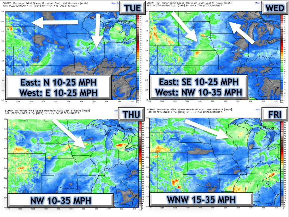
Wind forecast over the next 4 days.
Cooler air makes its way in for the weekend into Monday. I cover temperatures in the video!
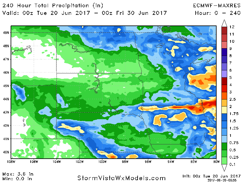
Near to above normal precipitation looks to occur in week 2 as northwest flow develops. Here’s our week 2 forecast.

10 day rainfall:
Confidence and Risk:
- Above average confidence in storm chances Wednesday and Thursday especially southeast.
- Above average confidence in brief heat this week before cooler temperatures return this weekend.
- Above confidence in warmer conditions returning toward the end of next week along with more active conditions.
Today’s Video (7 minutes):