Key Points – Tuesday, May 23, 2017:
Synopsis: Good Tuesday morning! We continue to target a heavy rainmaker from an upper-level low pressure system moving into the Midwest mid-week, as well as another heavy system moving in this coming weekend. We also touch on the latest European weeklies that were issued last night that continue the trend of cooler than normal and an active pattern through June. Have a blessed day!
Current Radar:
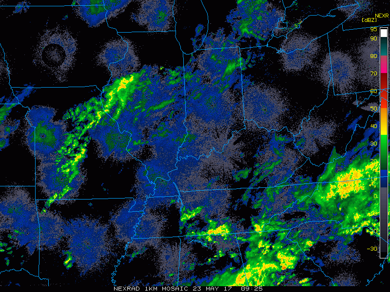
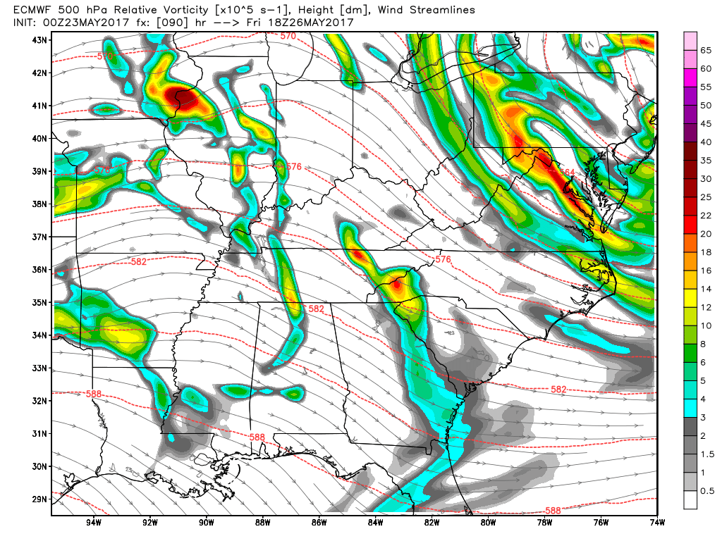
Simulated Radar…most likely most of the day is dry, maybe some clouds and some light showers across northern Indiana/NW Ohio possible. Getting into this evening an area of low pressure approaches through the overnight…heavier rain starts to work in by lunch time tomorrow. Some small hail, thunder, even an isolated, brief tornado not out of the question as we have a lot of spin in the atmosphere Wednesday.
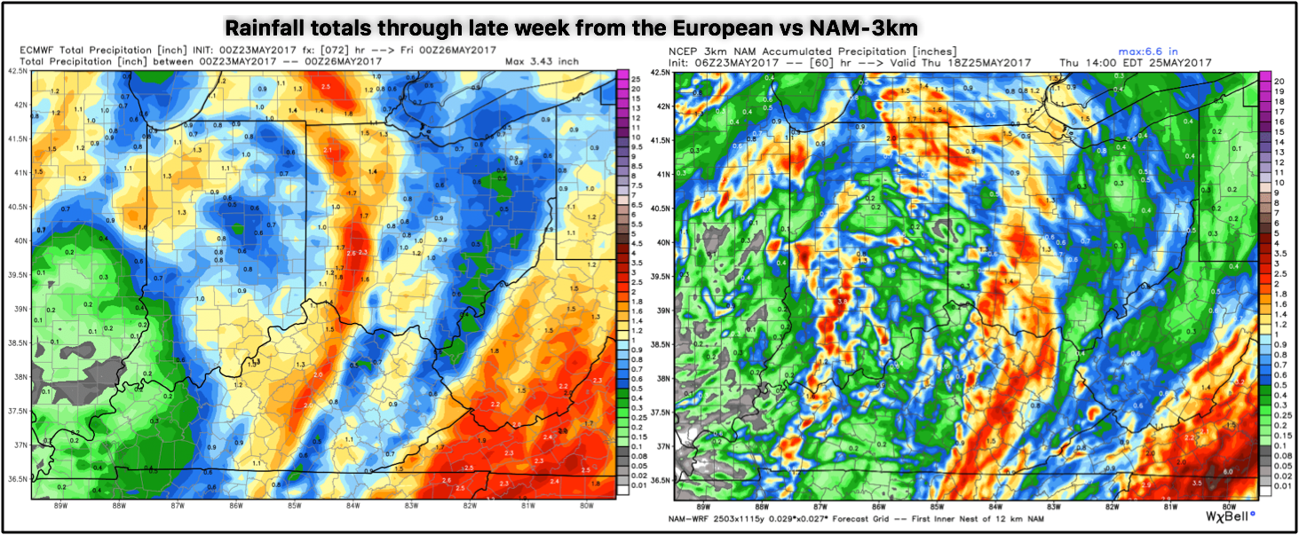
Rainfall totals…will certainly be hit or miss heavy rainfall totals, very hard to pinpoint exactly where the heaviest rainfall sets up, but 2-3″+ will be possible localized.
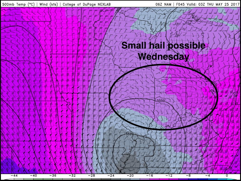
Small hail certainly still on the table Wednesday as we are very cold aloft and atmospheric conditions favorable for lift (rising motion).
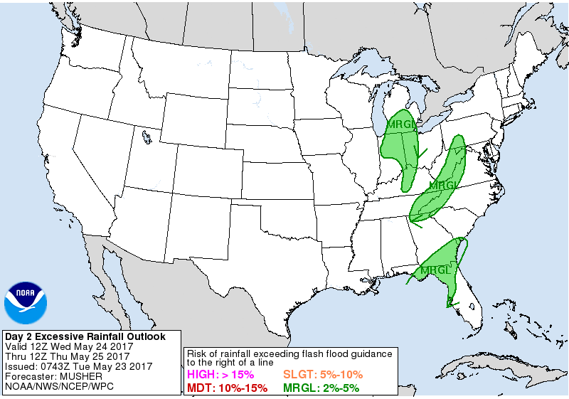
Still have a risk for excessive rainfall risk here, wouldn’t be shocked to see some total rainfall here through late week at 2-4″.
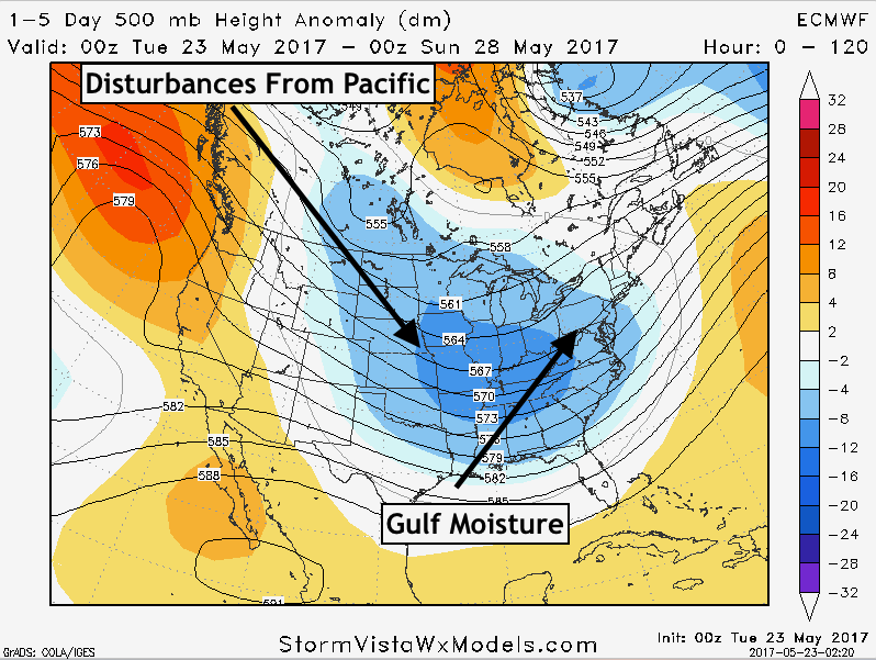
In a nutshell, this is the “why” behind the very active pattern through the weekend…we get disturbances to push through the Pacific into the Midwest that interact with rich Gulf moisture and you get multiple opportunities for heavy rainfall.
Weekend system, we discuss in the video that another low pressure will be approaching the Midwest later Friday into Saturday with a warm front and a trailing cold front that looks to bring additional heavy rainfall and storms to the Midwest.
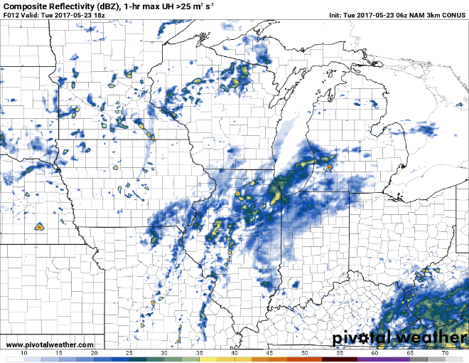
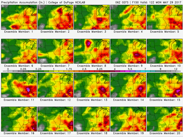
Here’s a good way to illustrate the hit and miss nature of this rainfall through early next week, models are really struggling with nailing down an area given the current pattern we are in.
New European weeklies came out last night, certainly suggests a cooler than normal and wet June for the Midwest which if you look at our long-range outlooks, this has been our thoughts for quite some time.

Confidence:
- Average confidence of some showers in northern IN/NW OH today with most of Zones 1/2 seeing a mix of sun and clouds.
- Above average confidence some heavy rainfall starts to work in Wednesday into Thursday.
- Around average confidence we could see some small hail as is common with an upper level low on Wednesday.
- Increasing confidence of additional heavy rains working in this weekend.