Key Points – Wednesday, May 24, 2017:
Synopsis: Good Wednesday morning! Heavy rainfall, cold-air funnels and small hail will be possible today across Indiana and western Ohio…we continue to watch for a cluster of storms to move east later Friday into Saturday and then the impressive low pressure sweeps east Saturday into Sunday that’ll bring additional showers and storms. We have multiple waves of showers and storms just through this coming weekend, so if you have any questions please don’t hesitate to reach out. Have a blessed day!
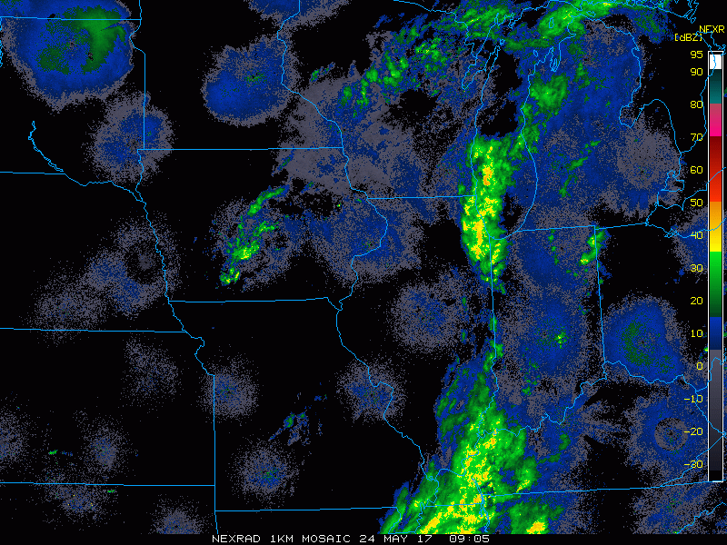
Current Radar:
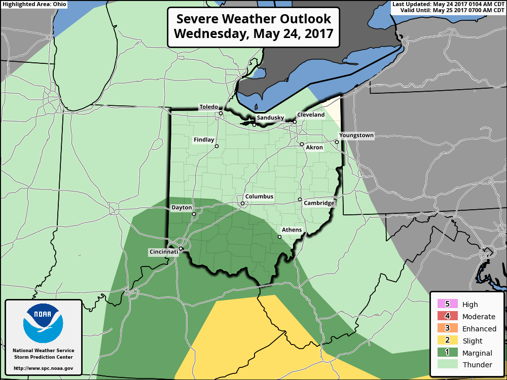
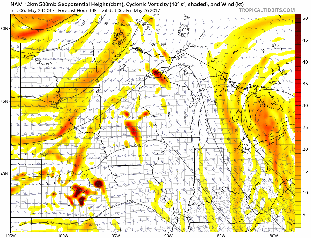
Strong storm risk today…I think the marginal risk could be shifted further north and west to include the risk for some small hail and cold-air funnels today.
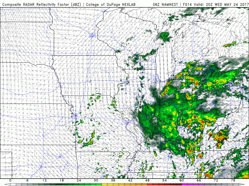
Simulated Radar today through Thursday shows the 70-80% coverage of showers and storms just spinning over the eastern Midwest. As mentioned above, small hail, heavy rainfall and isolated cold-air funnels will be possible.
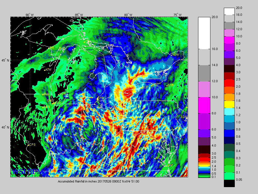
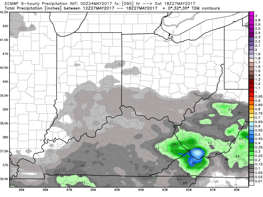
Total rainfall over the next 2 days best seen by the RPM model right now. Not everyone gets on the heavy rainfall, but those across the eastern half of Indiana into Ohio likely see 1-3″ with isolated higher amounts possible.
Need to watch this energy later Friday into Saturday for an MCS event to move through prior to the low pressure system working into the Midwest. The European keeps the threat more across the central/southern parts of the Midwest (typically what happens), but we also have data that takes it across the central to northern Zone locations. Confidence is low on the exact track, but confidence is increasing of the threat for a solid cluster of storms later Friday into Saturday morning to swing through.
Warm front lifts into the Midwest Saturday and then cold front sweeps through on Sunday that’ll bring fairly widespread rainfall this coming weekend…can’t rule out a strong storm risk here as well.
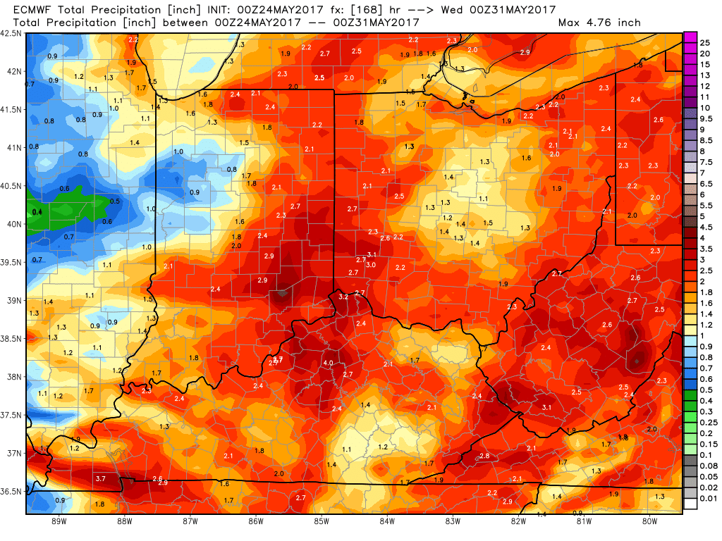
Total rainfall next 7 days seen by the European model…we think it shows the heavy rainfall risks well especially closer to the Indiana/Ohio border…definitely can’t rule out someone getting 4″+ of the next 7 days given how many waves of rainfall will move through.
Confidence:
- High confidence of showers and storms lifting north today across Indiana and Ohio as an upper-level low pressure system spins across the Midwest.
- Average confidence for some small hail and a couple of cold-air funnel reports today.
- Average confidence of some heavy rainfall exceeding 2″+ in some locations, but lower confidence in exactly where the heaviest bands set up.
- Increasing confidence on an MCS event moving east later Friday into Saturday morning.
- Average confidence additional heavy rainfall even a strong storm risks exists later Saturday into Sunday.
Today’s video (8 min):