Synopsis: Good Wednesday afternoon! Storm chances will continue into late week, with the highest risk coming Thursday afternoon into Friday morning along a cold front. Strong to severe storms will be possible as well. Once the front passes Friday, unseasonably cool temperatures will move into the region. Detailed analysis in the video below. Have a great afternoon, and let us know if you have any questions.
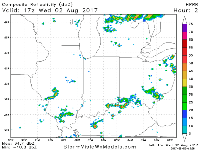
Current radar shows an area of storms along and just south of the Ohio river in northern Kentucky, sparking off a leftover boundary from yesterday’s storms. Expect additional storms to pop on the radar over the next few hours.
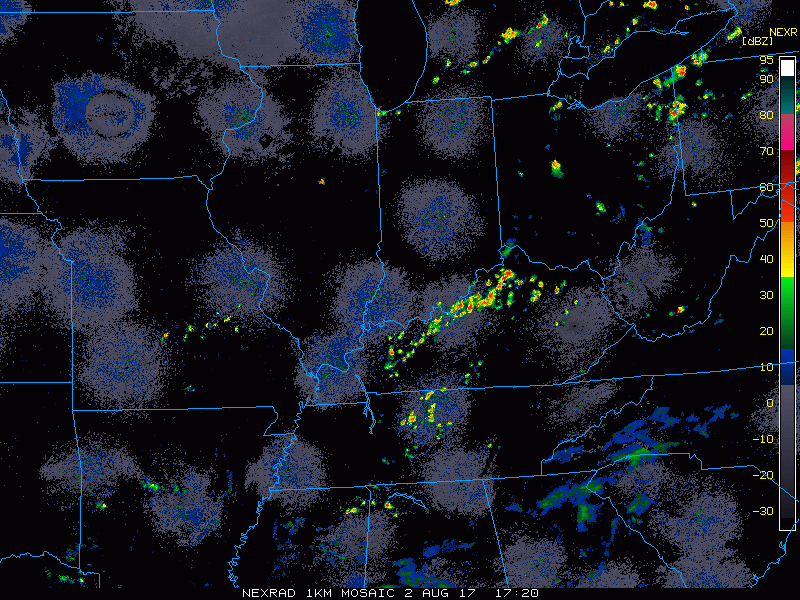
As we go through the rest of the day, isolated to widely scattered storms will develop with coverage of 30-50%, with highest coverage looking to set-up over southern portions of the area. Watch for locally heavy rains to set-up along with plenty of lightning. Similar to yesterday, storm coverage will decrease beyond sunset.
An approaching cold front will bring the risk for a few severe storms Thursday into Friday. The Storm Prediction Center has placed a slight risk across northern/central Illinois and northwest Indiana Thursday, with a marginal risk surrounding that. The severe threat shifts east to Ohio/Kentucky on Friday. Damaging wind and hail will be the main threats.
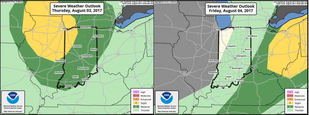
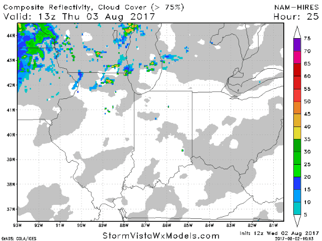
Storm activity is expected to gradually increase as we go through the day Thursday into the overnight hours, as a potent system tracks into the Great Lakes with an associated cold front moving into the region. Greater dynamics will support the risk for a few severe storms as mentioned above. The front will continue to shift eastward on Friday, with the severe weather risk continuing across Ohio, with drier and cooler conditions filtering in behind the front. Posted below is the hi-res NAM future radar from 9am ET Thursday to 8pm ET Friday.
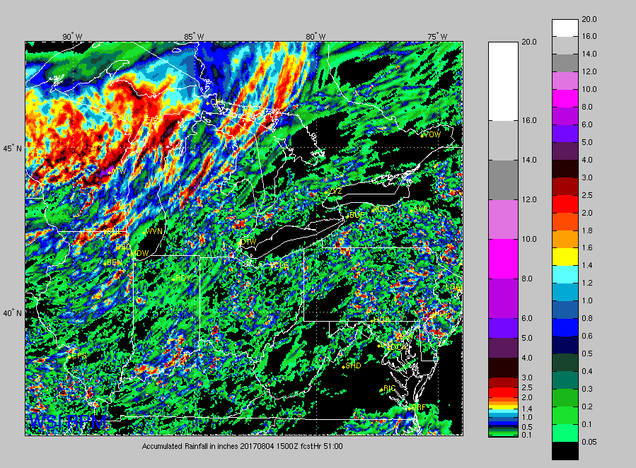
Rain amounts through Friday will be very hit or miss, with areas that get under the storms seeing locally 1-2″+ amounts.