#ILwx #KYwx Periodic Storm Chances Through This Week. E.
Key Points: July 3, 2017
Synopsis: Good Monday morning! Hope you’re having a wonderful holiday weekend. We are tracking a storm risk here this afternoon along a weak boundary along with warm conditions. We are also watching a complex of storms that may bring rain and storms along the Ohio River this evening into the overnight. Periodic storm threats will continue through the week along with increasing humidity. Drier risks do exist as we enter next week along with cooler conditions expected for next weekend. Have a blessed day and a blessed Fourth!
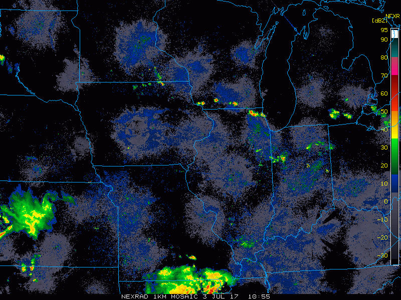
Current radar shows a few storms in northern areas this morning.
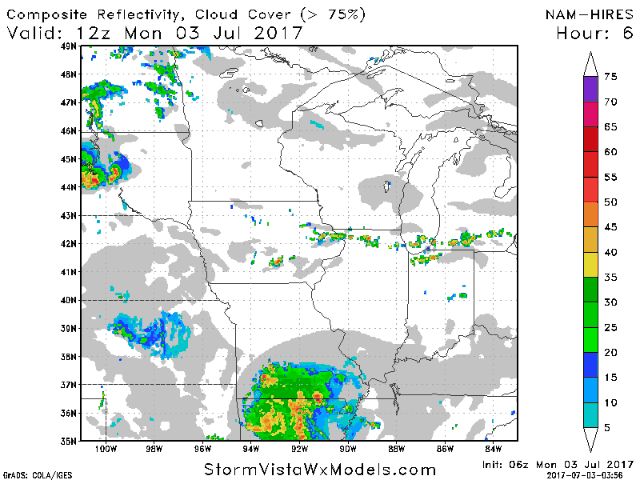
The weak boundary will spark some showers and storms this afternoon. The projected radar is shown below.
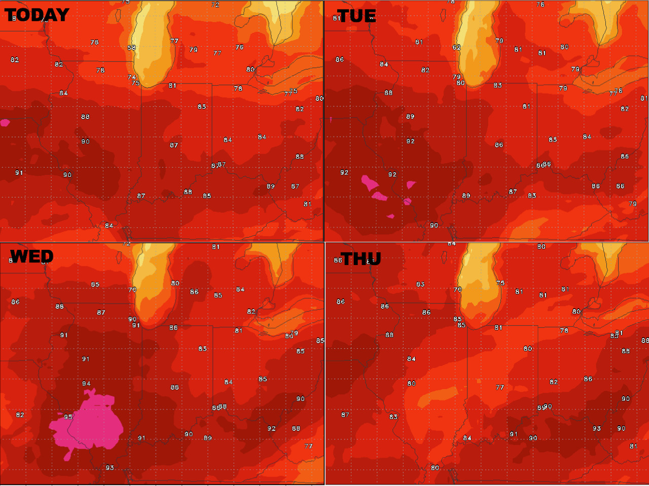
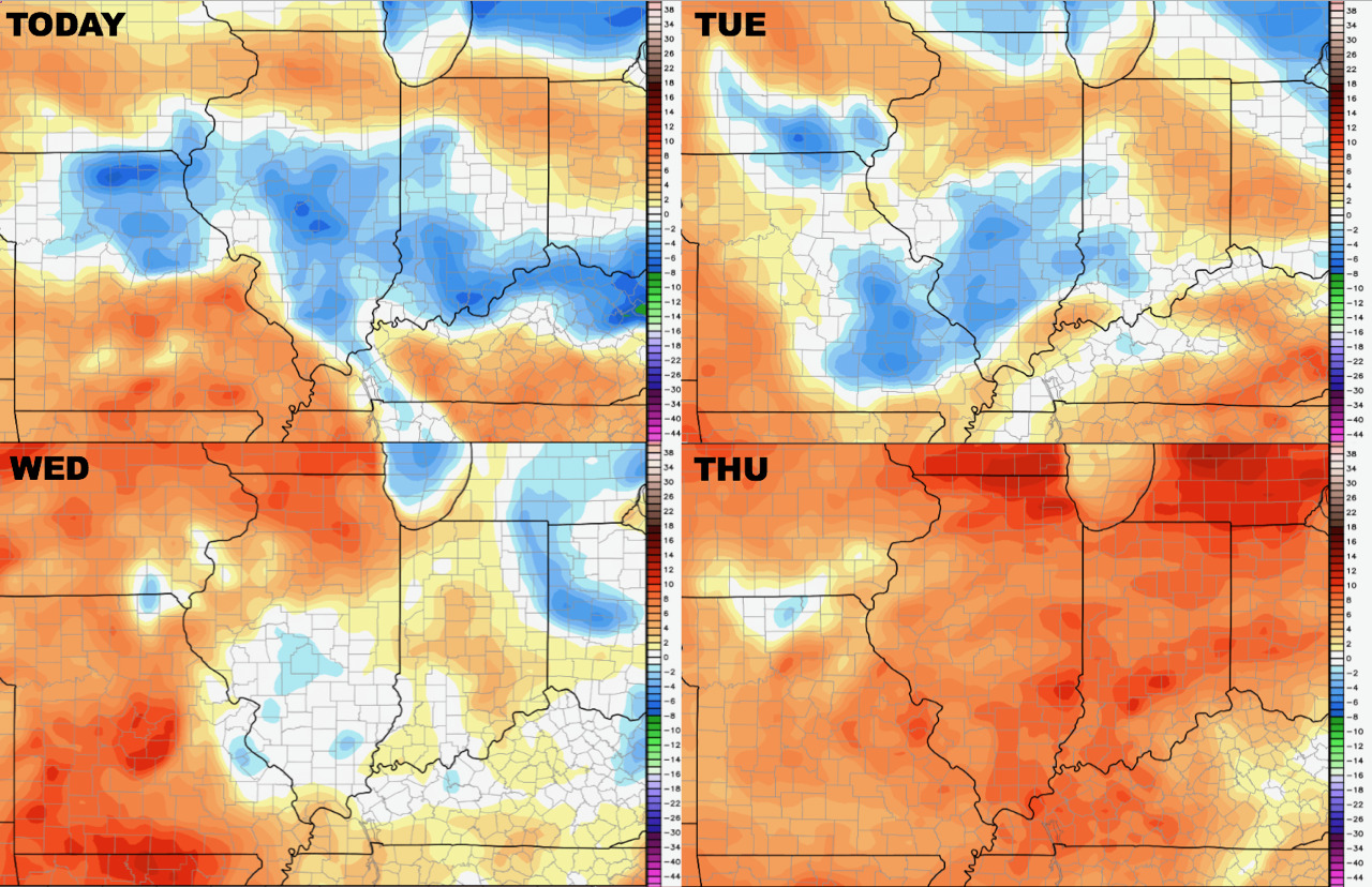
Next 4 days of temperatures are shown below.
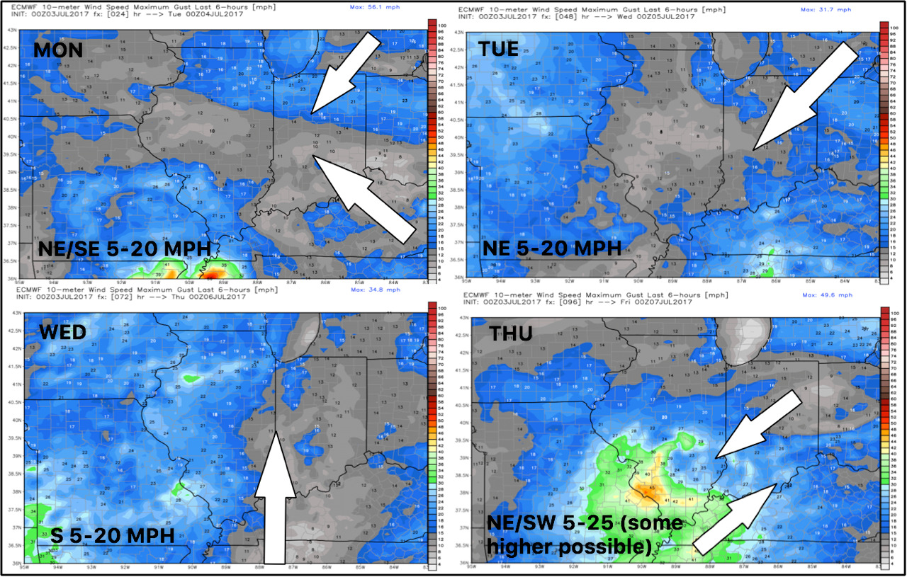
4 day wind forecast is shown below.
Humidity stays seasonable early this week, then rises later in the week.
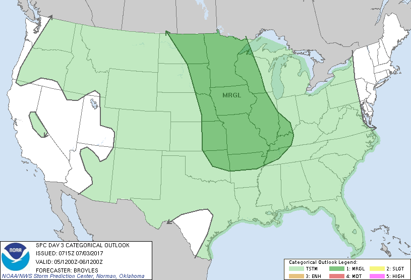
The best threat for storms looks to be Wednesday at this time, with the SPC issuing a marginal risk.
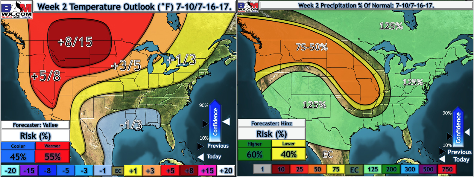
Week 2 looks drier, but does not look overly warm at this time either. Our forecast is below.
Confidence and Risk:
- Above average confidence in near to slightly warmer than normal conditions early this week, trending below normal by the weekend.
- Above average confidence in storms being around through most of the week, but exact track of these storms is a bit uncertain.
- Increasing confidence in drier conditions for week 2, but it looks to remain near normal overall for temperatures.
Today’s Video (6 minutes):