#ILwx #INwx #OHwx Discussing flash flooding and heavy rainfall potential. K.
Synopsis: Good Wednesday afternoon! Multiple heavy rain chances through the weekend are discussed in today’s video, it’s certainly a relentless pattern. The rainfall is situated mainly across Indiana and Ohio through Thursday, we have another wave moving west to east later Friday into Saturday that has heavy rainfall and even strong storm potential and then of course some additional heavy rainfall coming via a low pressure system this weekend. Have a blessed day!
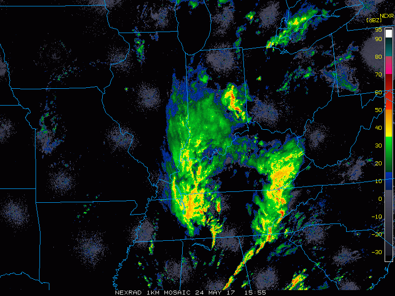
Current Radar:
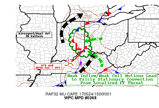
A new mesoscale discussion was issued today as well that outlines the risk area for flash flooding and rainfall totals over 3″+.
Simulated Radar through Thursday…there will be times where very heavy rainfall will be falling and brief periods where it’ll be rain-free…it’s just the nature of an upper-level low pressure system. We still feel the risks of some small hail and isolated cold-air funnels will be possible. Locations across eastern Iowa into Illinois have more of an isolated shower threat here.

Total rainfall through Thursday…there will be isolated spots of 3-4″+ here, and other locations that may see very little rainfall in a small distance apart…again, it’s the nature of an upper-level low.

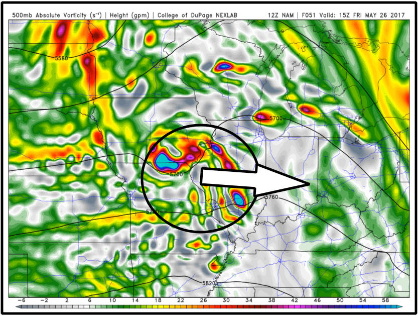
We mentioned in the video for a potential MCS (mesoscale convection system) Friday into Saturday morning, which is in simpler terms a strong cluster of storms and heavy rainfall. Models typically do a poor job at predicting the track and rainfall intensity of MCS’s, we need to watch for this cluster to take a dive southeast which is common for the Midwest.
Confidence:
- High confidence showers and storms, some being heavy continue across eastern Illinois into Indiana and western Ohio today through Thursday.
- Average confidence for some small hail and isolated cold-air funnels in these same locations as well.
- Average confidence in the details of the strong cluster of heavy/strong storms move through later Friday into Saturday.
Today’s video (6 min):