#ILwx #INwx #OHwx Thurs Short-term:
Synopsis: Good Thursday afternoon! Today we discuss the precipitation moving through overnight and our concern for a few slick spots initially Friday morning before temperatures and rain overcome any areas that may be slippery. We discuss temperatures and weekend weather as well. Have a great day!
Latest satellite/radar:
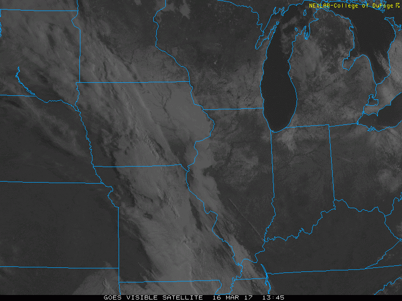
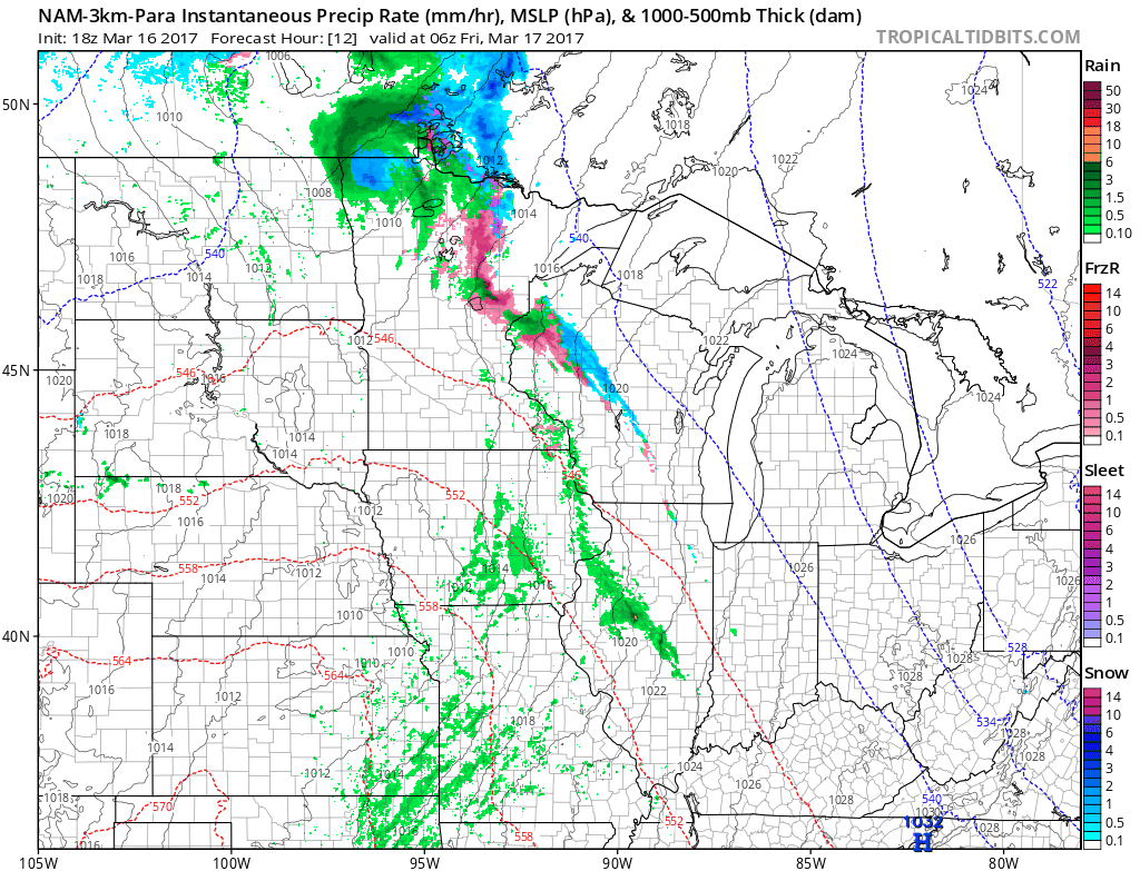
Simulated radar…expecting a few spotty rain showers overnight..it’s around 7am across Zones 1/2 where I’d be watching for a few locations changing over to some wintry precipitation as this disturbance moves off to the east. Temps warm quickly on Friday so most locations will stay all rain for this event. Rainfall totals of 0.1-0.25 expected.
Thoughts on where slick spots may occur before temps warm and precipitation becomes all rain mid-to-late morning:
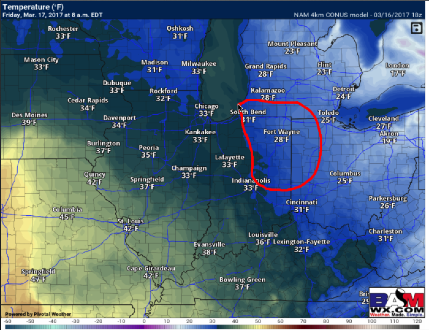
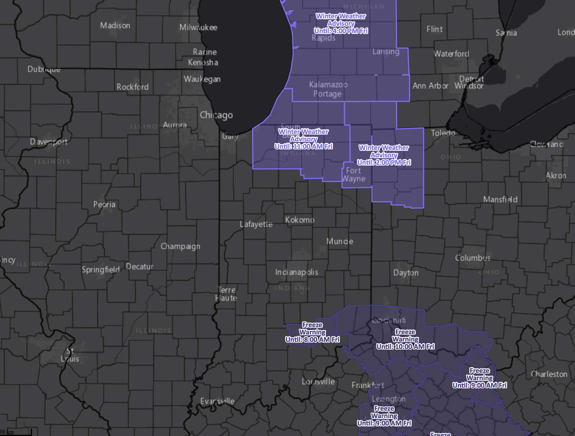
Current winter weather advisories match up fairly well with where we think some slick spots may develop mid-to-late morning.
Confidence and Risk:
- Above average confidence scattered rain showers with a little wintry mix possible (east) as a disturbance moves across the Midwest tonight into Friday.
- Average confidence of a few slick spots where that changeover to wintry precipitation may occur across S MI, N IN, and NW OH.
- Above average confidence we will see a fair amount of sunshine and mild temperatures this coming weekend as this disturbance passes east.
Today’s video (4 min):