#ILwx Hit and Miss Rains This Week With Seasonable Temperatures. Details Here. E.
Key Points: May 30, 2017
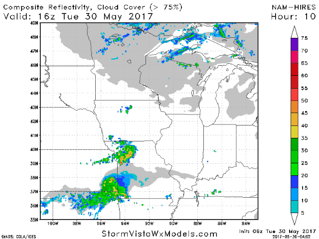
Synopsis: Good Tuesday morning! We hope you had a wonderful holiday weekend! We continue to track a cool pool of air aloft that will lead to some afternoon showers and thunderstorm chances through today. As this cool pool moves east through the week, the atmospheric pattern will set up in a “northwest flow” orientation, leading to seasonable temperatures along with hit and miss shower and storm threats. With that said, not everyone will be very wet. In fact, depending on storm tracks, some may be drier than normal while areas nearby are above normal – very tricky pattern to nail down. Regardless, note the threat for showers and storms will continue this week and likely beyond. Have a blessed day!
- The pattern today will be driven by a dome of cool air aloft, leading to some spotty showers and storms this afternoon and evening. Some may produce some small hail and gusty winds.
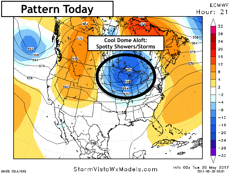
- Not everyone will see a shower or storm, but if you do, expect some briefly heavy rain.
- The pattern for the remainder of the week looks to be dominated by northwest flow. This is a classic “haves and have nots” pattern where not everyone sees significant rains, but those who do see rain can see some heavy amounts.
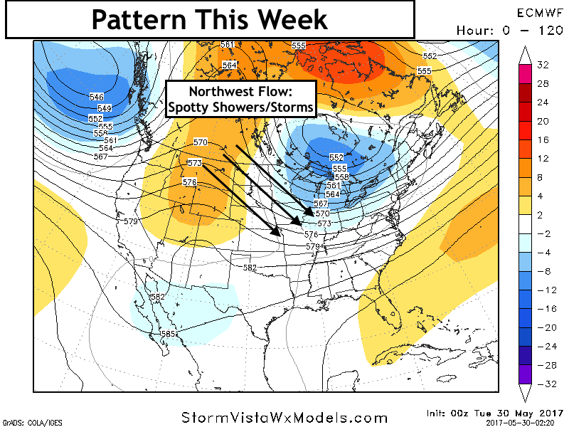
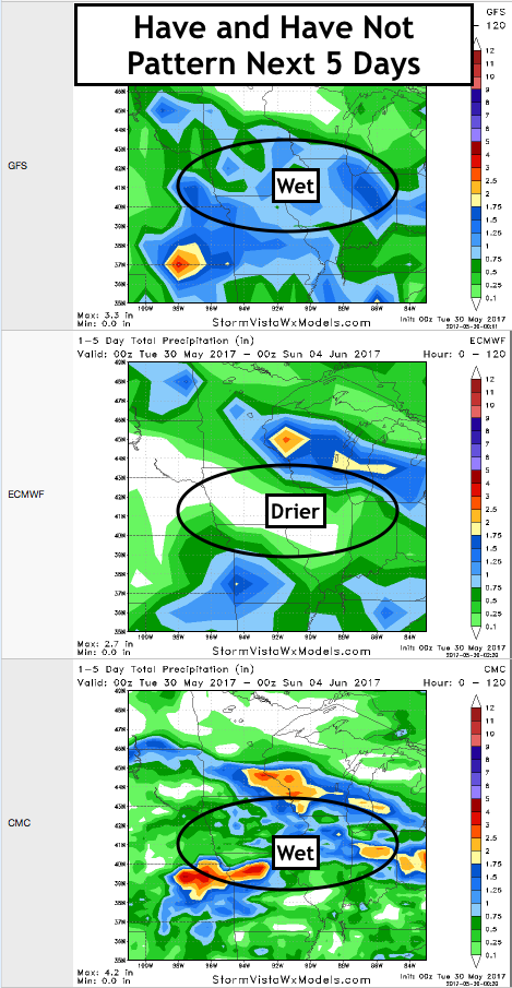
- Rainfall amounts are going to be very storm dependent. Here’s a look at our three main models this week. Notice, there are some differences based on where complexes of showers and storms track.
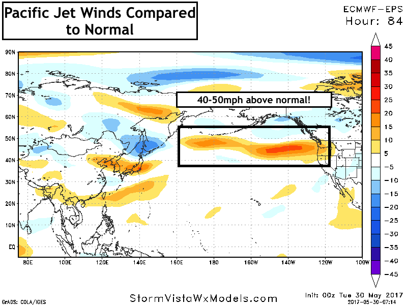
- Looking further out in time, we note that the Pacific Jet continues to rage into the weekend and beyond. This will continue the active pattern into week 2.
- Our week 2 precipitation forecast shows this threat well.

Confidence and Risks:
- Above average confidence in showers and storms today, but rainfall will be very track dependent. Not everyone will see rain today.
- Above average confidence in shower and storm chances continuing this week thanks to northwest flow. Again, very storm track dependent.
- Above average confidence in seasonable temperatures this week.
- Increasing confidence in an active pattern continuing into week 2 thanks to an active Pacific Jet.
Today’s Video (8 minutes):