#ILwx #AGwx Zone 3/4 Hard Frost North Tonight, More Heavy Rains Coming Mid-to-Late Week. Details Here! E.
Key Points: May 2, 2017
Synopsis: Good Tuesday morning! Today’s topics will include some patchy frost across northern Illinois tonight, as well as another rainfall event for Wednesday and Thursday, particularly across southern and central Illinois. We look to get some dry time and sunshine to end the week before another weak system brings some showers Saturday. Overall, a chilly pattern compared to normal looks to hang around through week 2. This along with the midweek rain event will not help any field work ongoing across the region. Have a wonderful day!
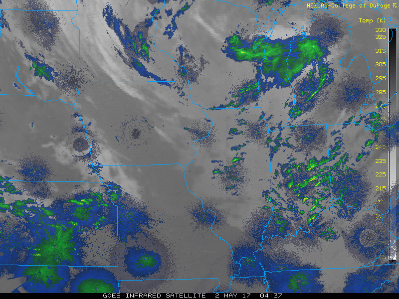
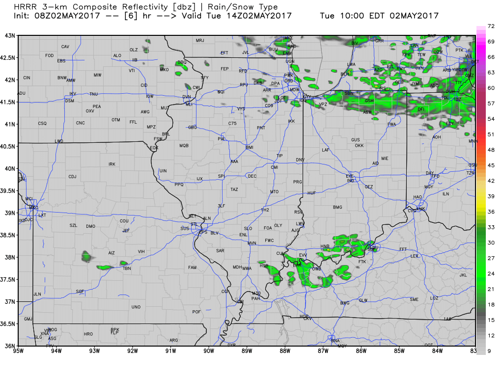
- Current radar showers a few spotty showers across northern Illinois – these will hang around mainly north and east of I-74 through today.
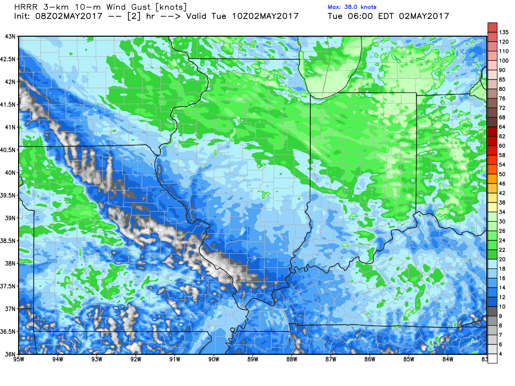
 The bigger story today will be the gusty winds. Most places will gust past 30 mph, with some past 40 mph! It wouldn’t shock me to see some wind advisories around through the afternoon, but regardless prepare for some blustery conditions once again today.
- 30-40% coverage in showers will be found northeast of I-74 today with dry conditions south.
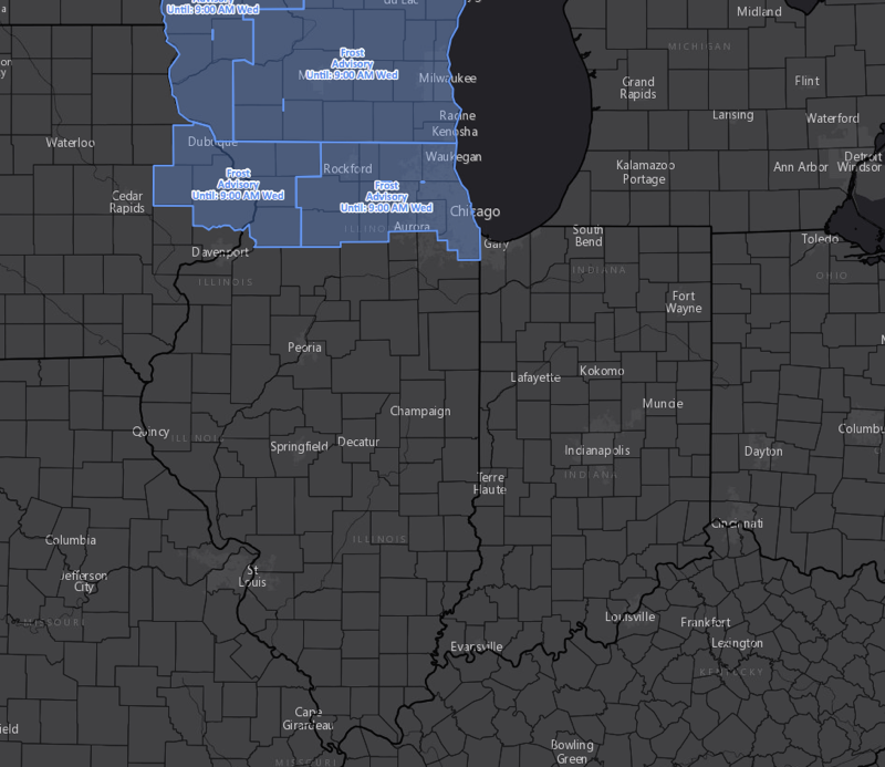
- Temperatures tonight will dip into the low to mid 30s north along with high relative humidity leading to a hard frost threat. Frost advisories are up for northern parts of the Illinois into Wisconsin.
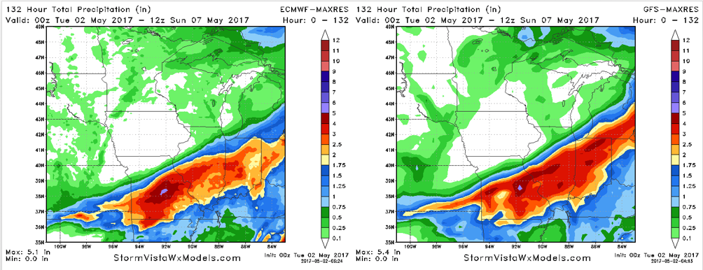
- Our next rain maker arrives Wednesday across southern Illinois and spreads northward through the afternoon and evening. Rains will continue Thursday and Thursday night before exiting Friday. There will be wide ranging impacts from northwest to southeast across the state discussed in the video so make sure to watch!
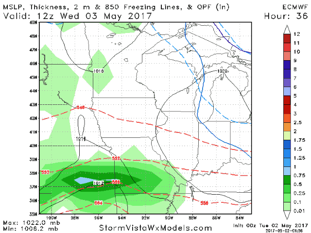
- As discussed yesterday, models were in disagreement. They have come into agreement overnight with another 2-4 inches of rain for some places that have already seen 10-15 inches over the last 7 days.
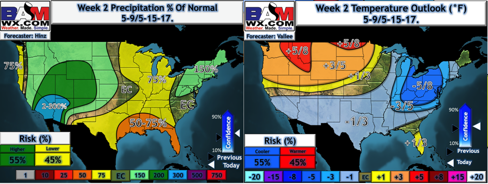
- A cool pattern likely lasts into week 2, but we are eyeing some dry time during this time as well.
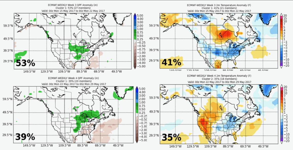
- The new Euro weeklies came in last evening and they continue to show a cool, active pattern into weeks 3 and 4 via the top member clusters.
Confidence and Risks:
- Above average confidence in a few showers north today along with windy conditions.
- Above average confidence in a hard frost north tonight.
- Above average confidence in heavy rains central and south Wednesday through Thursday night.
- High risk forecast across northern Illinois as any subtle shifts north or south will impact rainfall amounts significantly.
- Increasing confidence in a cool, but drier pattern developing for week 2.
- Average confidence in a cool pattern with near to slightly wetter than normal conditions developing in weeks 3 and 4.
Today’s Video (7 minutes):