Key Points – Tuesday, September 12, 2017:
Synopsis: Good Tuesday morning! The remnants of Irma are bringing clouds into portions of the region this morning, along with a few showers into southeast Missouri. The focus for showers will remain across southeast Missouri for much of the day, but there will also be the threat for a few scattered storms working into Nebraska late this afternoon through tonight. Additional minor storm chances into late week, but the best chances come around Saturday as a cold front moves through the region. Also looking at very warm, summer-like temperatures through late week. Detailed analysis in today’s video. Have a blessed day, and let us know if you have any questions!
Today’s video (7:30):
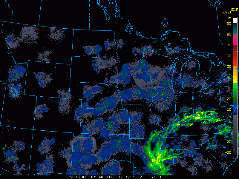
Radar loop from 8-8:20 this morning shows showers working into southeast Missouri associated with the remains of Irma. The rest of the region remains dry.
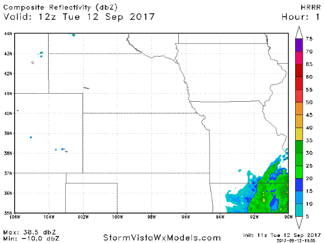
Latest HRRR model future radar shows scattered showers working a bit further west across the southeast half of Missouri this afternoon, as well as a few storms firing across Nebraska late today.
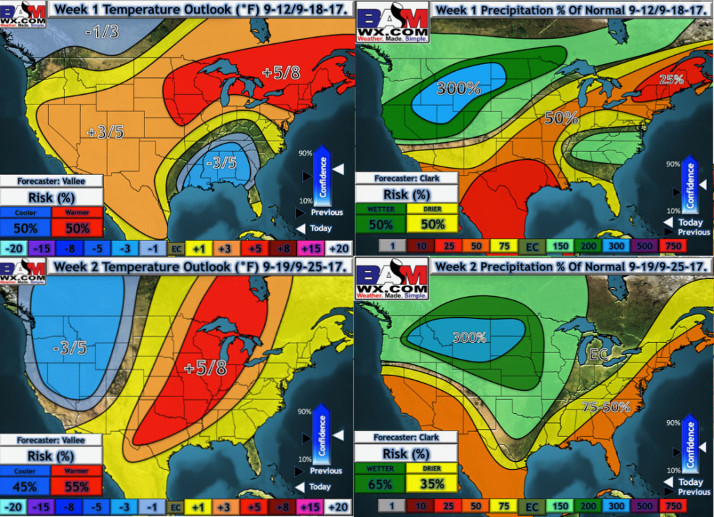
Our latest weeks 1 and 2 temperatures and precipitation from normal outlooks:
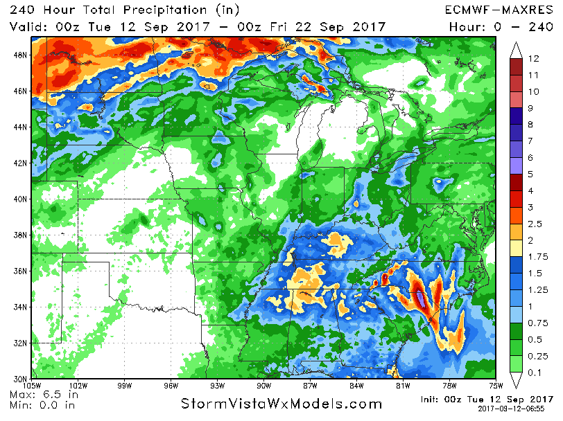
10-day rainfall accumulation off the European model is shown below. While the best focus of storms will be just to our north late this week, rain chances do increase this weekend and again as we go into week 2.
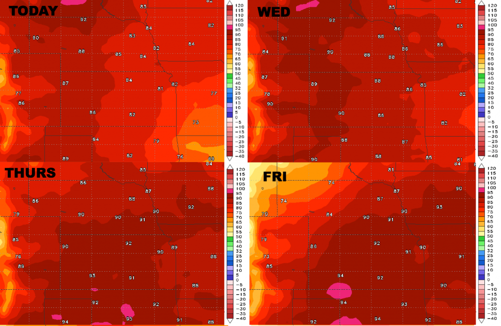
High temperatures through late week:
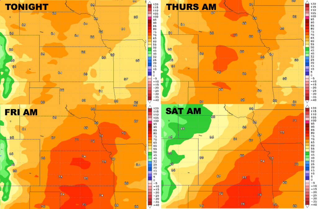
Low temperature guidance through late week:
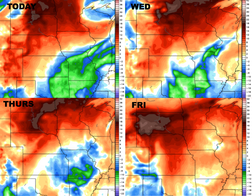
Dew points from normal:
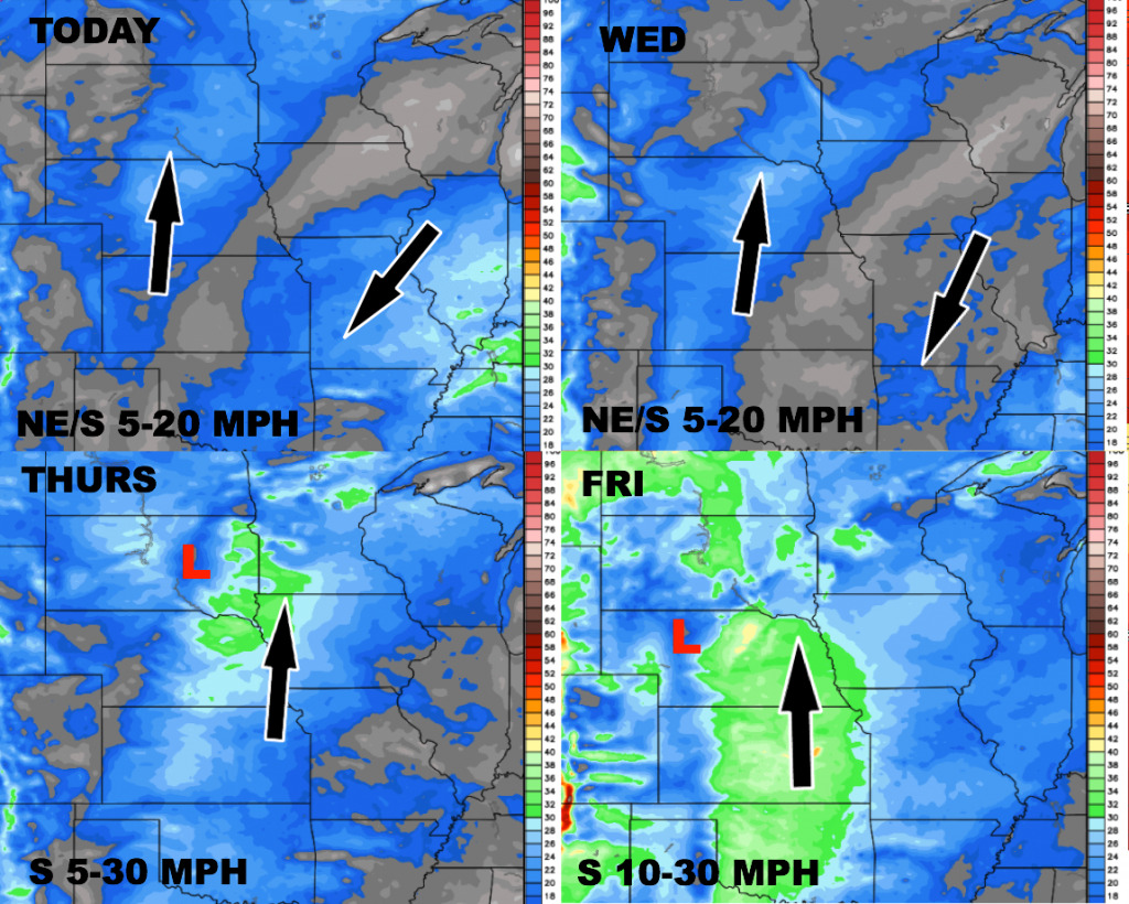
Wind forecast over the next 4 days: