Key Points – Tuesday, September 26, 2017:
Synopsis: Good Tuesday morning! Rains will continue to gradually wind down through the day, with a drier trend for the rest of the week. Targeting southern and western sections of the region for additional shower chances mid-week, then the next best chance for rain area-wide late Sunday into Monday as a disturbance moves in. Temperatures will be pleasant for the rest of the week (minus lingering heat in the east today). More details in today’s video. Have a blessed day, and let us know if you have any questions!
Today’s video (6 min):
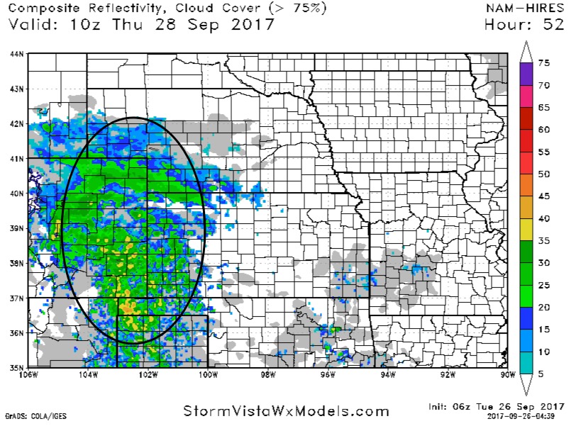
Here is an animated radar loop from 8-8:30 this morning:
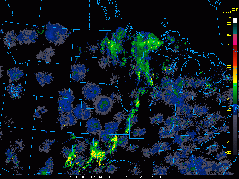
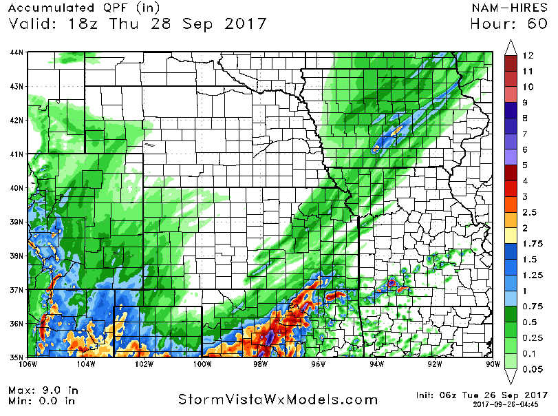
The rainfall event continues to gradually wind down, could still see localized heavier showers today from eastern Kansas, northwest Missouri, and central Iowa. Most of this falls from this morning into the afternoon, with rains lingering in southern Kansas. Below is a look at additional rainfall potential:
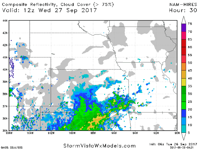
It’s a dry forecast for many areas by tomorrow, but note the southern half of Kansas and southwest Missouri will have the potential of a few additional showers. Outside of that, a pleasant day!
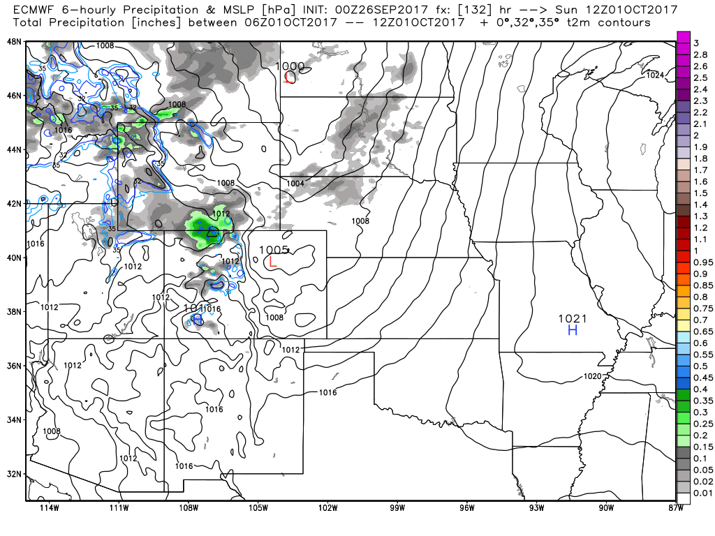
Watch for some shower chances in western Kansas and Nebraska on Thursday – outside of that it should remain dry and rather nice.
Targeting the next chance for more widespread rains late Sunday into Monday as a disturbance moves across the Plains.
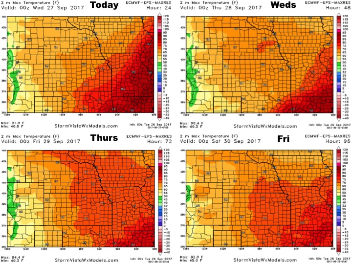
High temperatures over the next 4 days:
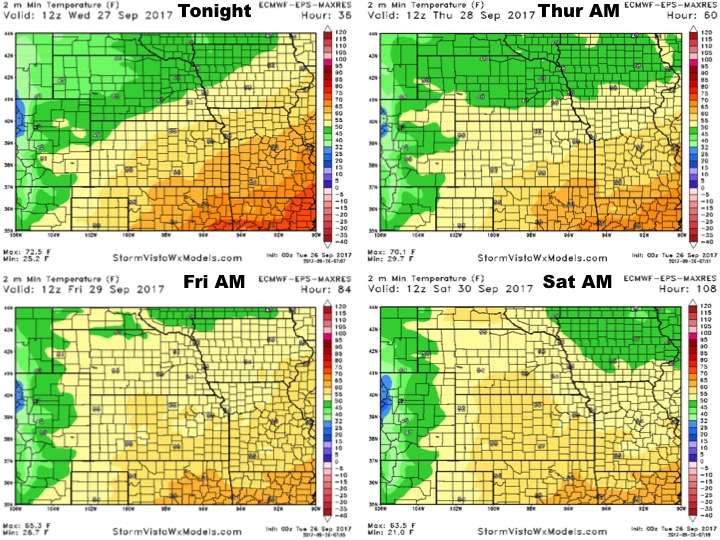
Low temperatures over the next 4 nights:
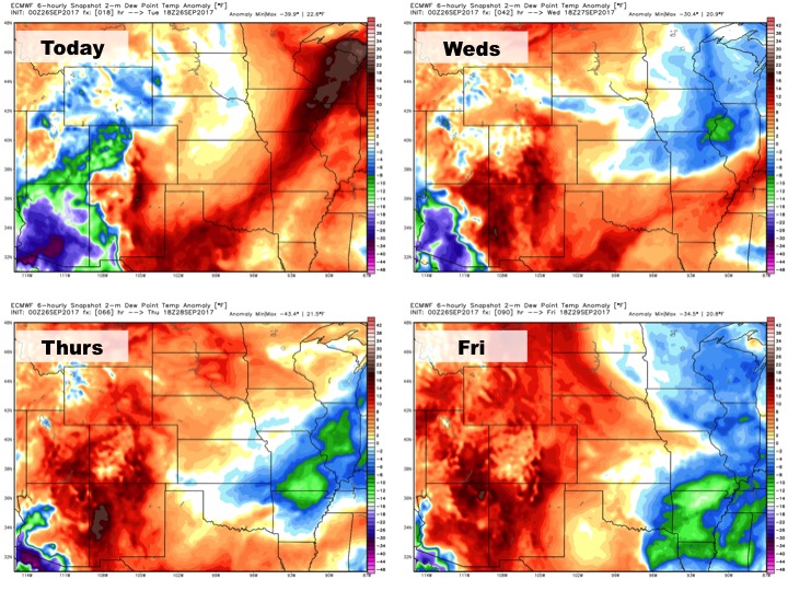
Dew points from normal:
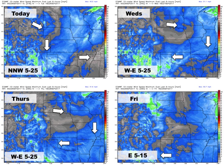
Wind forecast over the next 4 days: