Key Points – Monday, September 11, 2017:
Synopsis: Good Monday morning! Much of the region is quiet this morning with mostly clear skies and warmer temperatures. A few showers across portions of northern/western Nebraska, and this area will have the risk for a few showers through the day. Otherwise, most locations are mostly sunny and dry. The remains of hurricane Irma will spread some clouds into southeast portions of the area on Tuesday, with a few showers across southeast Missouri. The rest of the region stays mainly dry until late week and into the weekend with rainfall chances will be on the rise as a cold front moves through this weekend. While rainfall may not be widespread, this appears to be the best chance for rain over the next week. It appears the pattern becomes more active next week and beyond. Much more in today’s video. Have a blessed day, and let us know if you have any questions!
Today’s video (6 min):
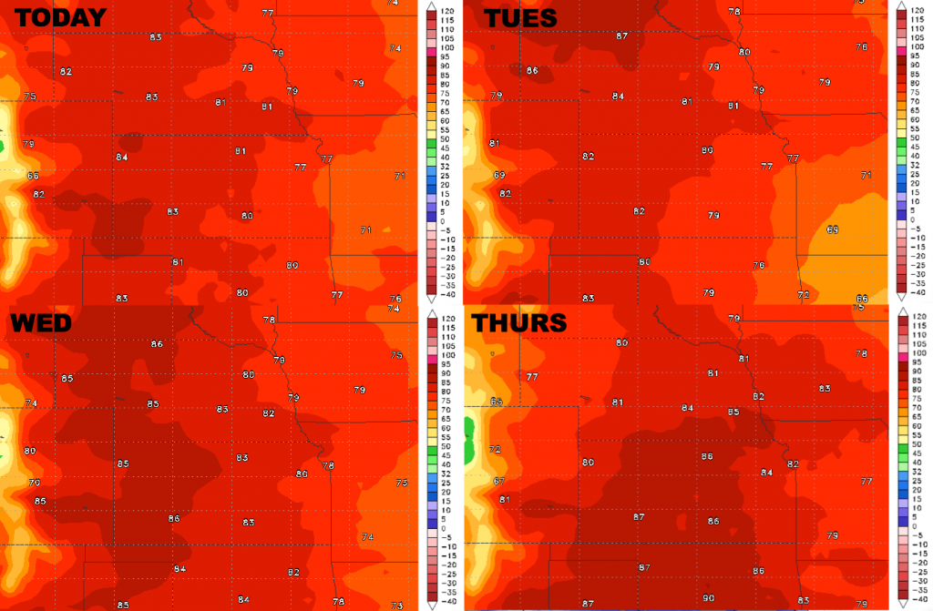
High temperature guidance over the next 4 days is shown below. Overall it is a warm week across the region. Briefly cooler in southeast Missouri on Tuesday with clouds/showers from the remnants of hurricane Irma.
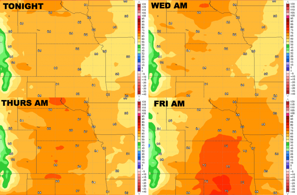
Low temperatures over the next 4 days:
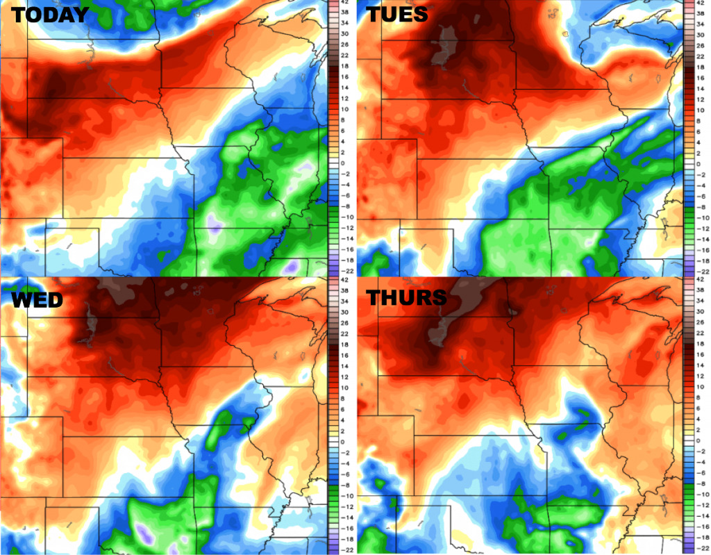
Dewpoints from normal:
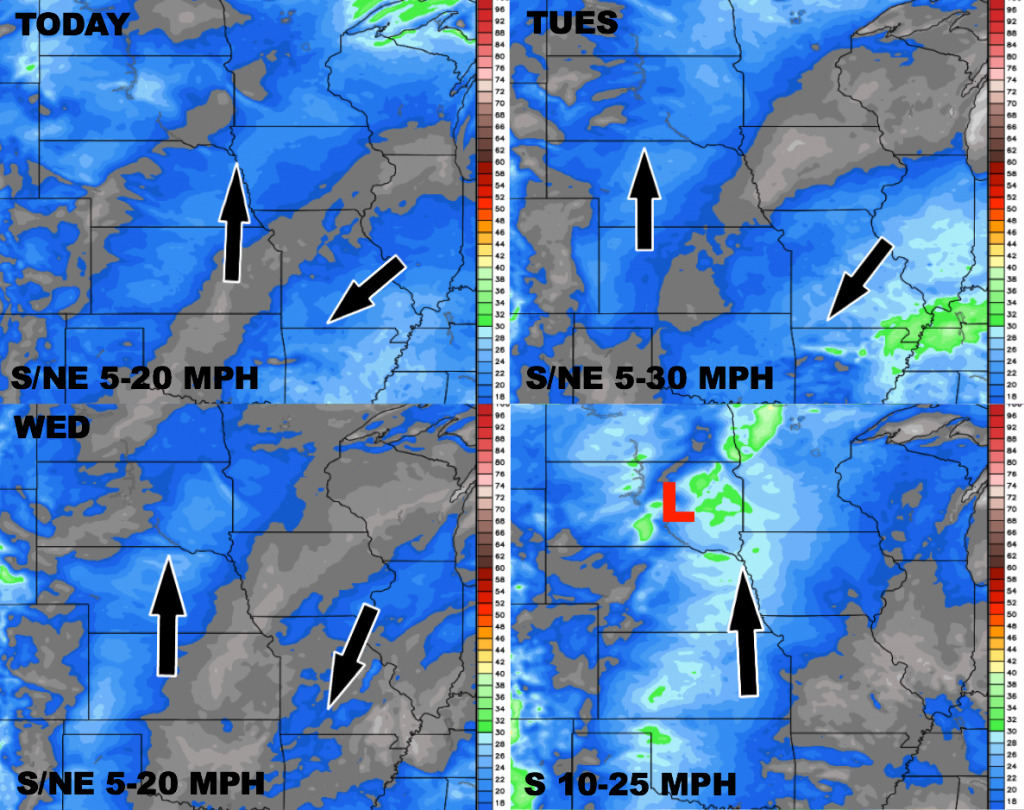
Wind forecast over the next 4 days: