Key Points – Friday, September 22, 2017:
Synopsis: Good Friday morning! Waking up to very warm and humid conditions on this first official day of fall across most of the region. A front working into Nebraska and far western Kansas will spark a few scattered storms going into tonight, and a few strong storms cannot be ruled out. This will be the beginning of a very wet period for the western Plains through the weekend into early next week with a heavy rain and flooding threat. Areas further east stay dry and hot under high pressure. This pattern starts to break down early next week allowing the front to push through the region and with time, much cooler temperatures filter back in. Details on rainfall amounts and placement in the video. Have a blessed day, and let us know if you have any questions!
Today’s video (7 min):
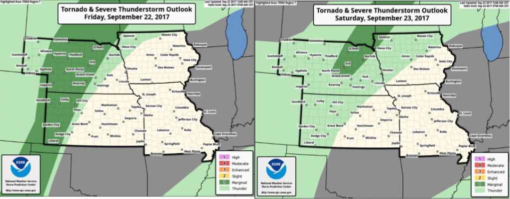
A few locally strong storms cannot be ruled out in areas from central Nebraska and western Kansas tonight with hail and gusty winds the biggest threat.
Heavy rain and storms will set-up across central Nebraska and western Kansas throughout the weekend, with the axis slowly working further east into Sunday. Much of Missouri, Iowa, and eastern Kansas stay dry all weekend along with very hot temperatures.
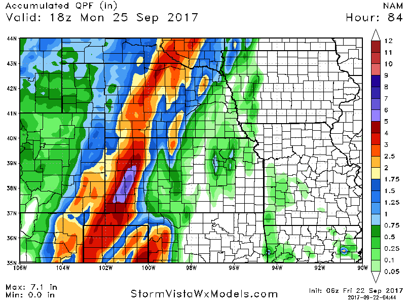
Rainfall totals will be quite heavy across the western portions of the region through early next week. A wide swath of 2-4″ from central Nebraska and western Kansas, but locally 5″+. Flooding will be a threat in these areas due to repeated rounds of heavy rain. Note the sharp cut-off in rain totals to the east where it stays dry.
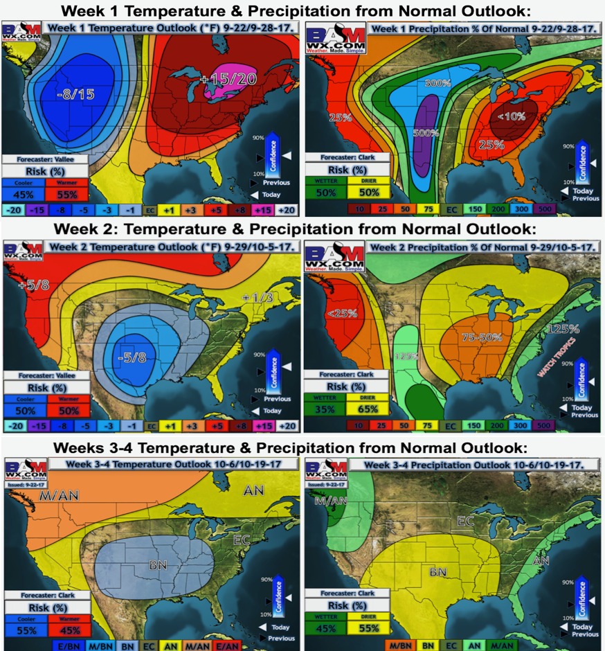
Latest temperature and precipitation and temperature outlooks suggest drier and cooler than normal conditions dominate in weeks 2-4.
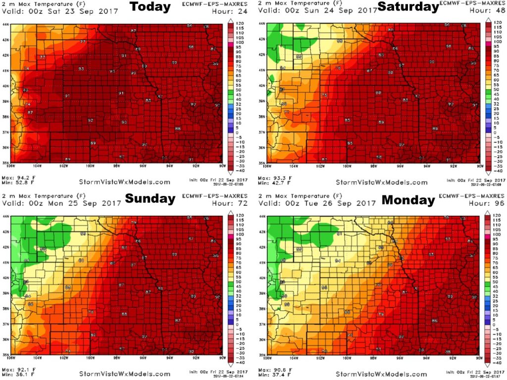
High temperatures over the next 4 days are shown below. Very warm for many areas into the weekend, trending SHARPLY cooler across the western half of the area into early next week behind the cold front.
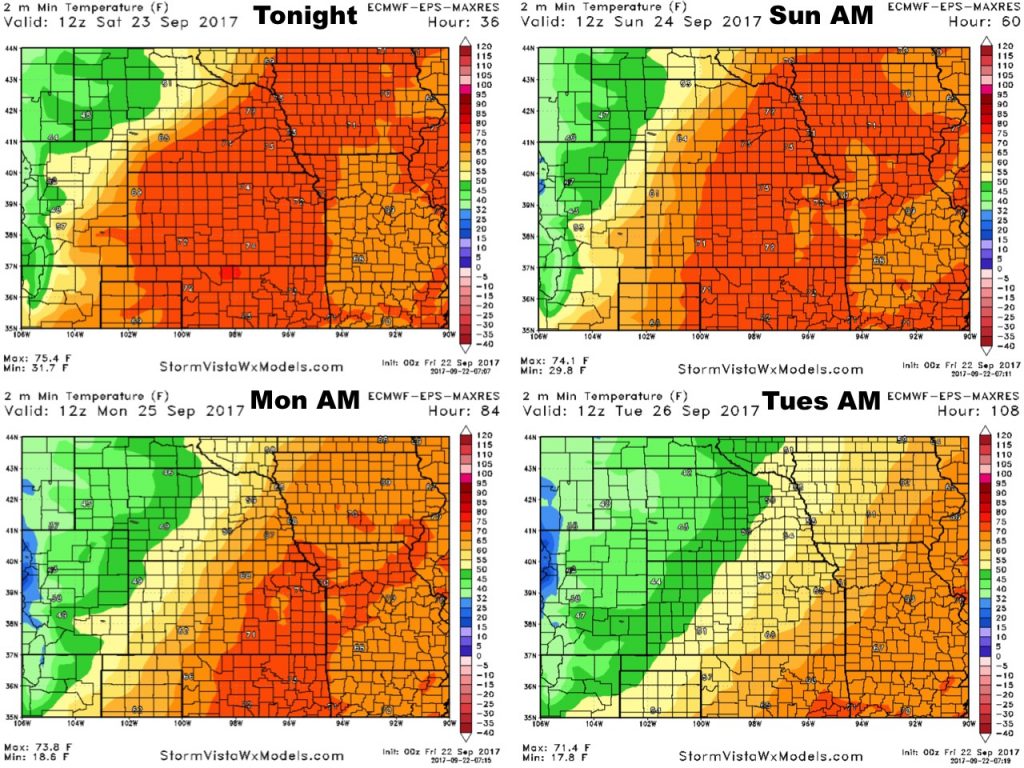
Low temperatures over the next 4 nights:
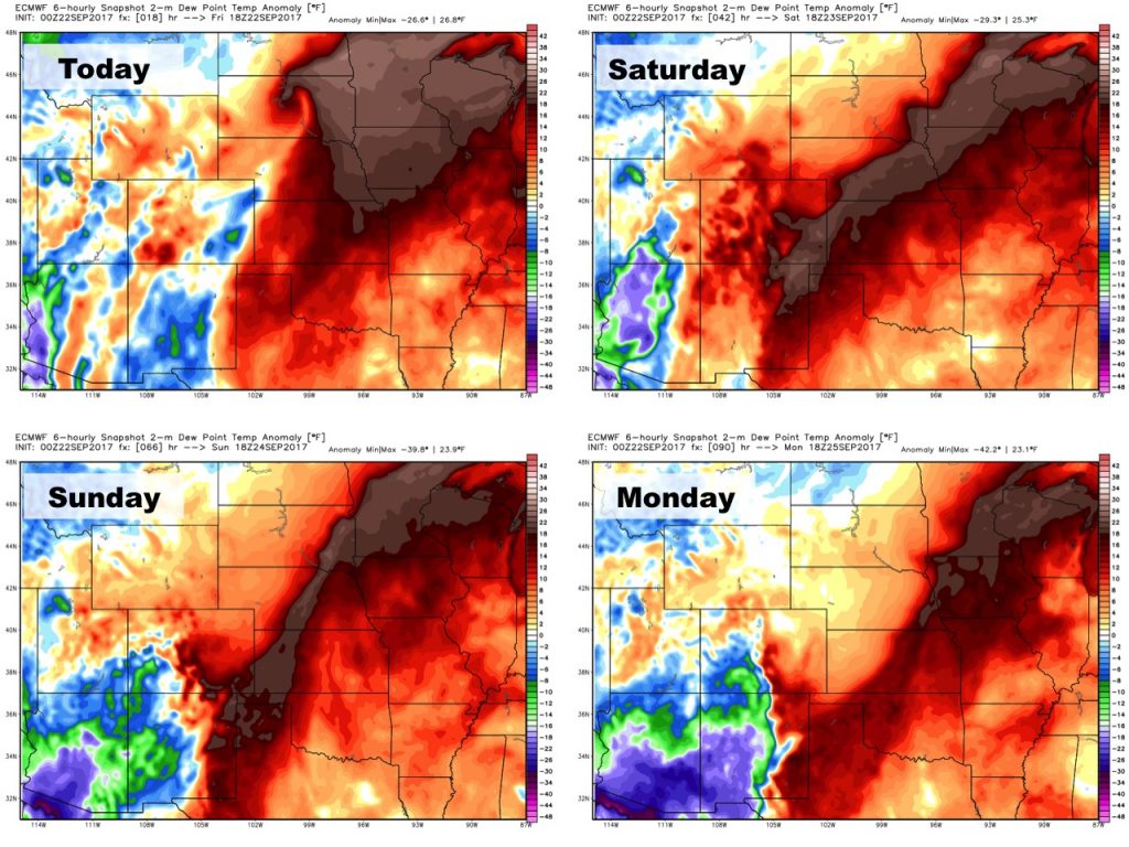
Dew points from normal:
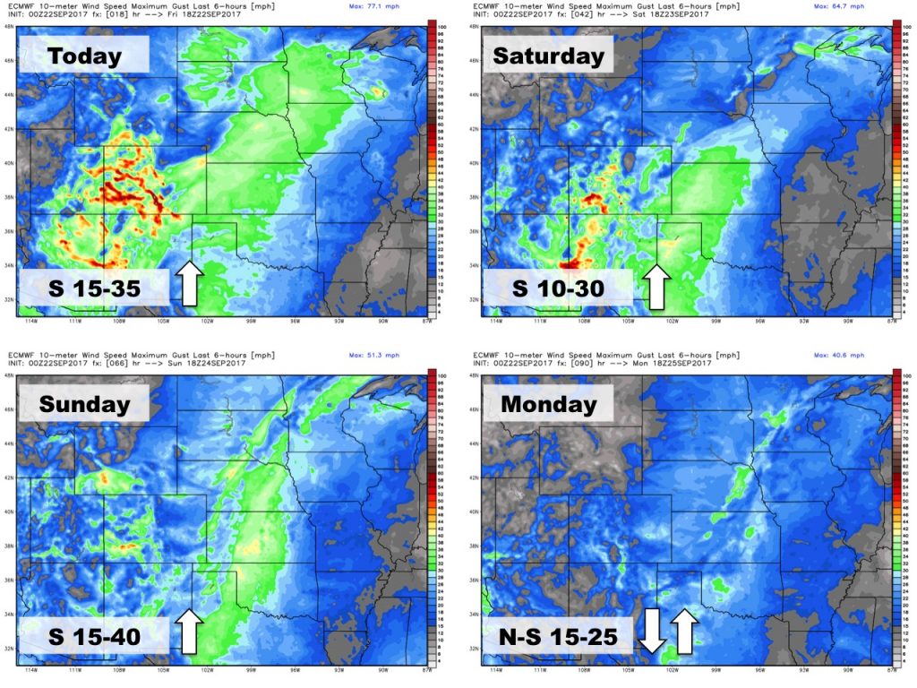
Wind forecast over the next 4 days: