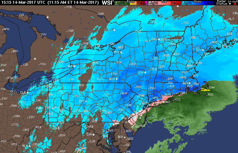
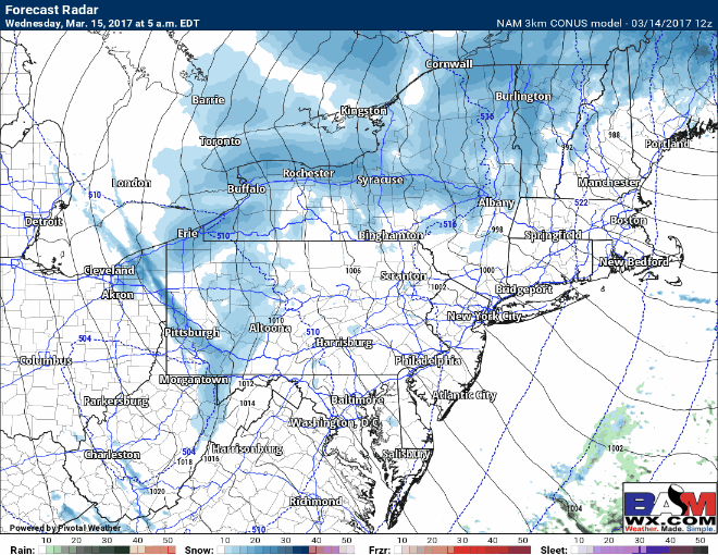
Quick 1:00 PM update with respect to ongoing conditions. Heavy snowfall rates of 2-5″/hour are ongoing across eastern PA into the Hudson Valley and interior southern New England. Rain and sleet now being reported across coastal NJ, Long Island, and coastal New England. Here’s the latest radar.
Given latest trends, I tweaked the snow map one last time. Latest thoughts:
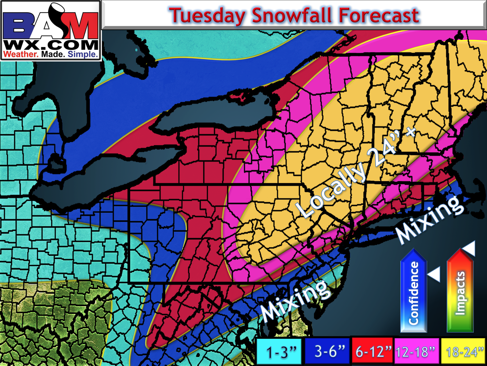
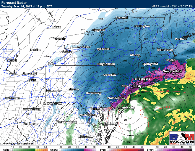
Snow will mix with sleet in many areas of the forecast region, with the exception of NW CT, the Hudson Valley, western MA, and NE PA. Rain will become the main precip type in coastal areas with some transition back to snow expected on the back side. The rest of the afternoon looks like this:
Behind the storm, I expect some clearing this evening, but temperatures will fall rapidly below freezing allowing whatever melts to refreeze. Winds will be gusty – past 40 mph overnight as well.
 Weather following the storm looks mainly tranquil for any clean up efforts, though some (mainly non accumulating) snow showers will be around throughout the day especially across PA, NJ, and NY. Winds will be pretty gusty, too!
 Have a wonderful afternoon and stay safe! ~Ed