#AGwx #NDwx #MNwx #SDwx #WIwx Severe Threat Tuesday Into Wednesday! E.
Key Points: June 26, 2017
Synopsis: Good Monday morning! A fairly quiet morning is ongoing across the region as cooler air continues to push eastward through the Ag Belt. Our next widespread threat for storms comes Tuesday night into Wednesday as a complex moves on through. This comes with a severe threat including a few tornadoes, damaging winds and large hail. Active times along with a roller coaster temperature regime is expected through the weekend with highest rainfall chances occurring across the eastern portion of the region. Have a blessed day!
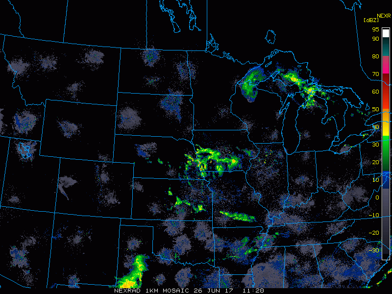
Current radar is fairly quiet this morning.
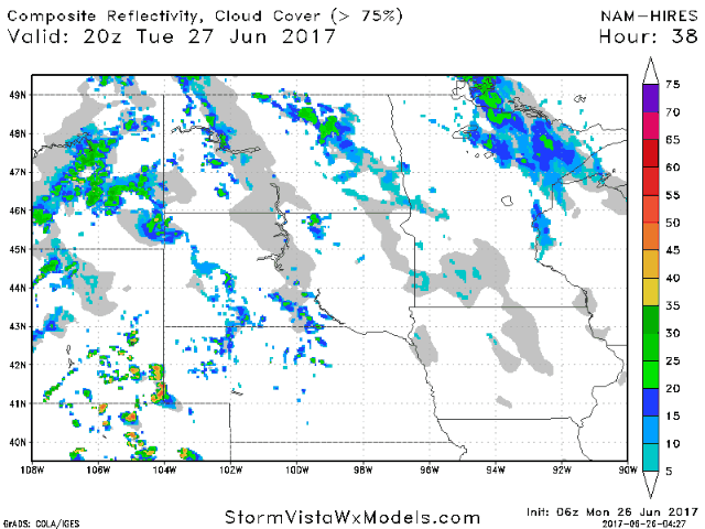
A quiet day is expected today, but a severe threat exists Tuesday evening into Wednesday, which is heavily discussed in the video.
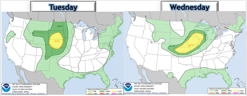
The SPC has highlighted the region for severe weather Tuesday evening west and Wednesday east.
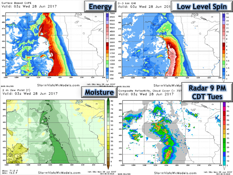
Here’s a look at the severe set up Tuesday evening.
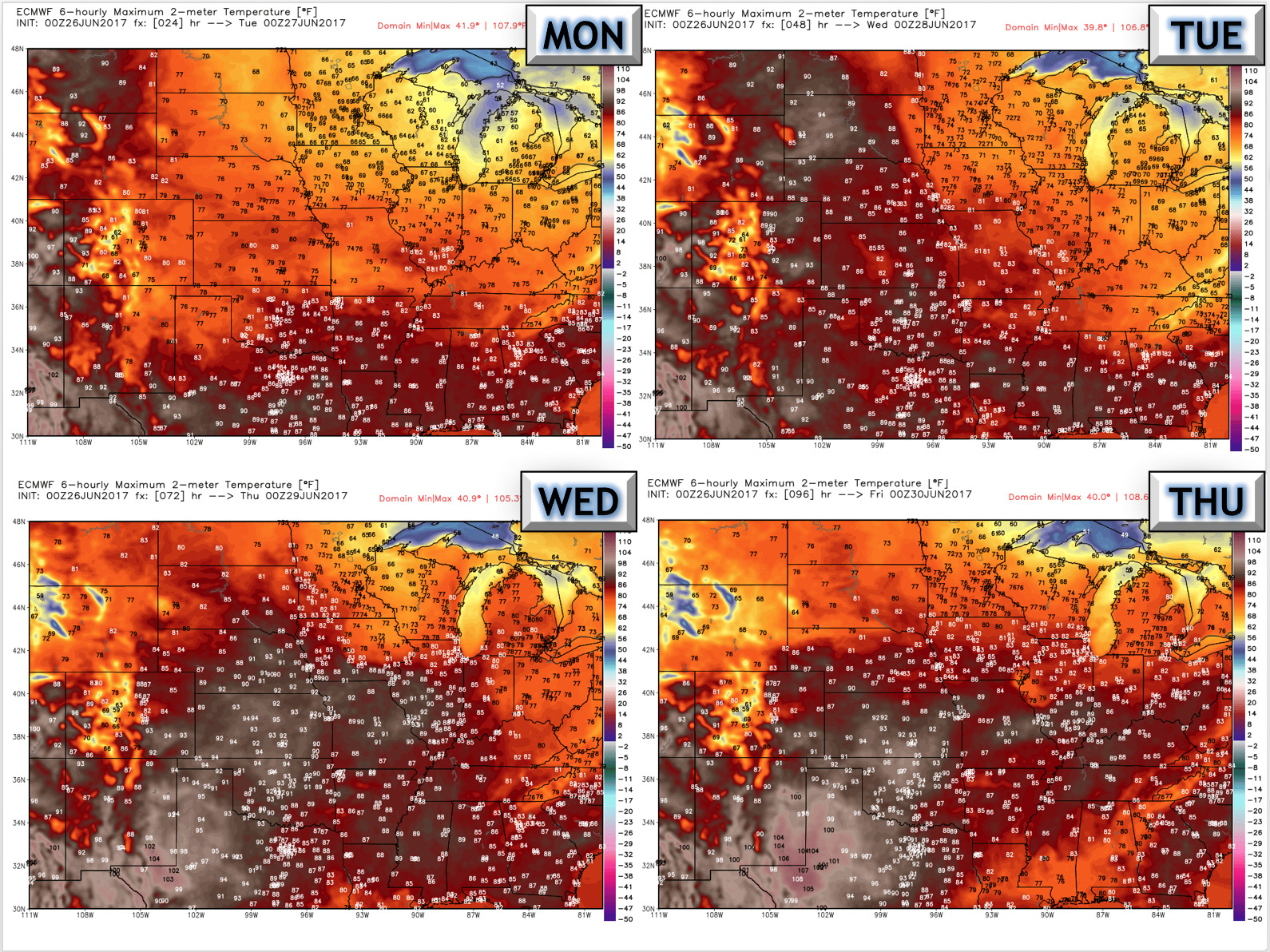
Temperatures over the next 4 days are quite variable.
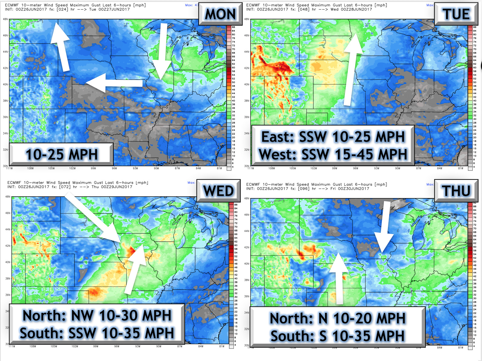
Winds over the next 4 days are shown below.
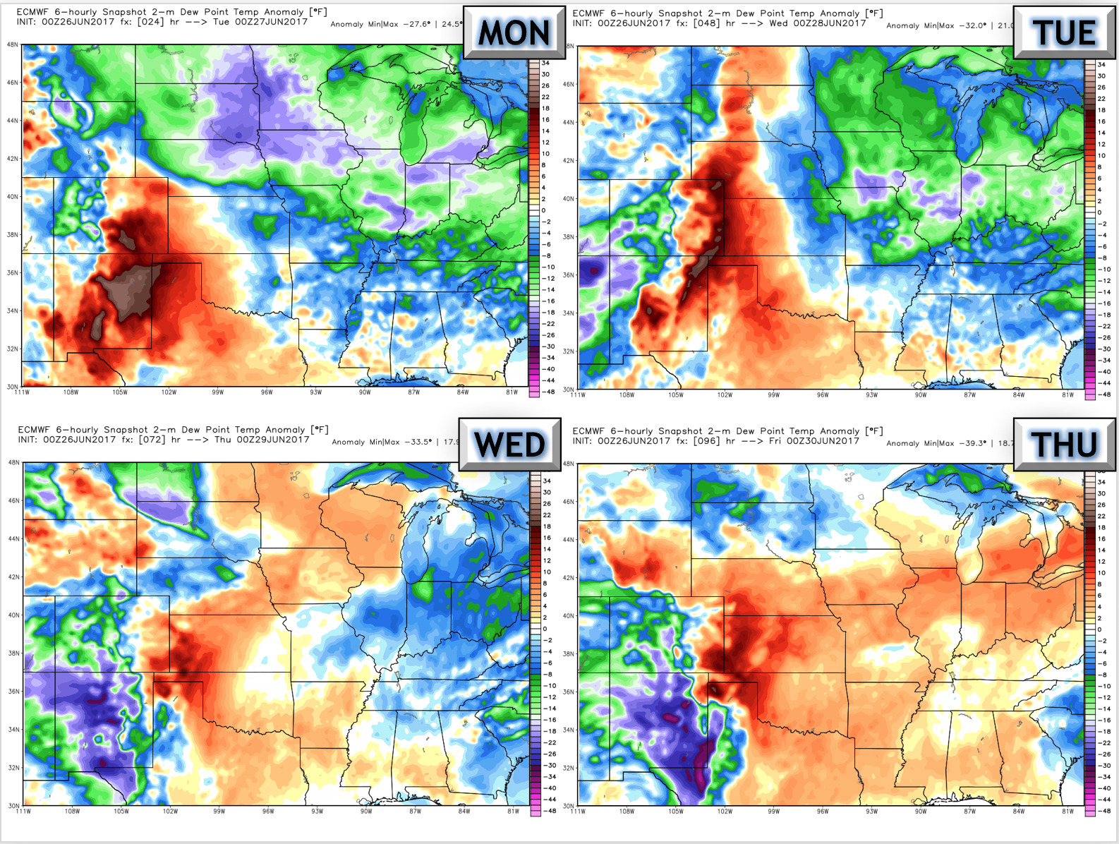
To begin the week, humidity looks low, but an increase is expected later in the week.
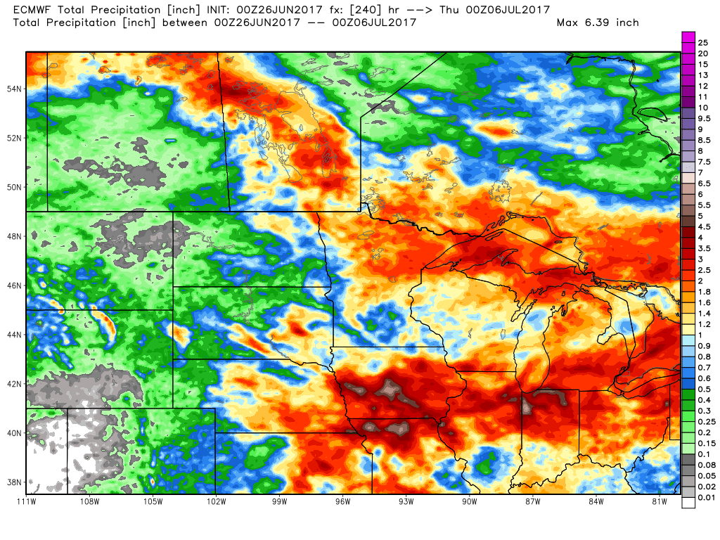
Total rainfall over the next 10 days is very storm dependent, but it does look highest east.
Confidence and Risk:
- Above average confidence in a severe threat Tuesday into Wednesday.
- Above average confidence in warmth midweek, with cooler conditions toward the end of the week.
- Increasing confidence in an active northwest flow continuing through week 2.
Today’s Video (6 minutes):