#AGwx #MNwx #NDwx #SDwx #WIwx Roller Coaster of Temperatures, More Active East? E.
Synopsis: Good Friday morning! We are tracking a cold front moving south of the region, ushering in much cooler air today. This cool regime will last through the weekend before we warm things back up next week, especially across the Dakotas. With the increase in heat midweek. we likely see an uptick in precipitation chances as well. Another shot of cooler air likely arrives later next week into the start of July. Have a blessed weekend!
Current radar shows the boundary to our south, with cooler air settling in.
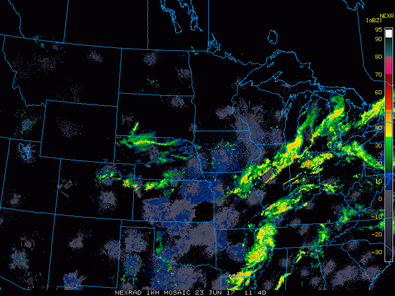
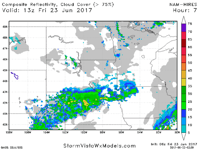
Outside of a few spotty showers, it looks to be a mainly dry day.
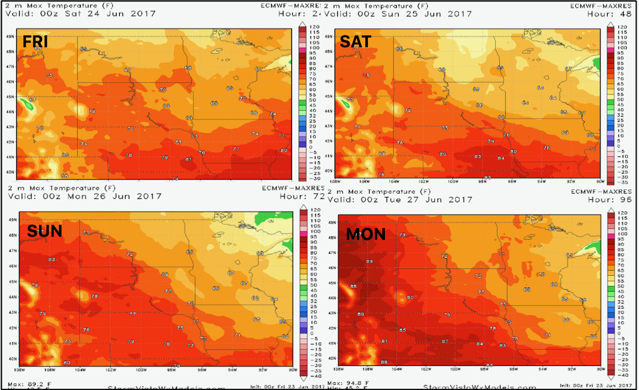
Temperatures over the next 4 days look largely cool, with a warm up early next week across the Plains.
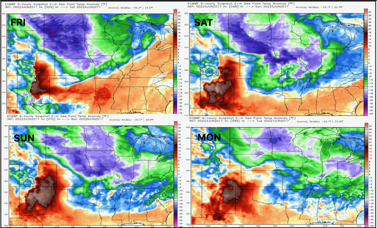
The dry conditions are shown well in our dew point anomaly maps.
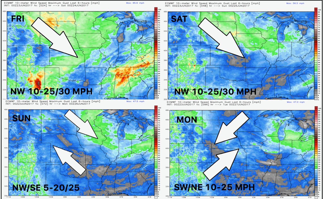
Winds over the next 4 days are shown below.
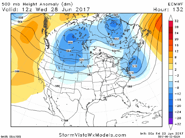
The upper pattern next week explains to roller coaster in temperatures well. More active conditions will accompany warm temperatures with our next rain/storm chance Wednesday.
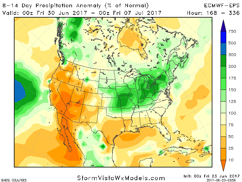
Week 2 looks cooler once again with a more active regime. Week 2 precipitation is shown below from the European ensemble.
Confidence and Risks:
- Above average confidence in cool conditions this weekend with a brief stint of heat next week before more cool conditions later next week.
- Above average confidence in our next significant rain/storm chance Wednesday into Thursday.
- Increasing confidence in near or above normal rains (especially east) and cool temperatures into week 2 and into the start of July.
Today’s Video (5 minutes):