Good Thursday morning! A weak disturbance overhead may spark a few isolated storms today, but the main story is the heat heading through the upcoming weekend, as temperatures run nearly 15º above normal!
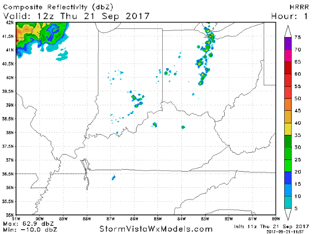
We will keep a ~10-20% storm risk in today’s forecast. Certainly a much better chance it stays dry. Posted below is the latest HRRR model forecast radar showing a few pop-up storms around western Ohio today.
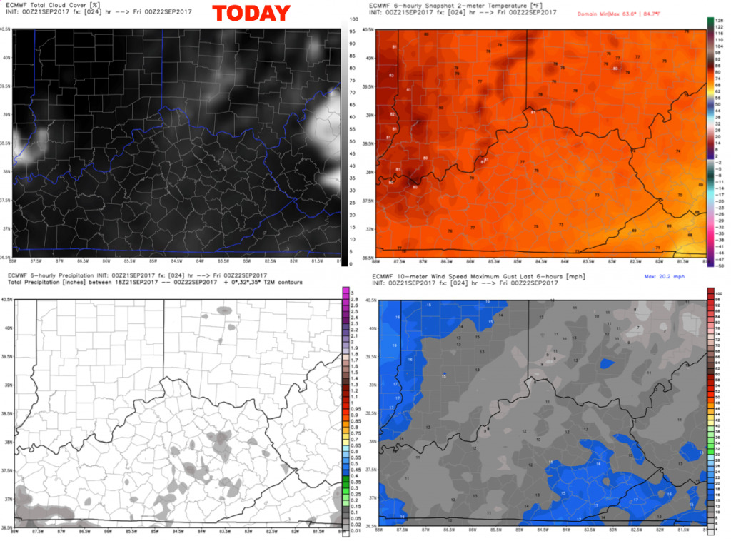
Here is the forecast cloud coverage, wind, and temps at 8pm. Partly cloudy skies with temperatures falling into the 70s through the game. Any pop-up storms should quickly fade beyond sunset. Winds will be generally calm. Weather delays are not expected.
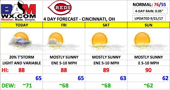
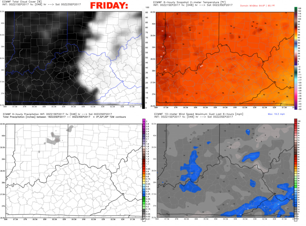
As an upper-level ridge continues to build, we will go with a dry forecast on Friday with mostly sunny skies. East-northeast winds 5-10 mph. Highs will top out in the upper 80s along with a rather humid feel.
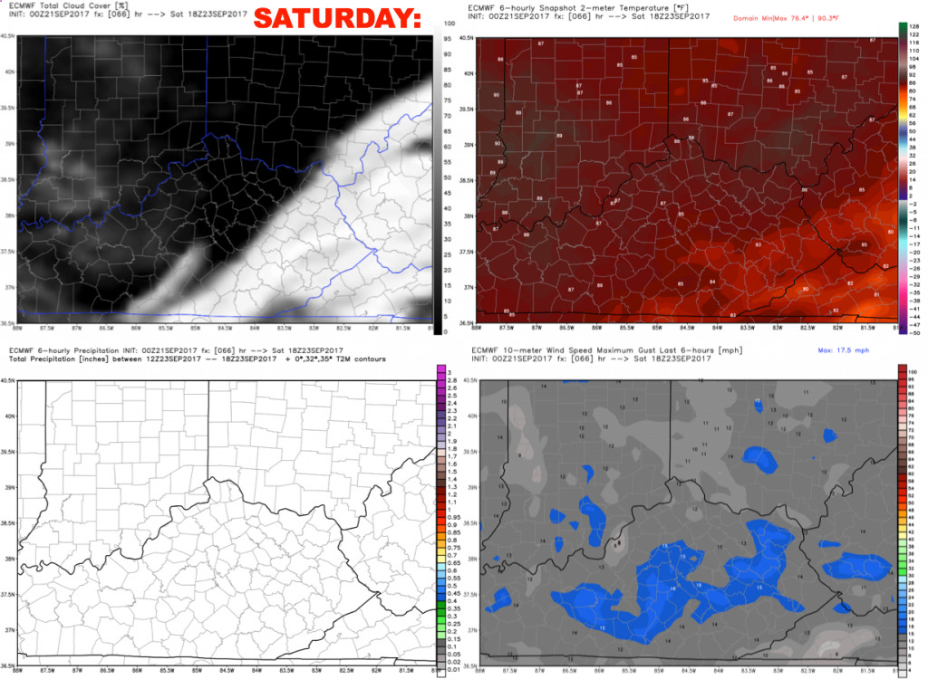
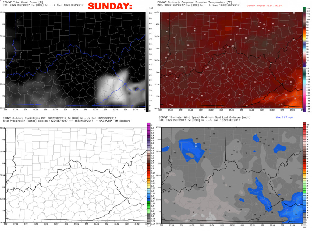
The upcoming weekend continues to look mainly sunny and hot. The good news is that humidity levels will drop off a bit. Highs will top out near 90 both afternoons.
Have a great day, and let us know if you have any questions!