Good Wednesday morning! Temperatures will continue to heat up to unseasonably warm levels through late week and the weekend, along with diminishing storm chances.
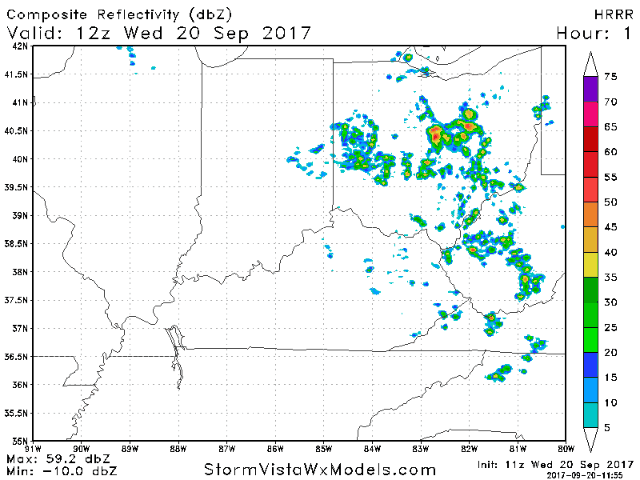
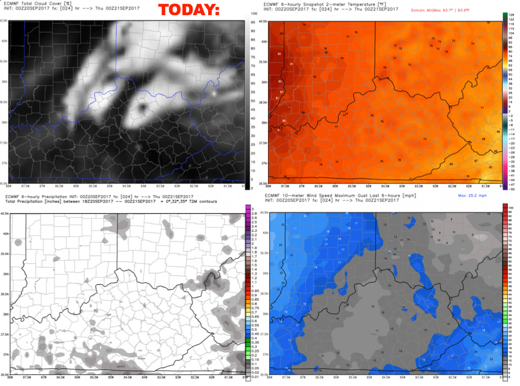
Waking up to dense fog this morning, and this fog will slowly dissipate through late morning. Should see a mix of sun and clouds this afternoon with a very small chance for a pop-up storm. Better forcing remains to the east so it likely remains a dry day. Weather delays are not expected. Here is an animation of the latest HRRR model:
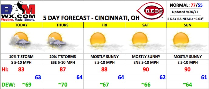
A warm and humid day with highs in the low to mid 80s, falling into the 70s through the evening. South winds 5-10 mph.
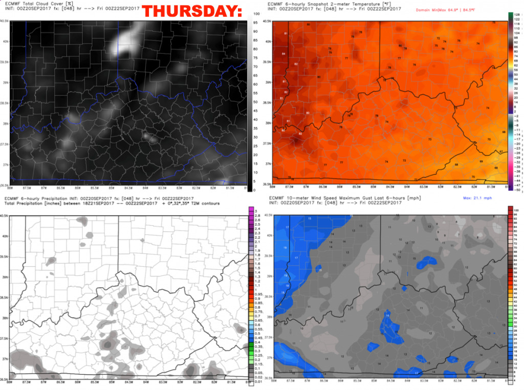
Thursday will feature a similar forecast, perhaps a slightly higher risk for spotty storms as a weak disturbance embedded in the flow remains overhead. Forecasting ~20% coverage. Warm and humid with highs in the mid to upper 80s. East-southeast winds 5-10 mph.
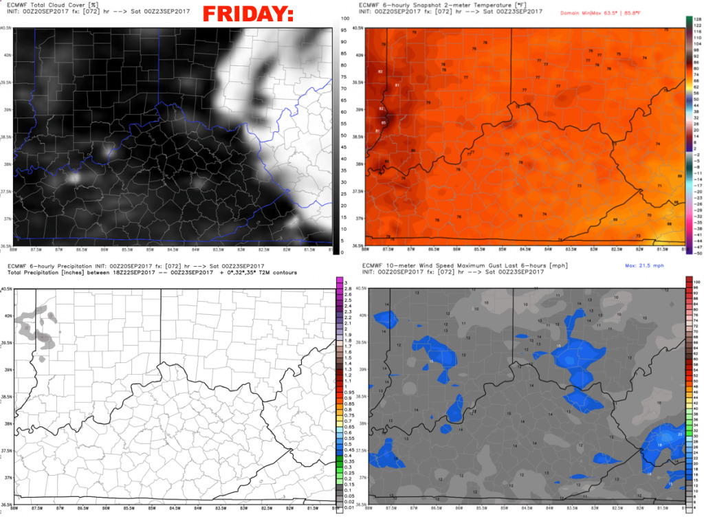
The forecast is dry for Friday as an upper-level ridge continues to build overhead. Temperatures soar close to 90º with moderate humidity.
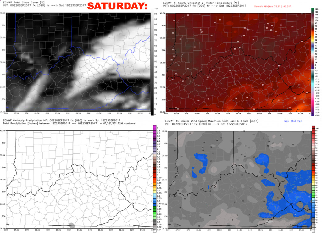
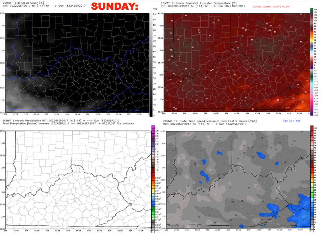
The weekend looks mostly sunny, dry, and hot as a strong upper-level high pressure continues to take hold. High temperatures will run nearly 15º above normal!
Have a great Wednesday, and let us know if you have any questions!