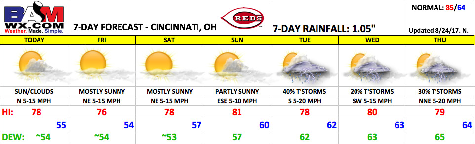
Good Thursday morning! Great weather continues for this homestand with unseasonably cool temperatures and dry conditions through the weekend. Heading into next week, the forecast becomes more unsettled with scattered rain chances returning.
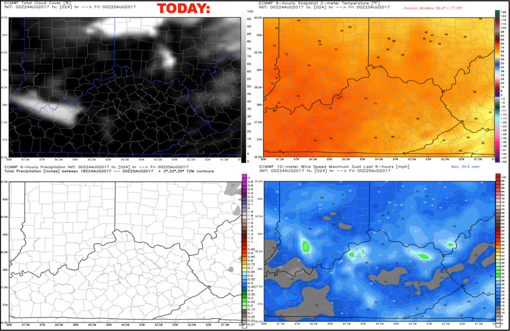
Today looks to feature a few more clouds filtering in during the afternoon, but overall expect partly cloudy skies with afternoon highs reaching the upper 70s. Another terrific evening for baseball. Winds will be out of the north at 5-15 mph.
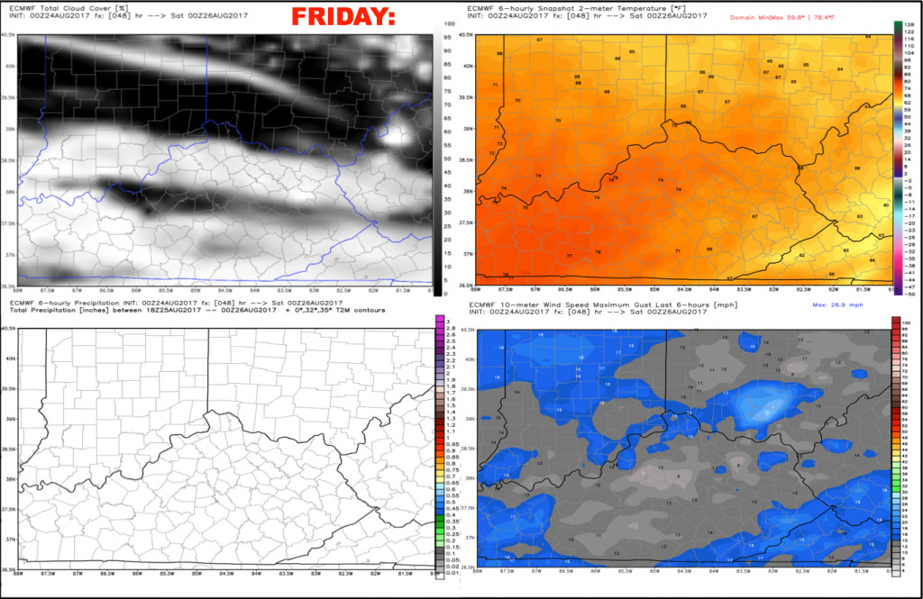
Friday will be another great day with mostly sunny skies and highs in the middle 70s. Winds will be out of the northeast 5-15 mph, continuing to keep our air mass very dry.
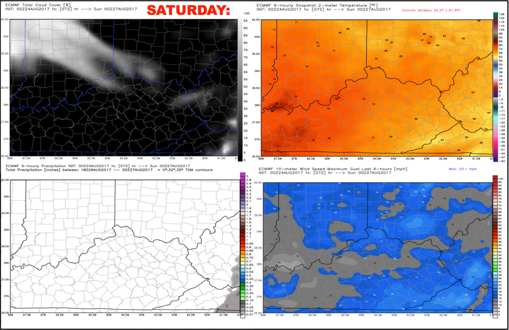
The weekend looks dry and very nice, with no weather issues expected. Saturday will feature mostly sunny skies with highs in the upper 70s, falling rather quickly into the 60s beyond sunset.
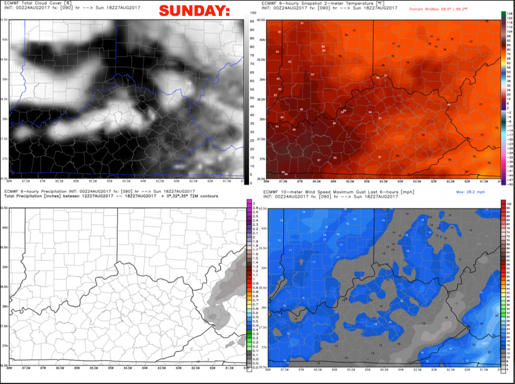
Sunday will feature a few additional clouds during the afternoon, but overall mostly sunny. It will be slightly warmer with afternoon temperatures nudging into the low 80s, but with very comfortable humidity. Winds will be out of the east-southeast 5-15 mph.
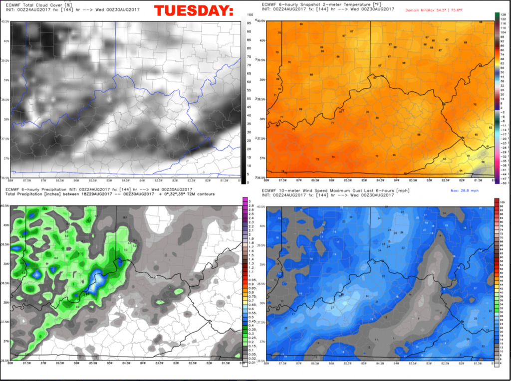
Some changes work in next week, as we have discussed. Tuesday looks to feature scattered showers and storms, with ~40% coverage. This may be increased as we get closer and confidence grows.
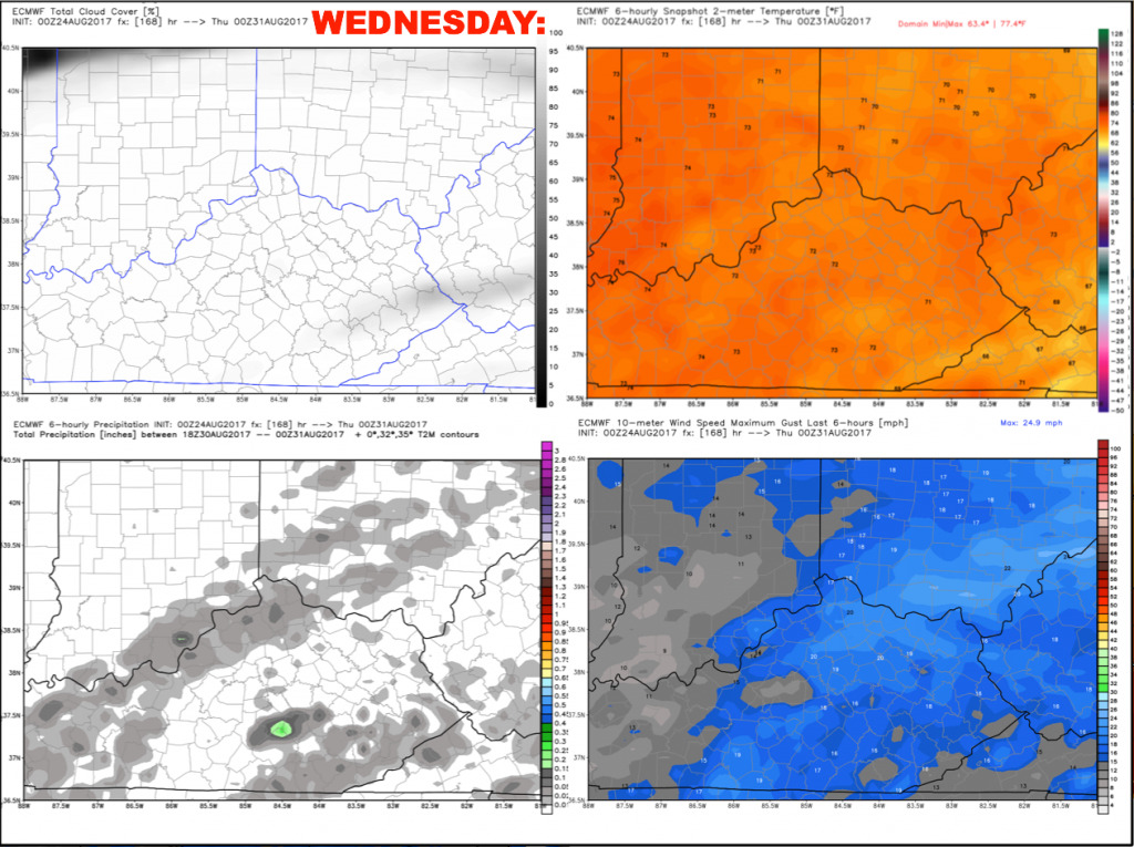
We will keep slight rain/storm chances in the forecast for Wednesday, but coverage at this distance looks spotty. Winds look to be out of the southwest 5-15 mph.
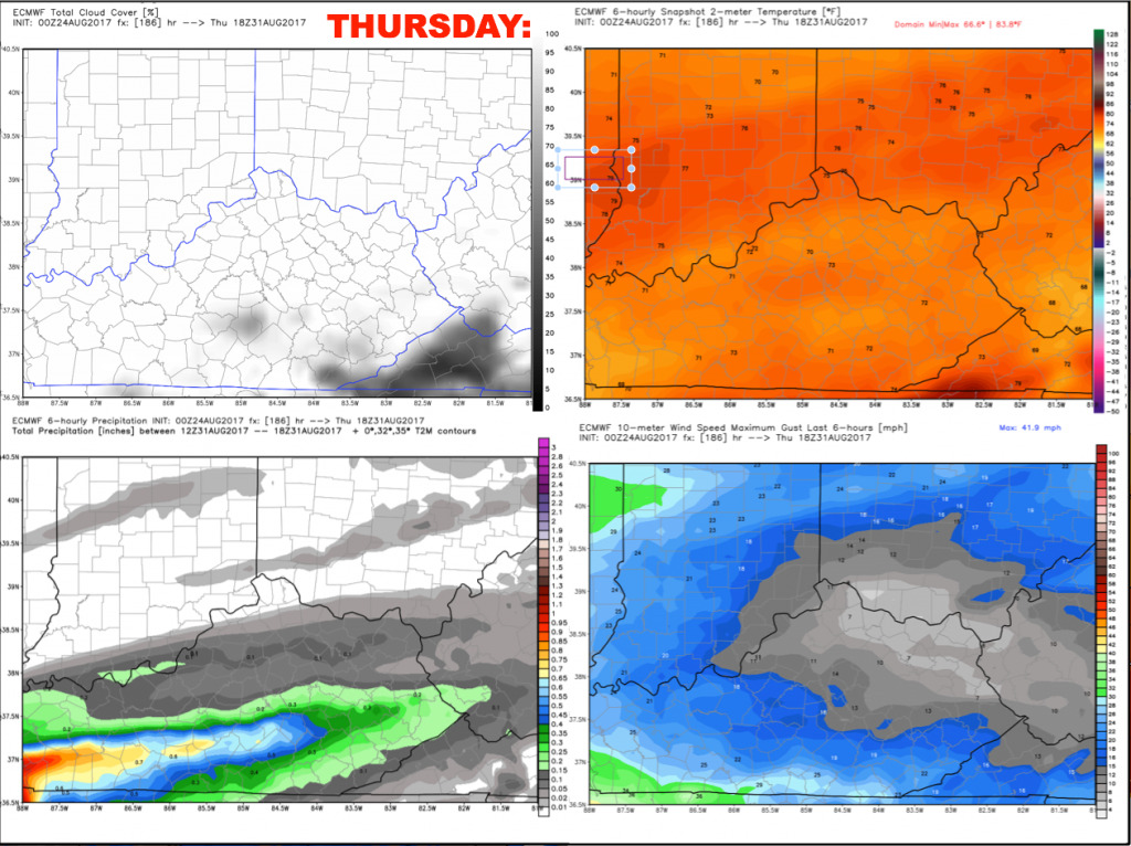
Uncertainties rise in the forecast by Thursday, as there is some possibility that the remnants of what looks to become Hurricane Harvey may move into the area late week. The good news is that most of the data holds off on the more widespread rain until Thursday night/Friday. If the slower trend continues, Thursday could be mainly dry. For now, we are forecasting ~30% scattered storms, but this forecast will need fine-tuned in the coming days.
Have a great Thursday, and let us know if you have any questions!