Good Sunday morning! The hot, humid, and stormy pattern continues today. Radar has been quite active over the past 12 hours with rounds of storms tracking across southern Indiana into southwest Ohio and northern Kentucky. Current radar at 7:15am shows most of the storm activity south and west of Cincinnati right now.
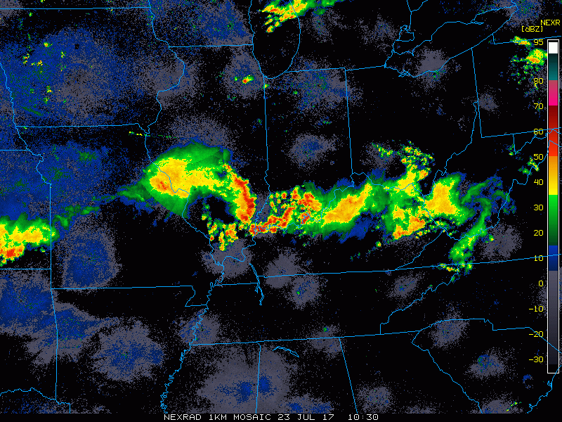
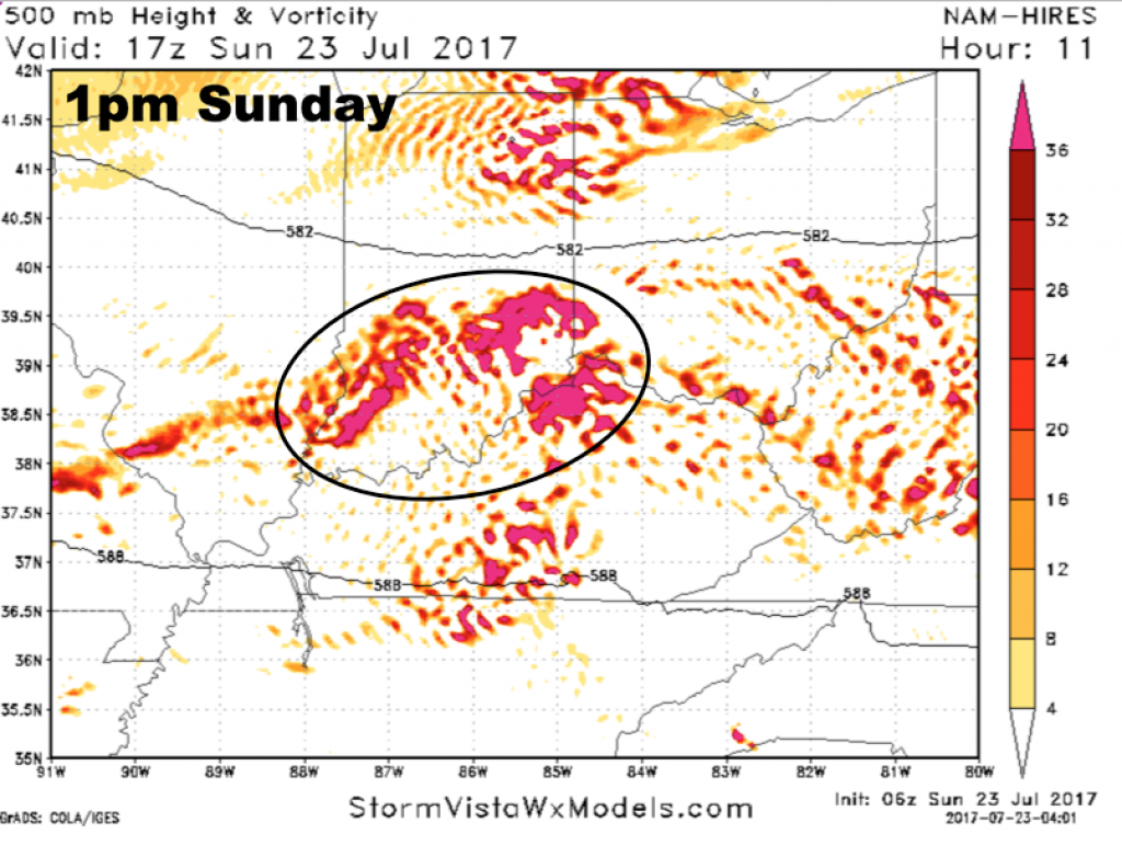
Something to monitor will be that batch of storms working into southwest Indiana this morning. Models were trying to break apart this area of storms, but it has maintained itself very well as it continues to move east. The energy associated with this feature looks to move over Cincinnati later this morning into the early afternoon, bringing a good threat for showers and storms.
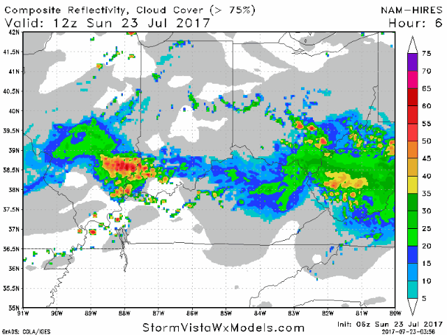
Scattered storms will increase heading through the afternoon. Posted below is a future radar animation going from 8am to 7pm. The hi-res NAM model seems to have a better handle on the storms this morning vs. the other hi-res data. I don’t believe the game is a washout, but the idea will be for storm chances to increase later this morning, then additional scattered storms bubbling up this afternoon. Temperatures will be highly dependent upon clouds and precipitation coverage, but at the least highs well into 80s are likely with heat indices maxing out near 100º today with very high humidity levels. Winds will be out of the west 5-20 mph.
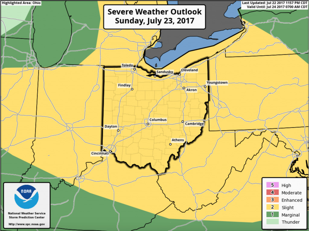
There is also the threat for more severe storms today. The Storm Prediction Center has the area under a slight risk. The main threats will be very heavy rainfall and damaging wind gusts.
Radar trends will be key heading through the morning. Have a great Sunday, and let us know if you have any questions.