500 Festival Forecast – Wednesday (5/24/17)
Synopsis: Good Wednesday afternoon! Below are the latest details for the events Friday and Saturday later this week. Isolated showers/storms possible on Friday, and then a more scattered storm threat will be possible on Saturday for the Parade.
Friday:
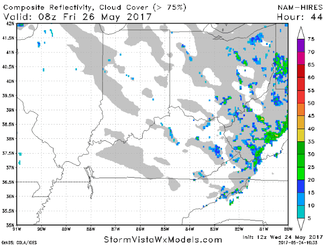
Simulated radar…thinking right now is an isolated chance for a shower during the morning hours on Friday, then ~30% for a shower/storm after noon here as well. A stronger wave of storms looks to push east later Friday evening into very early Saturday morning.
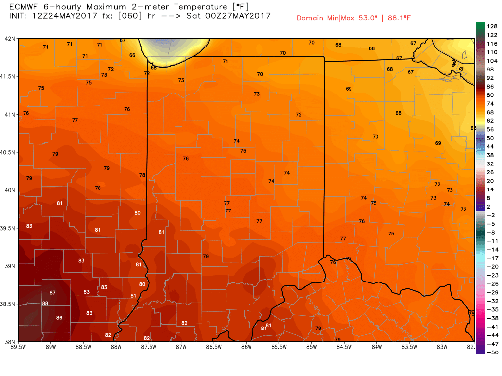
Temperatures rise through the lower 60s into the mid 70s on the day on Friday as well.
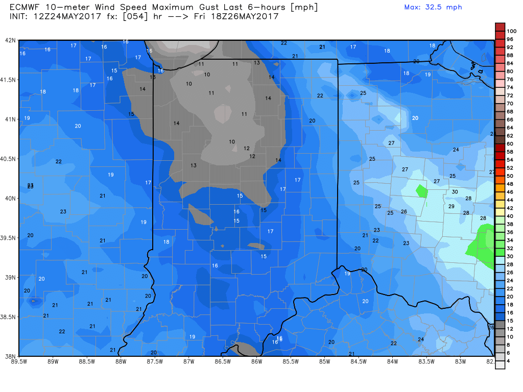
Winds will be out of the south-southwest at 5-10 mph, gusting at times to 15 mph.
Saturday:
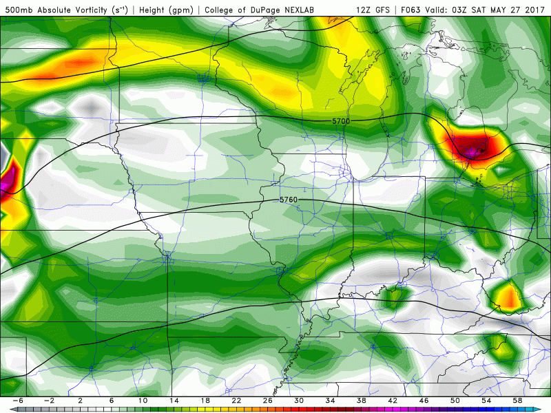
The timing for any precipitation on Saturday is still variable given changes in our most recent data. Again, if this system speeds up or slows down at all will chance the coverage of storms. Latest glance at energy in the upper-levels of our atmosphere…noted by the greens/yellows and brighter colors means there’s a small risk for some showers and storms for the event on Saturday…right now coverage looks to be ~40%…need a little bit more time to fine-tune these specifics.
Temperatures climb through the 60s to near 80º on the day on Saturday.

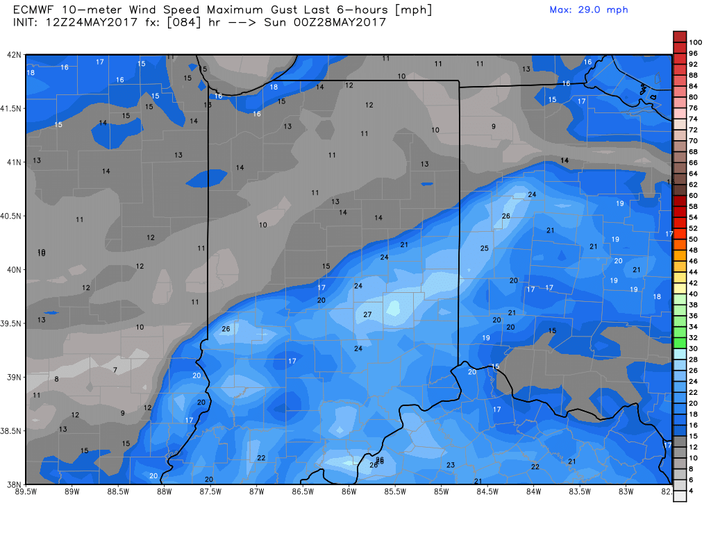
Winds will be out of the southwest at 5-10 mph, gusting at times to 15-20 mph.
If you have any questions, please don’t hesitate to reach out.
-Kirk