500 Festival Forecast – Friday (5/19/17)
Synopsis: Good Friday morning! We continue to watch for a decent cluster of storms late morning into early Saturday afternoon that could bring some strong storms with it as well, all the details are below. A weather-related delay will be possible for any outdoor activities.
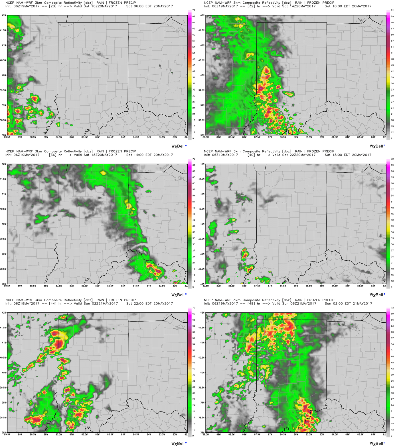
Simulated radar from the latest 3km-NAM shows a nice line of storms moving into the metro area late tomorrow morning through early afternoon. A small dry window may be present during the afternoon before another wave of storms moves east later Saturday night.
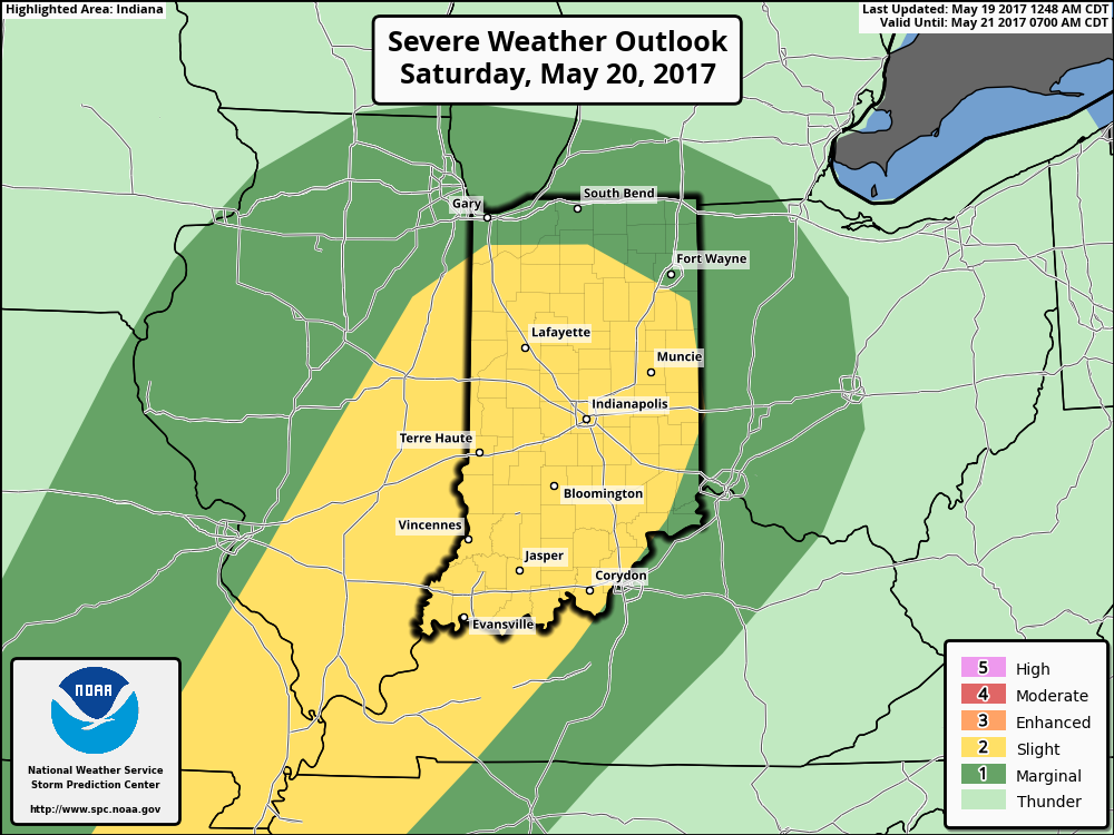
Can’t rule out a strong storm as well here, main threats will be gusty winds and some hail possible as well as some potential heavy rainfall.
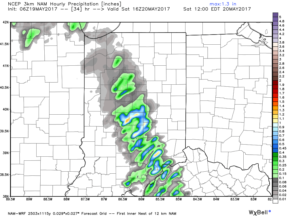
As this line moves through, it will be possible for 1.0-1.5″+ more of rain to fall given such high moisture content in the atmosphere.
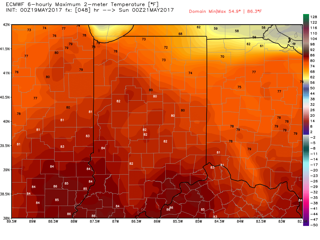
Temperatures will climb through the 60s and 70s throughout most of the event, current thoughts are we still reach a high in the lower 80s for tomorrow.
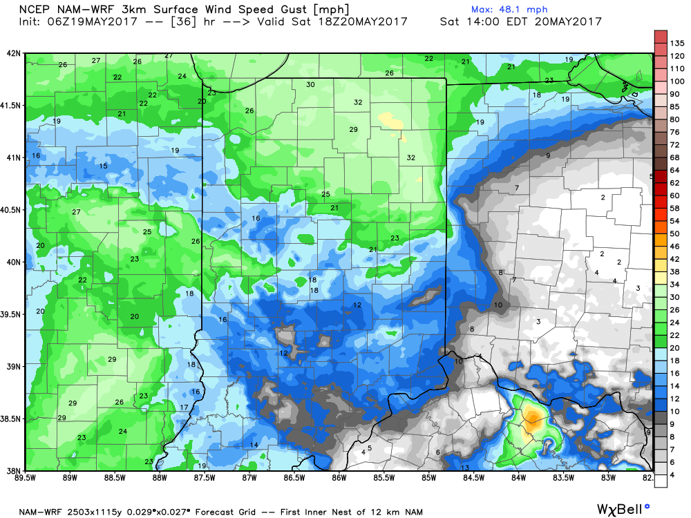
Winds will mainly be out of the southeast at 5-10 mph, gusting at times to 25-30mph especially as that line of storms passes.
If you have any questions please don’t hesitate to reach out, have a wonderful weekend.
-Kirk
