Today’s video (6 min):
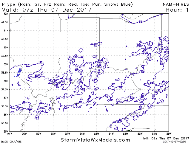
On and off snow flurries and snow showers possible today with lingering energy hanging around the state…simulated radar is likely slightly underdone in terms of coverage:
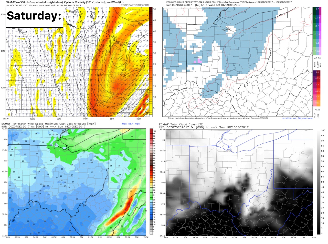
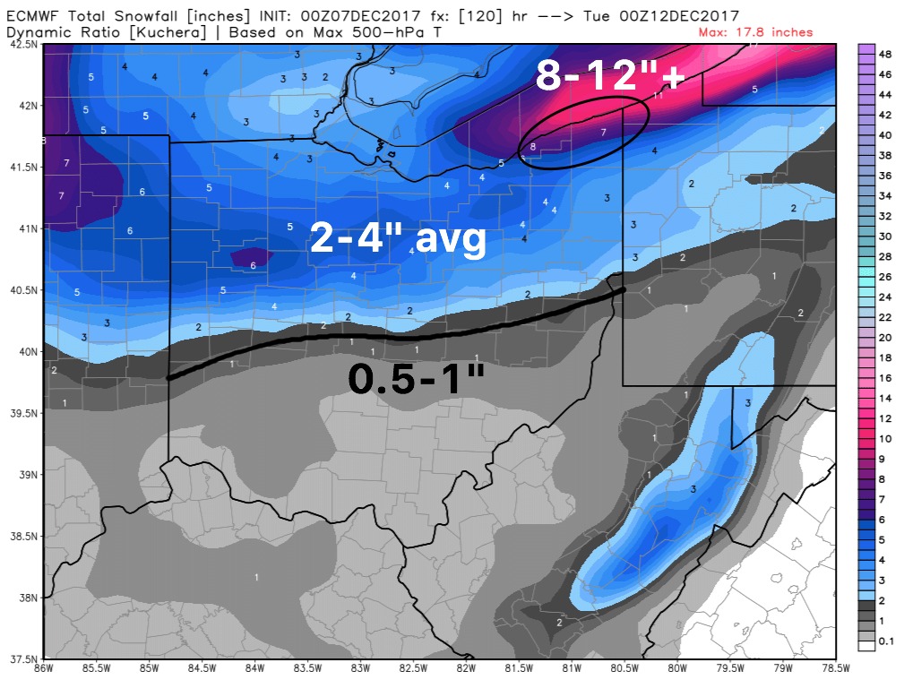
Saturday…continuing to target accumulating snow…right now we are favoring north of I-70 for the heavier snowfall to set-up north of I-70, and then another shot of snowfall on the backside with the lake effect adding to these totals.
Thoughts on accumulation:
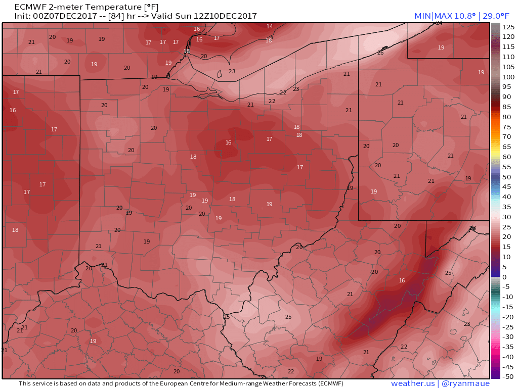
Temps in the AM likely underdone Sunday morning…think we dip down into the mid to lower teens with a refreeze possible on untreated surfaces: